Seabed maps and insights AusBathyTopo grids: Joining land and sea
Page last updated:27 August 2026
The AusBathyTopo grid series provides a seamless 3D dataset of Australia's land and seabed. By combining bathymetry and elevation information from thousands of datasets, it supports planning, scientific research and marine management.
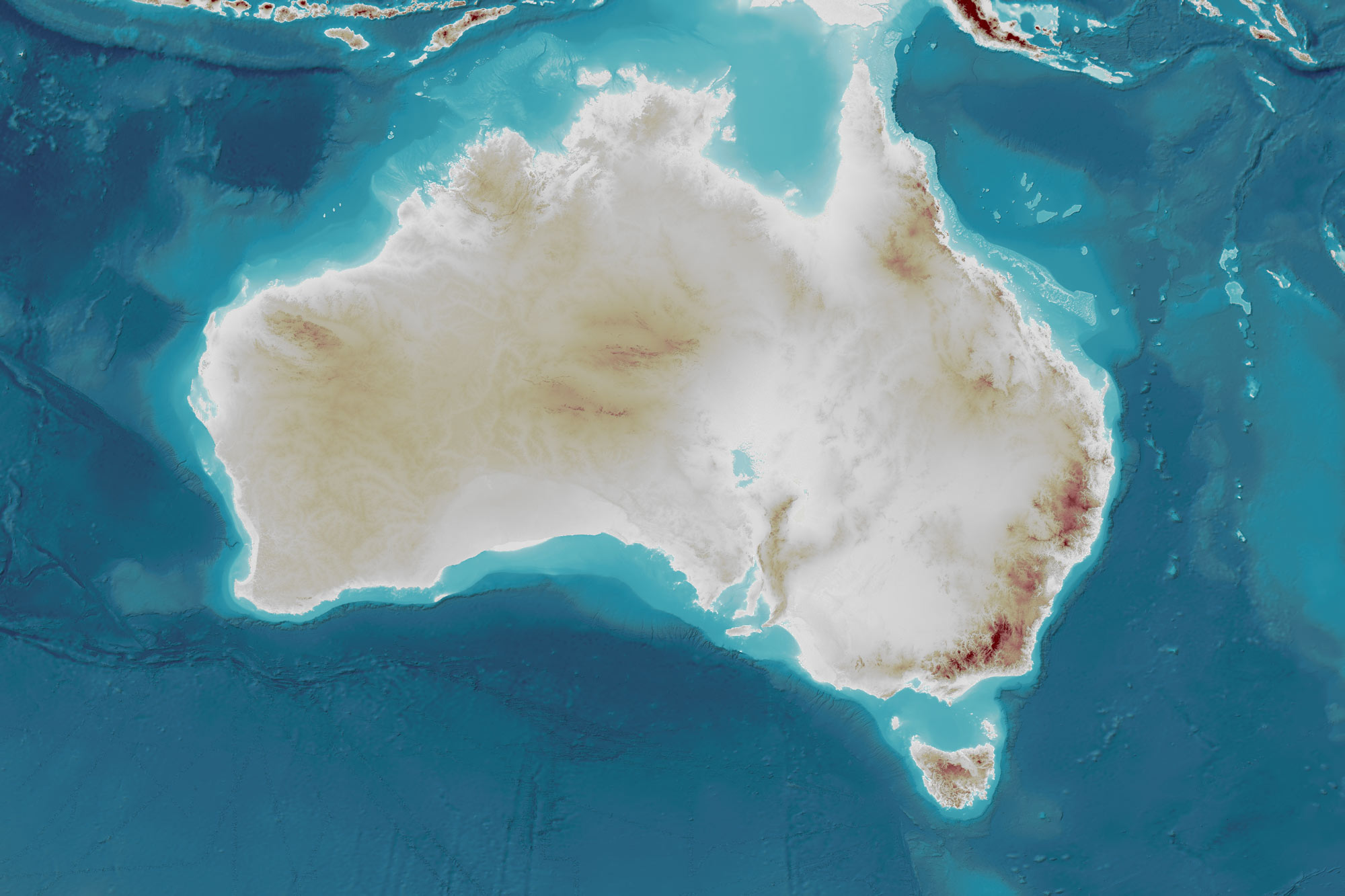
A seamless national-scale view
Australia's landscapes extend beyond the coast and into the ocean, but seabed depth (bathymetry) and land elevation (topography) have historically been published as separate data products.
The AusBathyTopo grid series provides Australia's only seamless national-scale representation of landscapes across the land–sea interface, combining bathymetry and topography into integrated, nationally consistent 3D datasets.
The result is a continuous view of Australia above and below the water — providing a powerful new perspective for analysis and decision-making.
Go to the AusBathyTopo 250m (Australia) 2026 grid
See all the regional AusBathyTopo grids
Delivering value across Australia's marine estate
The AusBathyTopo grids are used to inform decisions across government, industry, research and environmental management.
Applications include:
- marine spatial planning
- offshore renewable energy
- environmental assessments
- marine park planning and management
- hazard, storm surge and tsunami modelling
- coastal planning and climate change modelling
- infrastructure planning
- scientific research
- ocean economics
Because a national approach supports many different uses, information collected once can be reused to support additional applications over time.
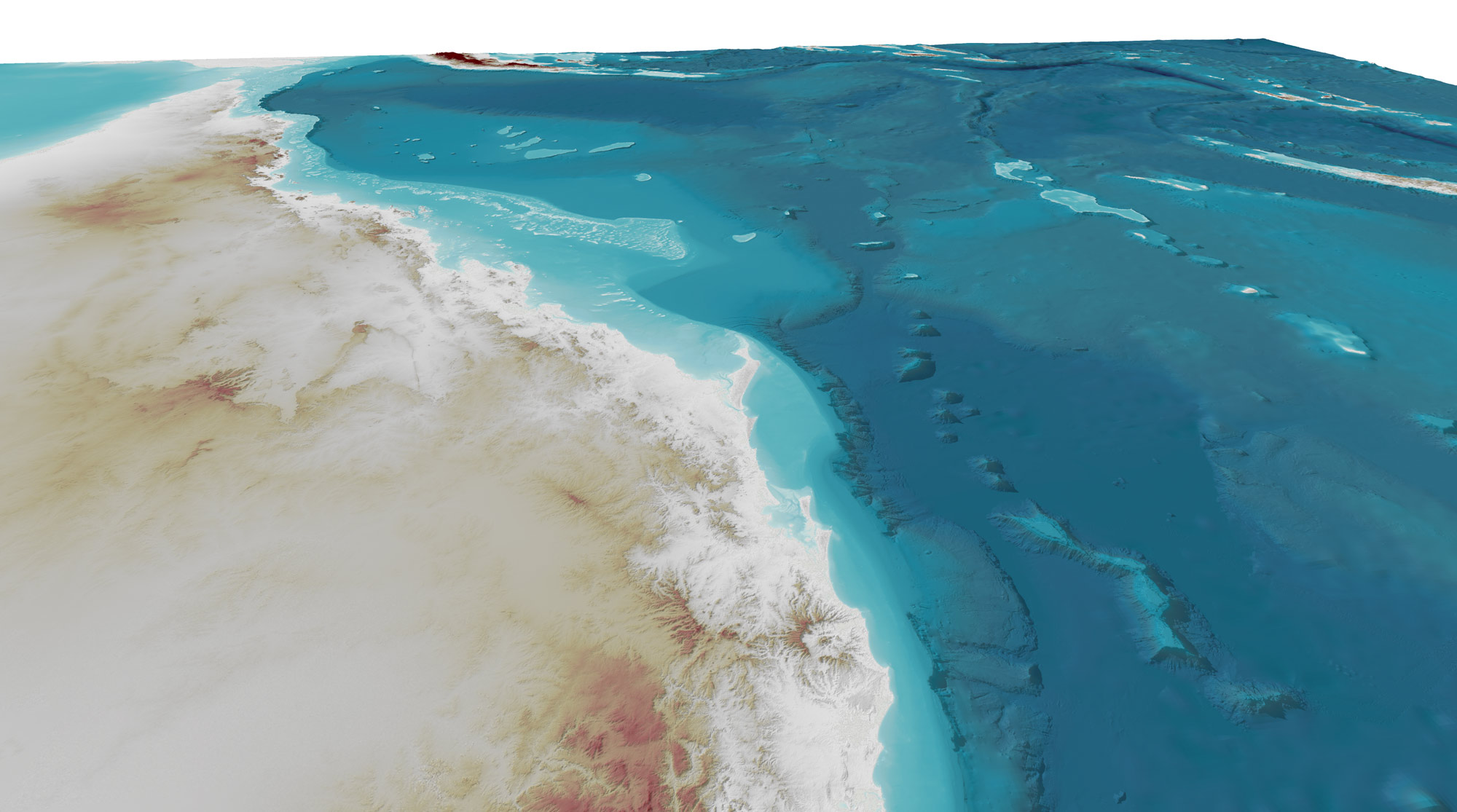
Stitching together thousands of datasets
Creating a national grid requires datasets collected using different technologies, standards and reference systems to be integrated into a consistent national surface.
The AusBathyTopo grid series carefully stitches together datasets collected over decades including multibeam and single-beam sonar, bathymetric LiDAR, satellite-derived bathymetry, electronic navigation charts and regional bathymetric compilations.
Where direct bathymetry measurements are not available, depths are estimated from satellite altimetry data. Earth observation products from Digital Earth Australia improve the representation of shallow coastal waters and the transition between land and sea.
Together, these create the best achievable national representation of Australia's land and seabed using available data.
The grids cover areas surrounding the Australian mainland, Tasmania, Macquarie Island, Norfolk Island, Christmas Island, and Cocos (Keeling) Islands. Other areas within Australia's maritime jurisdiction, including the areas surrounding Heard Island and McDonald Islands and adjacent to the Australian Antarctic Territory are not included.
Built through national collaboration
The AusBathyTopo grids are the result of decades of collaboration across Australia's seabed mapping community, drawing on data contributed by Australian and international governments, research organisations and industry, many of them through the AusSeabed collaborative initiative, as well as Geoscience Australia’s extensive archive of bathymetric data.
As new data becomes available, the grids are refined and expanded. This ongoing refinement enhances detail in the 250 m national grid and enables the development of higher resolution regional products for new areas across Australia.
Every release strengthens the foundation for seabed feature mapping, marine characterisation and other integrated marine information products, supporting national initiatives such as Resourcing Australia’s Prosperity.
Contributing to the global seabed map
The impact of the grids goes beyond Australia's waters.
AusBathyTopo grids are integrated into the global seabed data products of the General Bathymetric Chart of the Oceans (GEBCO) through the Nippon Foundation-GEBCO Seabed 2030 Project, helping improve global knowledge of the world's oceans.
Related resources
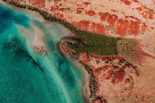
Resourcing Australia's Prosperity
The landmark Resourcing Australia’s Prosperity initiative is an ambitious endeavour. It will use innovative data, research and analysis to assess national potential for a broad suite of the resources critical to the net zero transition, supporting a strong resources and energy sector.
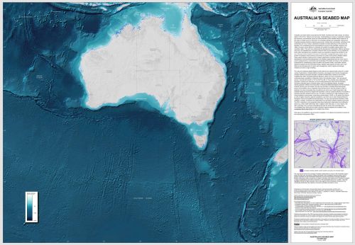
Download Australia’s Seabed Map
A large-format digital map based on the 2023 AusBathyTopo 250 m dataset, Australia’s Seabed Map is a continental-scale compilation of bathymetry data in the Australian region.
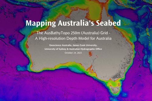
AusBathyTopo StoryMap
Discover Australia's seabed through an interactive StoryMap featuring the AusBathyTopo 250 m grid and its applications in marine science, environmental management and ocean planning.
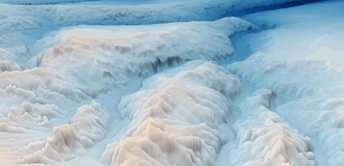
What is bathymetry?
Discover how bathymetry data is collected and why it provides the foundation for navigation, marine planning, hazard assessment and ocean science.