Knowledge article What is bathymetry?
Page last updated:27 August 2026
Bathymetry is the science of measuring water depth and mapping underwater landscapes. It provides the foundation for navigation, marine planning, hazard assessment and ocean science.
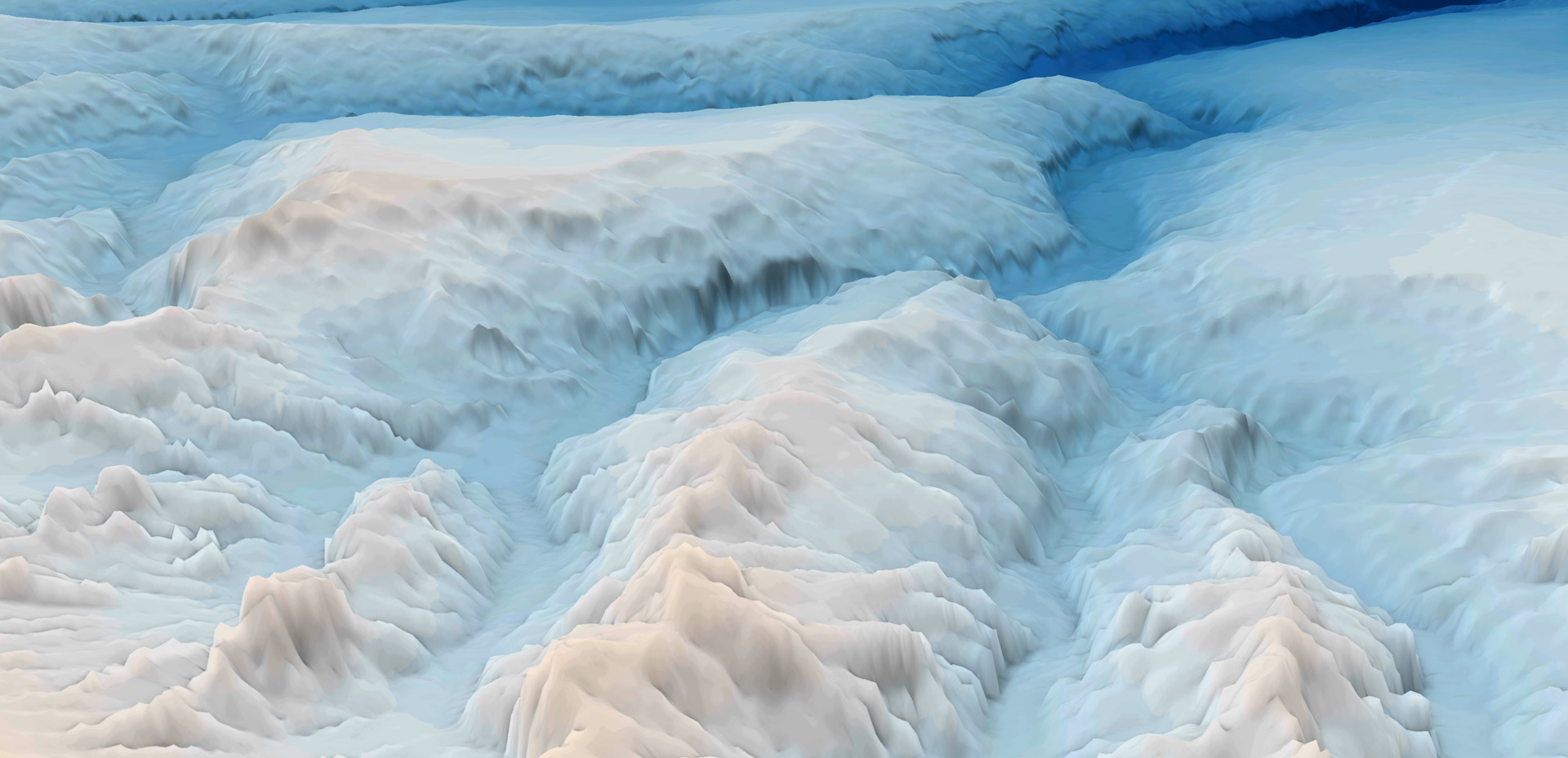
Measuring depth and shape
Bathymetry is the science of measuring and mapping the depth and shape of the seabed. It is the underwater equivalent of topography.
Just as mountains, valleys and plains define terrain on land, the seabed is shaped by seamounts, canyons, plateaus, ridges and reefs. Bathymetry data builds a picture of these undersea features and provides the foundational data for visualising and understanding the marine environment.
The word bathymetric comes from two Greek words: bathys, meaning ‘deep’, and metrike, meaning ‘to measure.’
Geoscience Australia collects, analyses and interprets a wealth of bathymetric and other seabed data and makes it freely available through the AusSeabed Marine Data Portal.
Why does bathymetry matter?
Bathymetry is essential in understanding marine landscapes. The shape of the seabed and depth of the water influence the broader environment – including temperature, water currents and the availability of light.
Like topographic maps on land, bathymetric maps provide the information on which many marine and coastal maps, models and assessments are built.
This information supports safer navigation, environmental stewardship, offshore energy planning, coastal resilience, and research into ocean and climate processes.
Bathymetry becomes even more powerful when combined with topographic information collected on land. Historically, topographic and bathymetric data have required different expertise, and have been managed by different agencies and teams. When both data types are merged into seamless 3D datasets scientists, planners and decision-makers can understand our landscape as a whole.
How is bathymetry data collected?
Several complementary techniques are used collect bathymetric data. Most measure water depth directly, while others provide additional information about the physical characteristics of the seabed.
Data is collected from vessels, aircraft, satellites and autonomous systems. Together these datasets help scientists build a more complete picture of underwater landscapes.
Learn more: Technologies for collecting bathymetry data
Bathymetry is just the beginning!
Bathymetry reveals the depth and shape of the seabed — but there is much more to discover. Geoscience Australia works with partners to combine bathymetry with information about sediments, geology, seabed texture and features, building a richer picture of Australia’s underwater landscapes.
We bring this wealth of seabed knowledge to the surface, turning data into insights that can inform decisions about our marine environment.
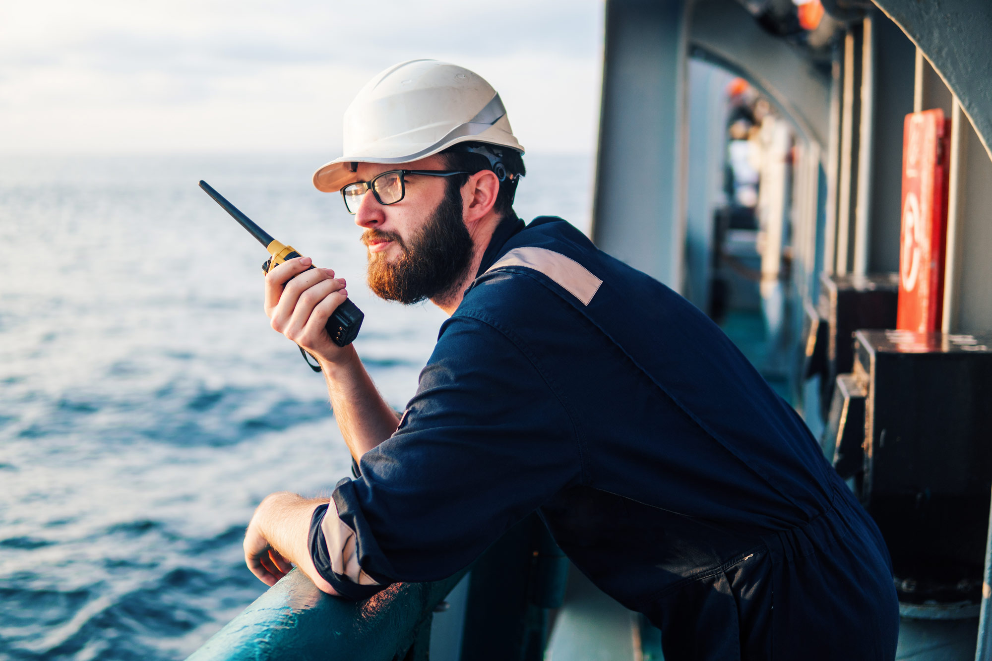
Bathymetry at work
Planning for coastal disasters
How does our seabed information help Australia’s emergency managers understand and plan for the potential impacts of tsunamis?
Enabling Australia’s offshore vision
Our trusted bathymetry data helps Australia plan, manage and understand emerging offshore renewable energy environments.
Learn more
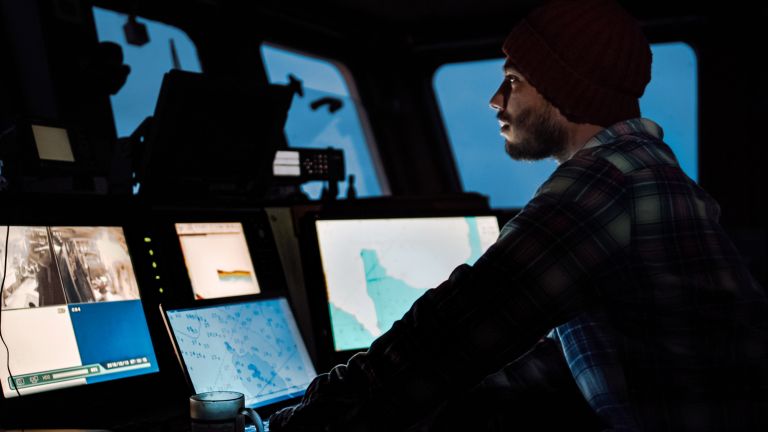
Every year, new surveys, improved technologies and the digital recovery of historical data help reveal a more complete picture of Australia's seabed.
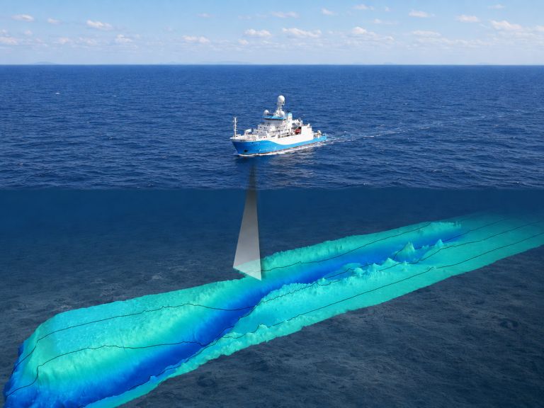
Learn how information is collected across Australia's marine estate through coordinated surveys undertaken by government, research and industry organisations.
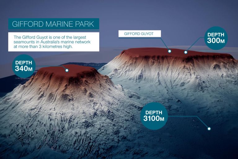
Flythrough movie of Gifford Marine Park, which is located 600 km east of Brisbane, Australia. Bathymetry from two surveys reveals the treasures of its seamounts.