Seabed maps and insights We bring seabed knowledge to the surface
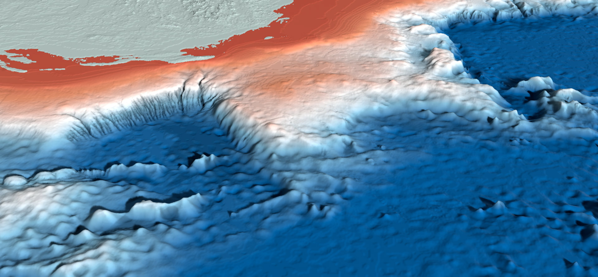
Australia's vast seabed holds information essential to our environment, economy and national security. Geoscience Australia maps and interprets these underwater landscapes, providing open data, scientific insights and tools for research, planning and management.
Page last updated:27 August 2026
A shared view of Australia’s seabed
AusSeabed is Australia's national seabed mapping collaborative initiative
Led by Geoscience Australia, AusSeabed brings together government agencies, researchers and industry from around Australia to make a wealth of ocean data openly accessible and easier to reuse.
By improving access to seabed information and coordinating future mapping, we’re unlocking ever deeper insights into Australia’s marine and coastal landscapes and how we use them.
Visit the AusSeabed website
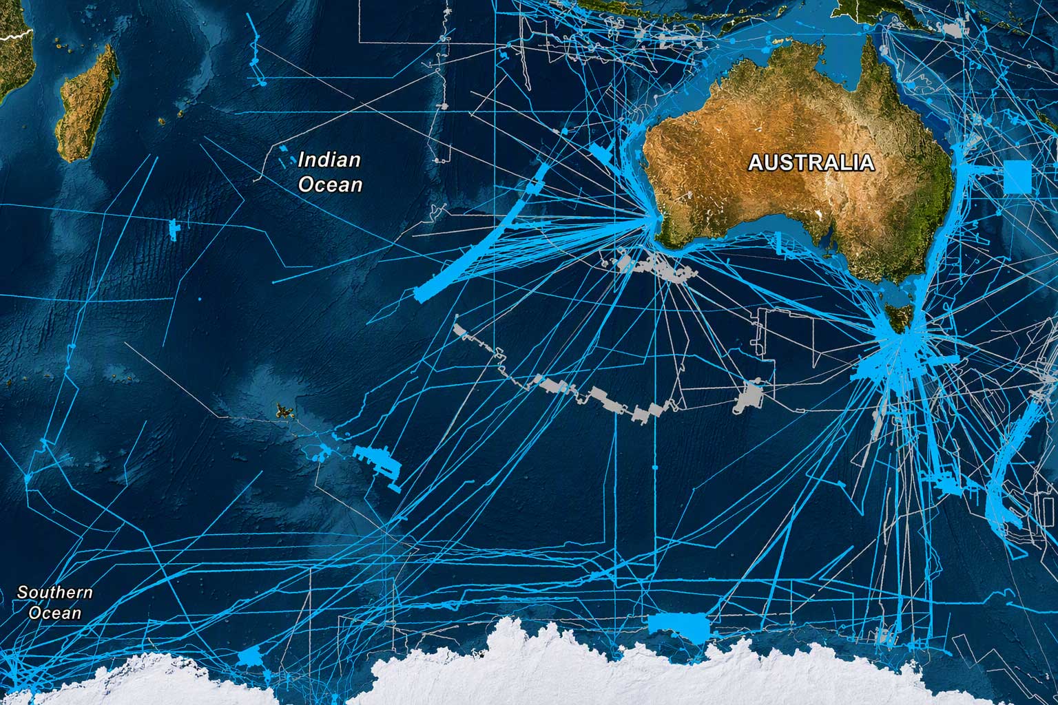
How much of Australia’s seabed has been mapped?
We find the meaning in maps
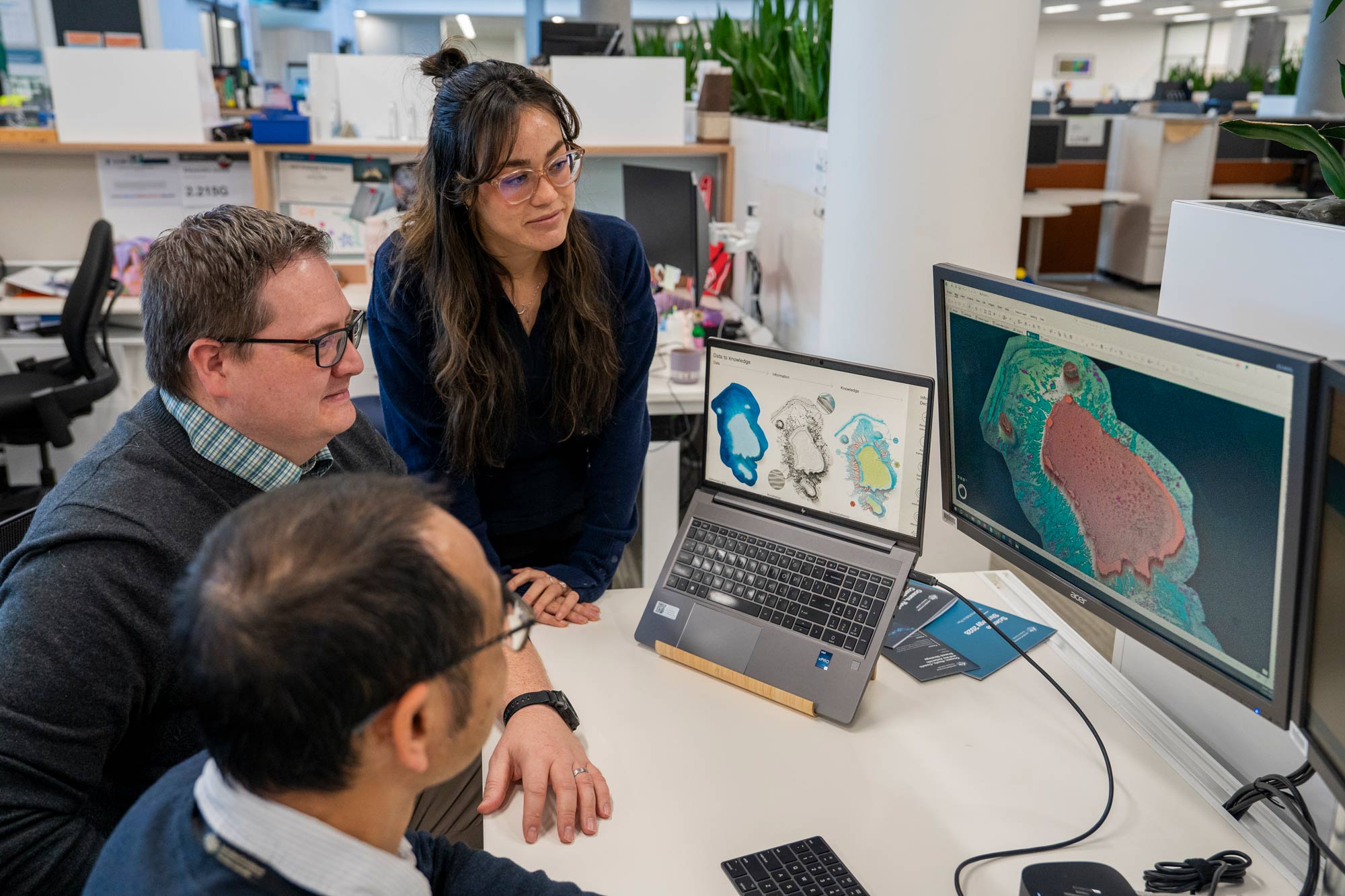
By interpreting the features revealed through seabed mapping, our scientists uncover how marine landscapes formed, how they function, and how ocean environments are connected.
This interpretation is known as marine geomorphology.
Geoscience Australia works with experts across Australia and around the world to develop the standards, tools and classification frameworks that help ensure marine landscapes are interpreted consistently and used confidently in research, planning and decision-making.
Use our trusted data and tools
AusSeabed Marine Data Portal
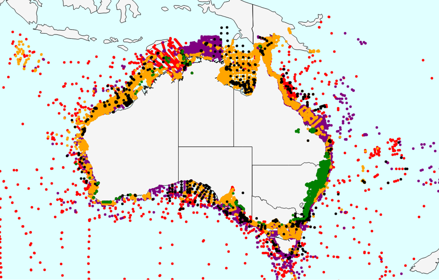
Access our extensive database of bathymetry, backscatter and seabed sediment information, including the AusBathyTopo depth and elevation grids.
Explore now
MARS sediments database
Discover decades of marine sediment surveys and the data that help reveal the character of Australia's seabed.
Go to MARS
Survey Coordination Tool
Share your survey priorities, register planned marine surveys and identify opportunities for collaboration in seabed mapping across Australia's marine estate.
About the tool
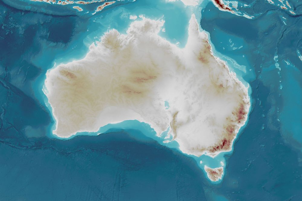
AusBathyTopo: Joining land and sea
The AusBathyTopo grid series combines bathymetry and topography into seamless, consistent 3D datasets at national and regional scales.
The result is an unbroken view of Australia’s interconnected marine, coastal and terrestrial landscape, providing a foundation for analysis and decision-making around the country.
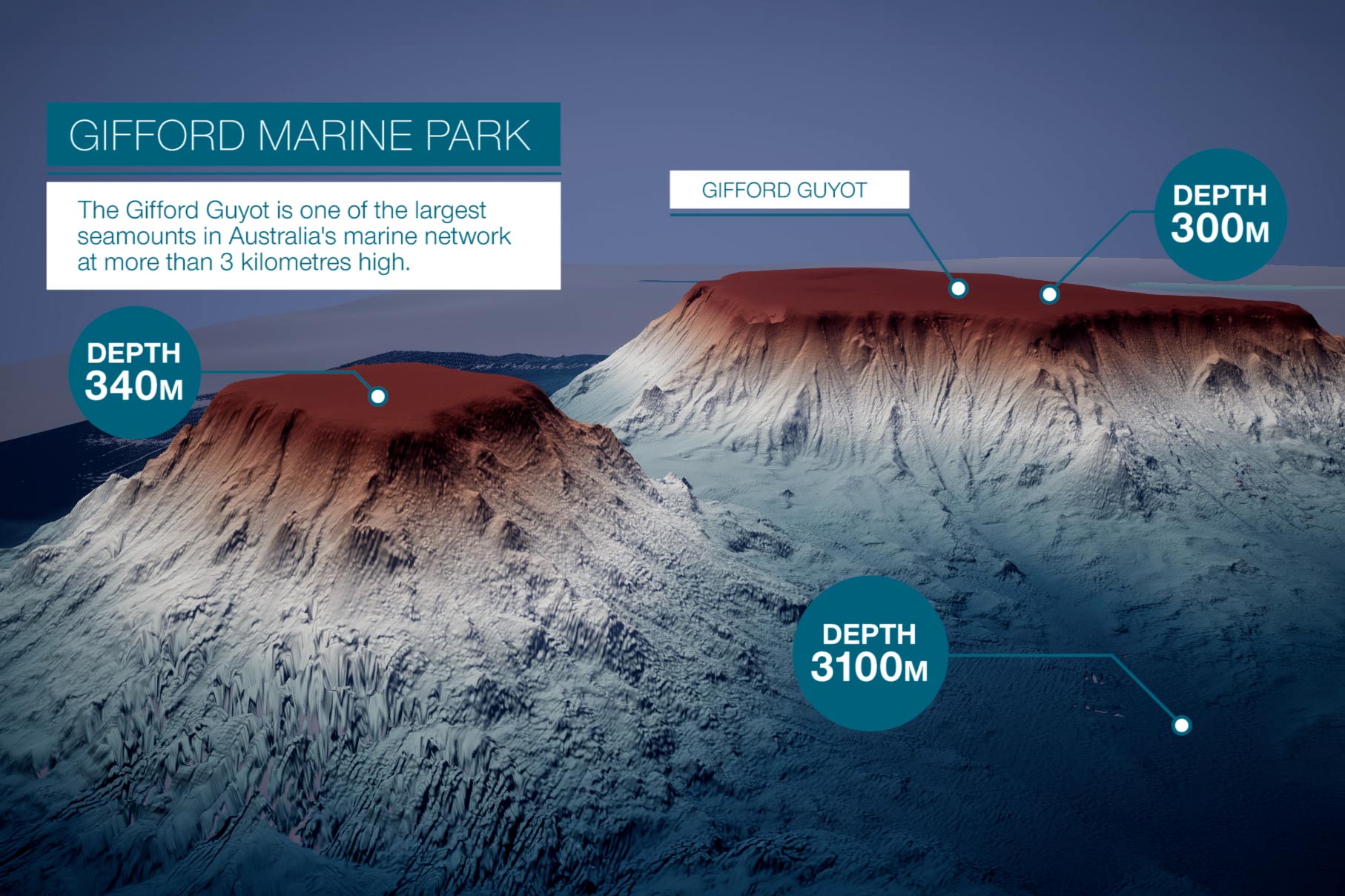
Dive into the science of the seabed
Explore our Seabed Knowledge Hub to discover:
- How seabed surveys work
- How bathymetry data is collected
- How our data and maps were used in the search for missing flight MH370.
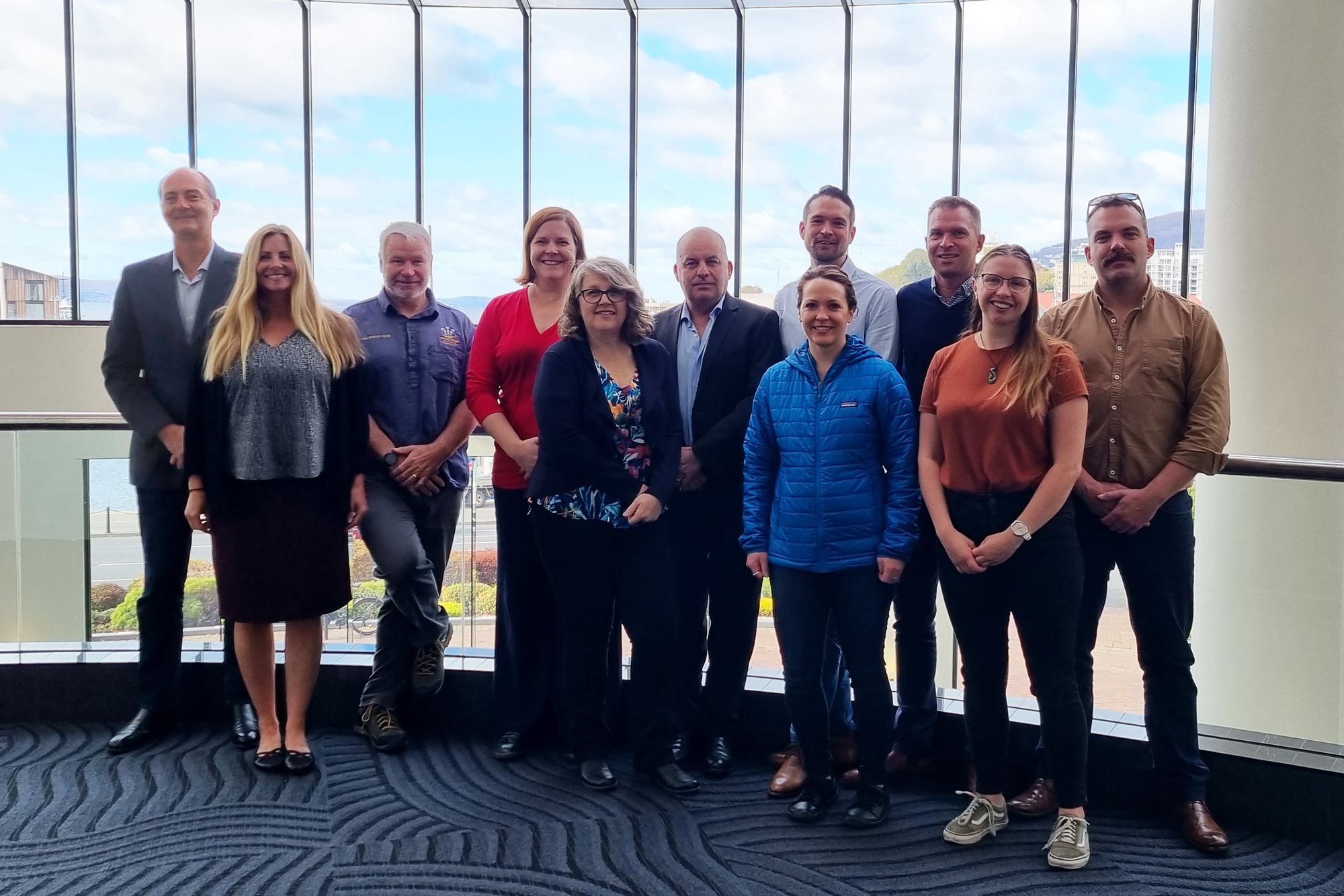
Connect with our seabed community
AusSeabed brings together government, research, industry and community organisations working to improve understanding of Australia's seabed.
Stay connected through the AusSeabed newsletter for mapping updates, events, new datasets and community news.