Knowledge article Technologies for collecting bathymetry data
Page last updated:27 August 2026
Scientists use sonar, LiDAR, satellite imagery and autonomous systems to collect bathymetry data and map the depth and shape of the seabed. Different technologies are suited to different water depths and environments, from shallow coastal waters to the deep ocean.
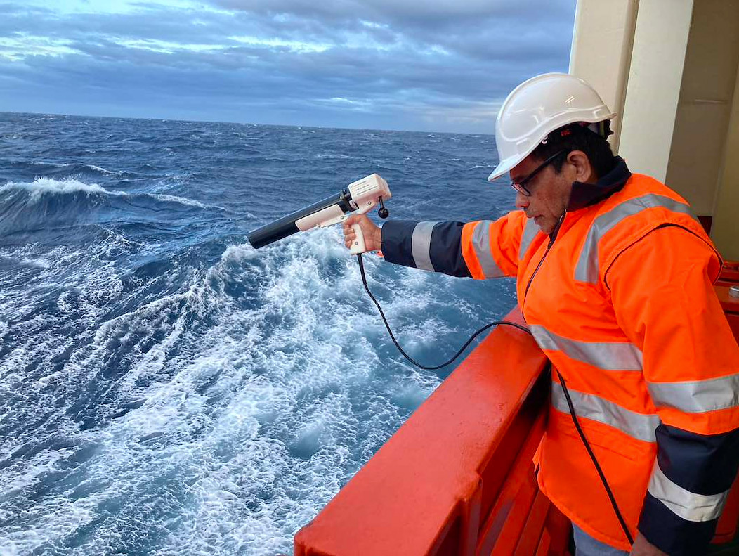
Several complementary techniques and technologies are used to collect bathymetric and other seabed data. Geoscience Australia plays a key role in integrating this data into national seabed data and insights.
Sonar methods
Sonar technologies use sound to measure the depth and shape of the seabed. Sound can travel through the water column — far below where light can reach — so most bathymetric surveys rely on acoustic methods to measure seabed depth.
Multibeam echosounders
Multibeam echosounders are the standard sensor for modern seabed mapping.
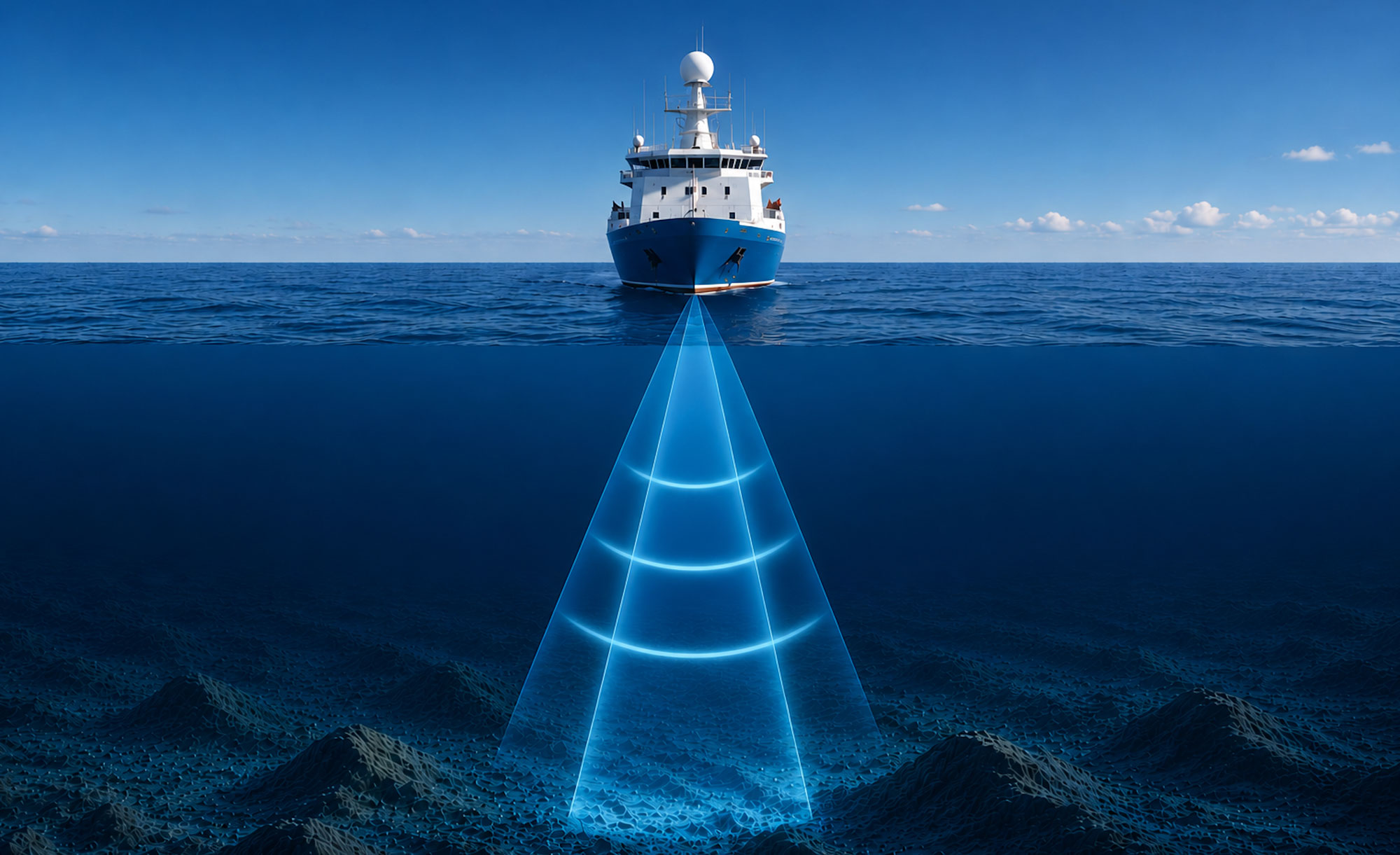
Mounted on the hull of a survey vessel, a multibeam system sends out a fan-shaped swath of sound waves down towards the seabed. By measuring how long it takes for the sound waves to travel to the seabed and return, scientists can calculate water depth across a wide area.
Unlike older systems that collect a single line of depth measurements directly under the vessel, multibeam systems collect hundreds or thousands of soundings every second, producing highly detailed 3D models of underwater landscapes on either side of the vessel’s path.
Different sonar frequencies are used for different environments and water depths. Higher-frequency sound waves provide greater detail but travel shorter distances through water, making them well suited to shallow environments. Lower-frequency systems can map much deeper water, although with lower resolution. Choosing the right frequency is an important part of survey design.
Multibeam backscatter
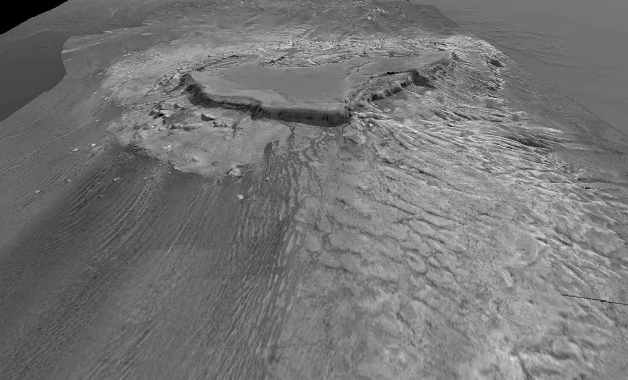
Modern multibeam echosounders collect more than bathymetry. They also record backscatter, which provides information about the hardness and texture of the seabed.
Backscatter is a measure of the intensity of the sound pulse that returns to the sensor after echoing off the seabed. Just as in terrestrial environments, where sound echoes off hard surfaces but tends to be absorbed by soft surfaces, backscatter can be used to measure the hardness of the seabed. Hard surfaces such as rock or reef generally produce stronger returns, while softer sediments such as mud or sand produce weaker returns.
Backscatter helps scientists identify different seabed types, map habitats, understand sediment distribution and investigate environmental conditions. It can also provide information about seabed roughness and grain size, helping explain patterns of marine biodiversity and habitat distribution.
Single beam echosounders
Single beam echosounders measure depth directly beneath a vessel using — as their name suggests — a single acoustic beam.
Although they collect less information than multibeam systems, single beam surveys remain useful for targeted measurements, navigation applications and areas where detailed seabed mapping is not required.
Many historic bathymetric datasets were collected using single beam systems and continue to contribute valuable information to national bathymetry products.
Why does resolution matter?
Not all bathymetry is created equal. Low-resolution surveys can rapidly provide a broad overview of underwater landscapes. Higher-resolution bathymetry can reveal underwater obstacles, slopes and seabed features that may not be visible in broader datasets.
In planning applications such as pipeline routing, infrastructure placement or offshore energy development, this more precise data can reduce uncertainty, improve safety and support more efficient decision-making.
Bathymetry resolution is influenced by water depth: In shallower water, each sonar beam covers a narrower patch of seabed and soundings are closer together, allowing smaller features to be captured in detail.
As water depth increases, sonar swaths become wider, each beam covers a larger area of the seabed, and the spacing between soundings increases. In some deep-water surveys, the total swath width can be as much as 20 km. While this allows a large area of seabed to be mapped more quickly, fine-scale features become harder to detect.
In very deep water, collecting high-resolution bathymetry may require specialised survey systems deployed closer to the seabed, such as those used during the search for missing Malaysian Airlines Flight 370.
Optical methods
In shallow water, where light can penetrate far enough to reach the seabed and it is difficult for ships to navigate, optical sensors mounted on satellites, planes or drones can be more efficient ways to map the bathymetry.
Bathymetric LiDAR
Airborne laser systems are widely used for mapping coastal and very near-shore bathymetry.
Bathymetric LiDAR (Light Detection and Ranging) uses aircraft or drone-mounted lasers to measure the height of both the water surface and the seabed. A green laser penetrates the water column and reflects from the seabed, while a second laser measures the position of the water surface. Together these measurements allow scientists to calculate water depth.
Bathymetric LiDAR can rapidly survey large areas of shallow, clear water and is particularly useful in coastal environments, coral reefs and areas that may be difficult or unsafe for survey vessels to access. LiDAR cannot be used in deep or murky waters, as it depends on light being able to penetrate all the way to the seabed (typically less than 10-15 metres).
Satellite-derived bathymetry
Satellite imagery can also provide information about seabed depth in shallow water.
By analysing how light passes through the water column and reflects from the seabed, scientists can estimate depth across large coastal areas. Satellite-derived bathymetry can help fill gaps between surveys and provide broad coverage in remote regions.
While less accurate than vessel-based or airborne surveys, it provides an efficient way to improve understanding of coastal elevations and near-shore bathymetry in areas where a direct local survey would be too expensive or logistically challenging to conduct.
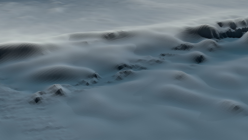
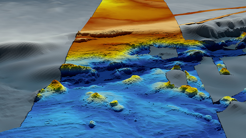
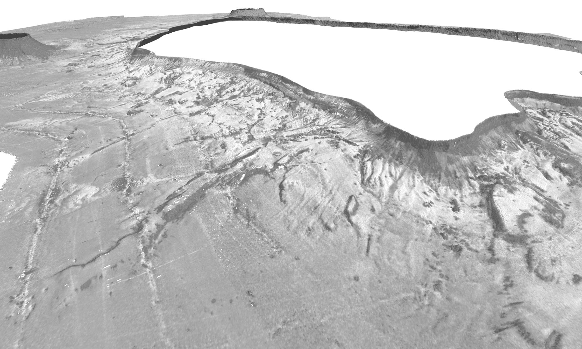
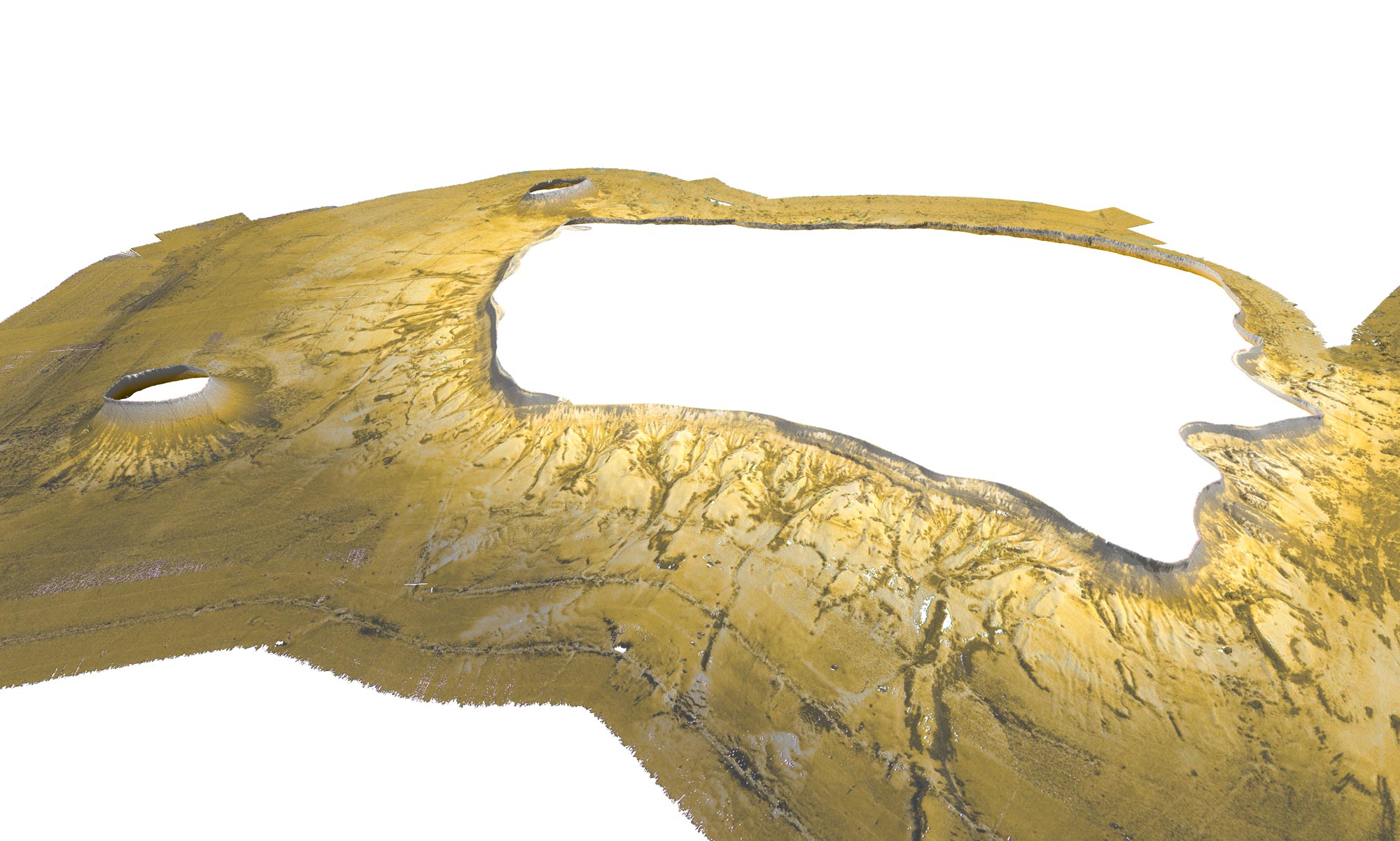
Before and after! Different techniques of data capture provide different information detail. An area of seabed mapped using (L) satellite data, and (R) high-resolution multibeam data.
Emerging technologies
New technologies continue to expand how bathymetric information is collected.
Autonomous underwater vehicles (AUVs), remotely operated vehicles (ROVs), drones and advanced sonar systems are helping scientists map areas that were previously difficult to access. AI tools are increasingly used to plan surveys, pilot AUVs, and support data processing.
These technologies are improving the efficiency, resolution and coverage of seabed mapping around Australia and the world.
Collecting data is only the first step
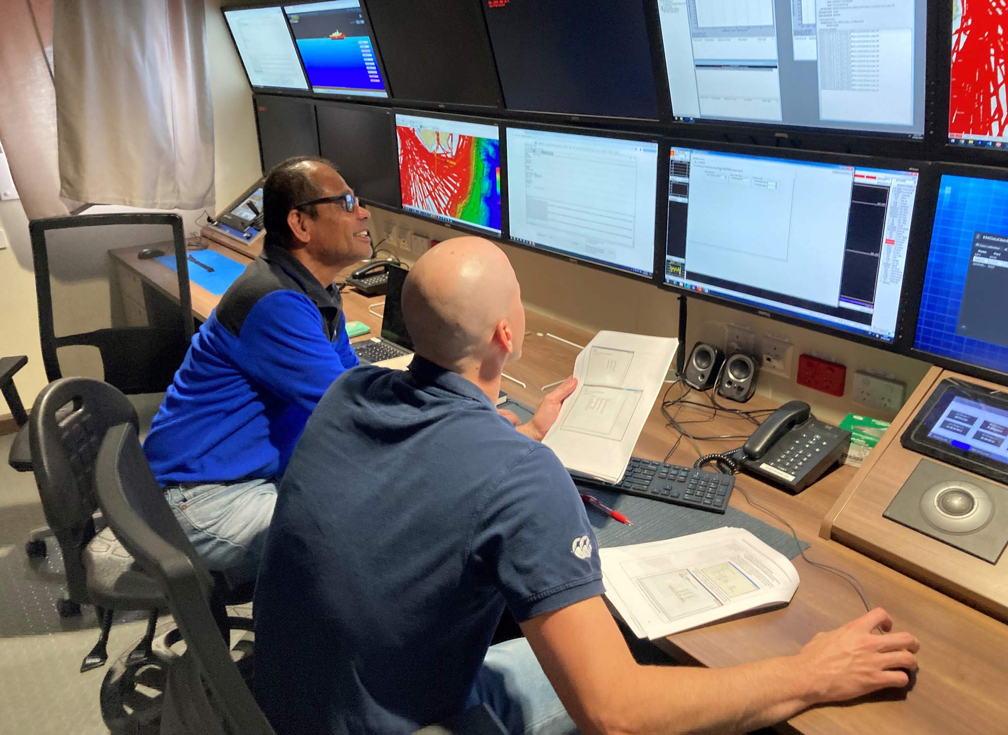
To produce an accurate representation of the seabed, collected data must be carefully processed and corrected for changing water conditions, vessel movement, tides, positioning accuracy and sensor errors. With modern multibeam systems collecting millions of soundings, producing reliable bathymetry requires specialised expertise, advanced software and rigorous quality control.
We’re helping build a complete picture
Geoscience Australia plays a key role in integrating these datasets into national bathymetry products and services. Through initiatives such as the AusSeabed collaborative initiative and data products such as our AusBathyTopo grid series, information collected by many organisations can be combined into a consistent national picture of Australia's marine and coastal landscape.
Learn more
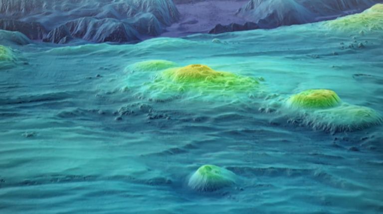
Explore how bathymetry and seabed mapping reveal the shape of Australia's marine world. This playlist showcases Geoscience Australia's work to map, understand and manage the seabed.
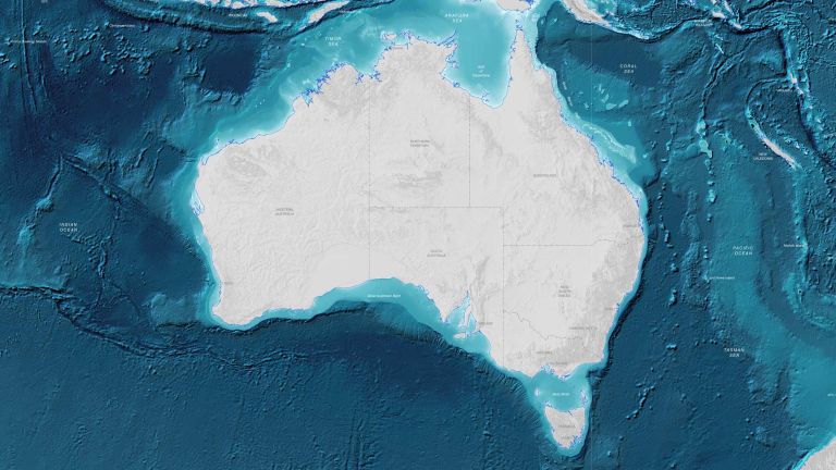
Understanding Australia's seabed is critical for managing our environment, economy and national security. Explore maps, data and scientific insights about Australia's marine environment.
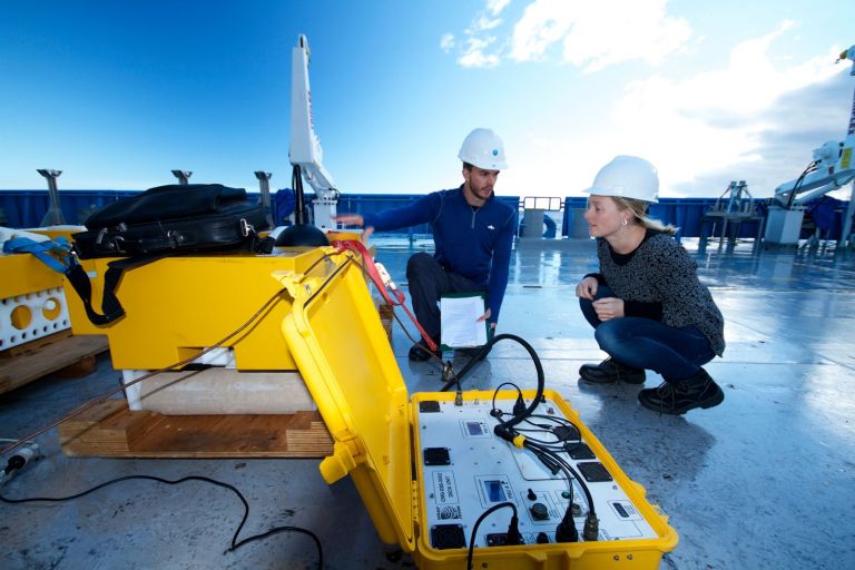
Sediment samples, imagery and geophysical measurements help scientists understand what the seabed is made of, how it formed and how marine environments change over time.