Knowledge article What is marine geomorphology?
Page last updated:27 August 2026
Marine geomorphology reveals the hidden landscapes of the ocean floor. By mapping and interpreting seabed features, scientists can understand how marine landscapes formed, how they have evolved and how they influence the environments around them.
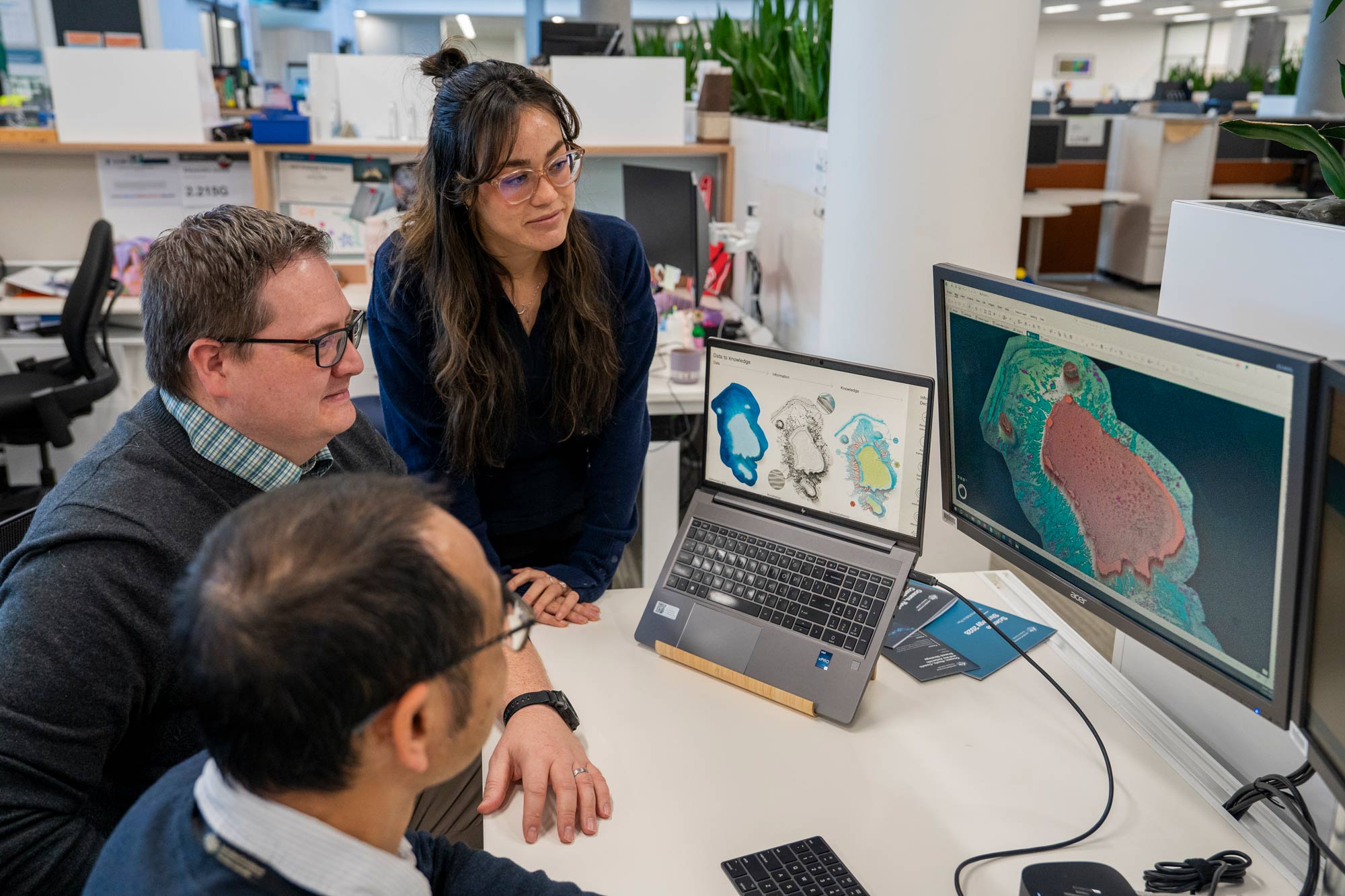
Finding meaning in the maps
The seabed is more than a collection of depths, contours and features. It is a landscape shaped by millions of years of geological, biological and oceanographic processes. Understanding it requires more than mapping — it requires interpretation.
Geomorphology is the science of understanding the shape, origin and evolution of landscapes over time. In the marine environment, it helps scientists move beyond describing what the seabed looks like to revealing how marine features formed, how they function, and what they can tell us about past and present environmental conditions.
This knowledge has broad applications across marine park planning, offshore energy, environmental assessment and research.
Marine geomorphology combines information about seabed shape, geology, sediments and environmental processes to uncover how marine landscapes form and evolve.
From shape to meaning
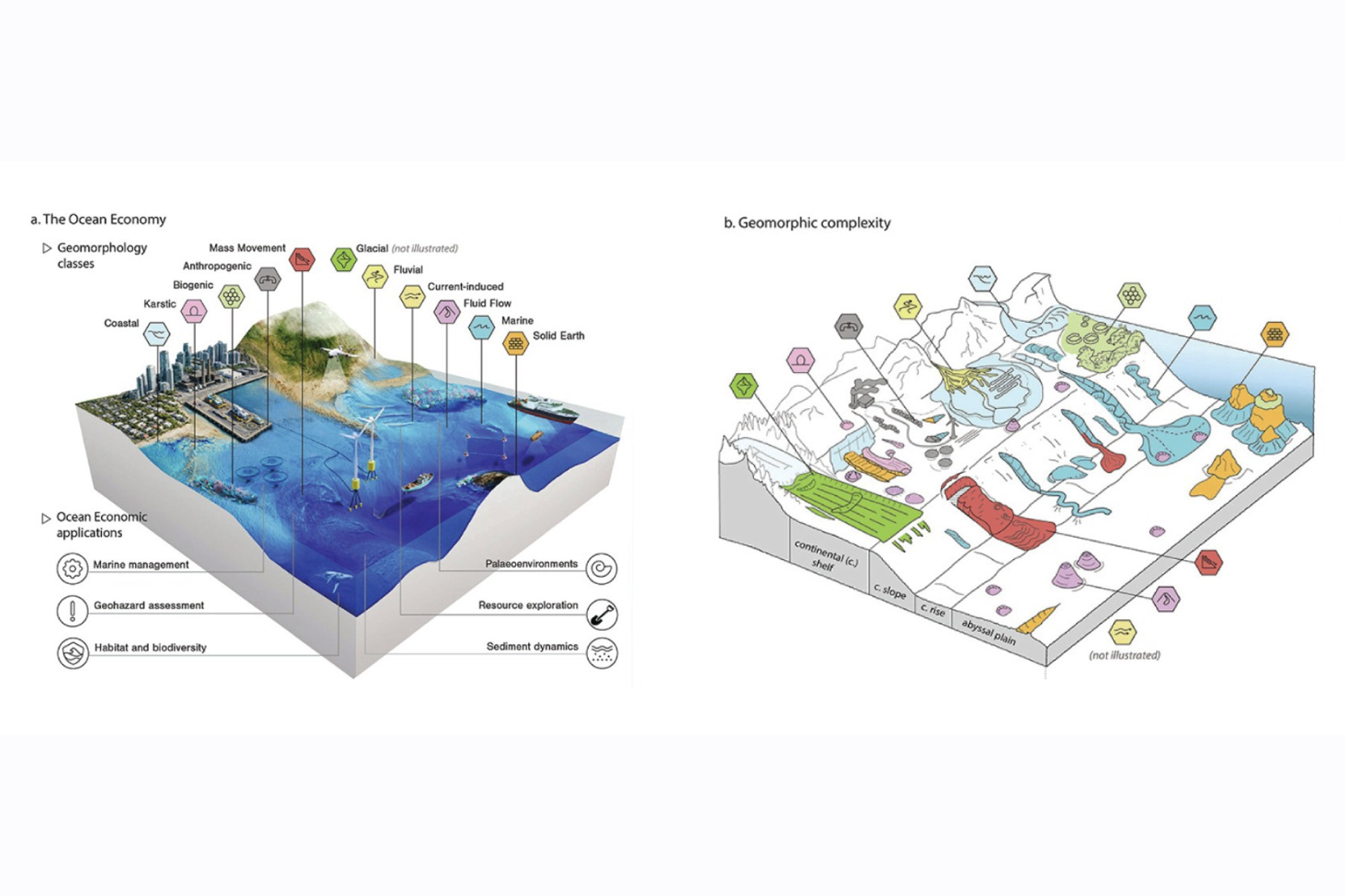
Bathymetry reveals the depth and shape of the seabed, helping scientists map underwater mountains, valleys, reefs, canyons and other features based on their physical form. This is known as morphology.
Geomorphology goes a step further. It combines information about shape, composition and characteristics to reveal what a feature is, the processes involved in its formation, and what it may tell us about the marine environment.
Reading the landscape
Features of the seabed tell subtle stories.
A ridge is not always a ridge. What appears to be an ancient dune may be a migrating sandbank. An apparent rocky reef may be a structure built by microorganisms. Seabed stability can shift over time.
Our scientists collect a trove of seabed information through surveys, measurements of water depth, and analysis of sediments, geology, imagery and other seabed characteristics. When these different layers of information are brought together through geomorphological study, a clearer view of the marine landscape emerges.
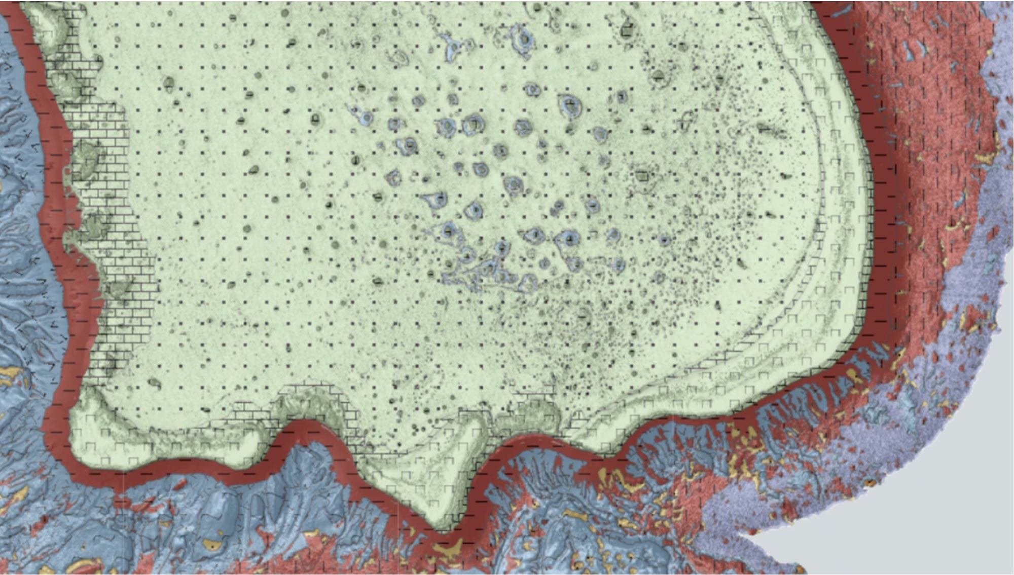
A new framework developed by Geoscience Australia and the International Seabed Geomorphology Mapping Working Group helps identify and consistently classify the different features of this seamount at Flinders Reef in Queensland's Coral Sea Marine Park.
A common language for seabed features
Around the world, marine features have historically been described in different ways, making it difficult to compare information across projects, regions and jurisdictions.
To address this challenge, Geoscience Australia works with international partners through the International Seabed Geomorphology Mapping Working Group (ISGM) to develop common approaches to mapping, classifying and interpreting marine landscapes.
This work provides a shared language for describing seabed features and their origins — allowing marine scientists, planners, managers and decision-makers to work from a consistent evidence base and compare information across Australia's marine estate and around the world.
Tools for interpreting seabed features
Geoscience Australia contributes to a suite of internationally recognised geomorphology tools and resources, including:
- Marine geomorphology classification frameworks
- Morphology and geomorphology vocabularies
- Semi-automated mapping tools
- Geomorphology classifiers
- Ocean Best Practice guidance and standards.
Together, these resources support consistent mapping and interpretation across organisations and regions.
A landscape we can read
As seabed mapping expands, geomorphology helps turn newly revealed features into knowledge about Australia's underwater landscapes — their origins, evolution and connections to the environments around them.
Related resources
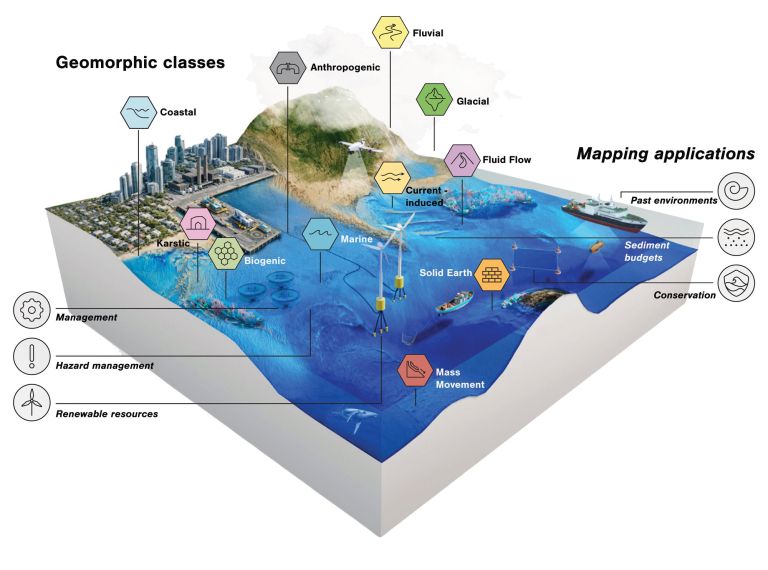
An international framework for classifying and interpreting marine landscapes. Access shared terminology, digital vocabularies and mapping tools that support consistent geomorphology mapping from the coast to the deep ocean.
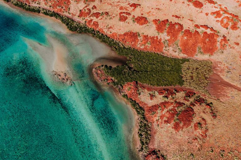
The landmark Resourcing Australia’s Prosperity initiative is an ambitious endeavour. It will use innovative data, research and analysis to assess national potential for a broad suite of the resources critical to the net zero transition, supporting a strong resources and energy sector.
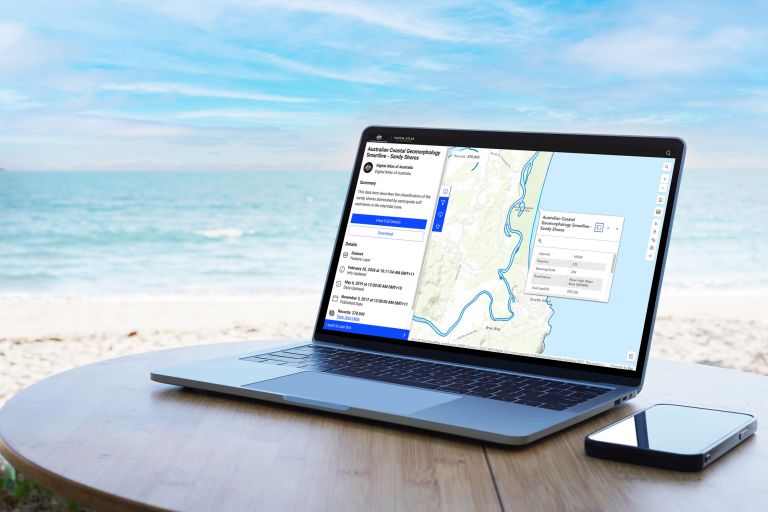
Geoscience Australia's Australian Coastal Geomorphology datasets classify coastal landforms using a nationally consistent framework developed to support coastal risk assessment and understanding of environmental change.