Our insights at work Marine and coastal showcase
Page last updated:27 August 2026
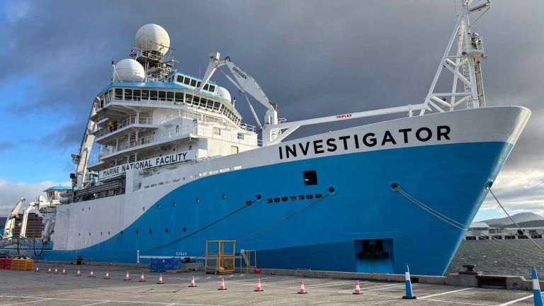
Geoscience Australia is participating in a voyage aboard the CSIRO research vessel (RV) Investigator between Hobart and Brisbane from 16 to 22 July to collect new seabed mapping data and improve the quality of Australia’s national seabed mapping coverage.
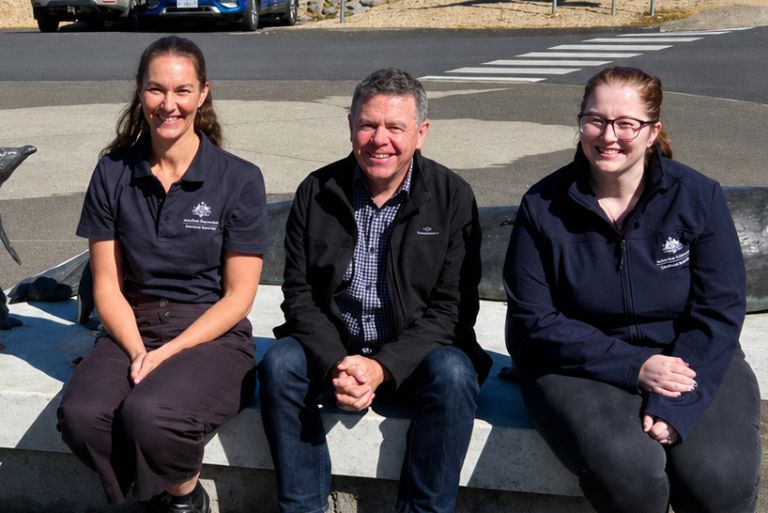
Through a series of roadshows and seminars around the country, the Geoscience Australia team is promoting a simple message: to better manage and protect our marine environment, a national approach to seabed science is essential.

Geoscience Australia transforms complex Antarctic bathymetry data into trusted seabed information for mapping, navigation and scientific research — building geospatial careers in the process.
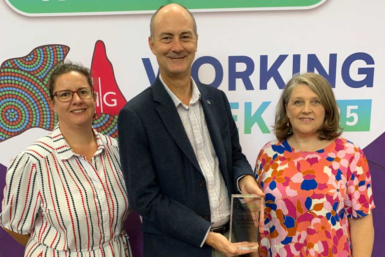
The AusSeabed Survey Coordination Tool is attracting growing recognition as a practical solution to one of marine mapping's enduring challenges: coordinating survey activity across a vast and busy marine estate.
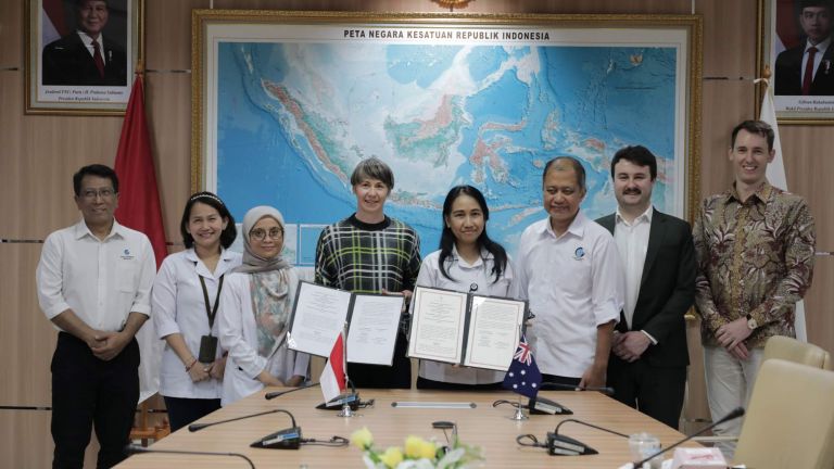
Australia and Indonesia work together to grow marine data capacity
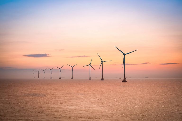
We're strengthening Australia's growing offshore renewable energy sector with two projects to map, characterise and standardise seabed information and data collection under the Renewables Environmental Research Initiative (RERI).

As Australia shivers in the winter, it’s a good time to look back over a successful summer of Earth science in the Antarctic.
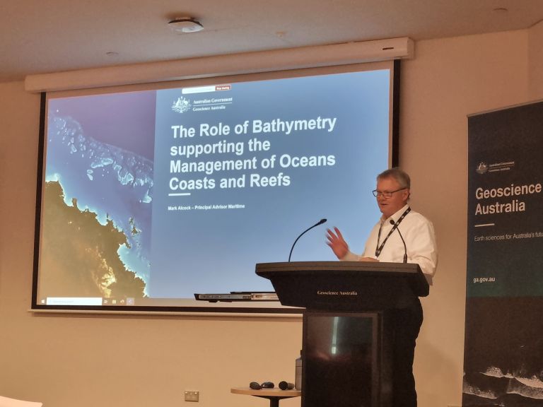
Geoscience Australia Principal Advisor Maritime Mark Alcock has been awarded a Public Service Medal (PSM) for his service to the community through international leadership in maritime affairs.
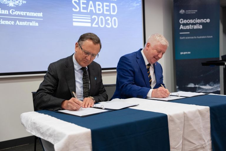
Geoscience Australia is contributing to global action on seabed mapping by signing a Memorandum of Understanding with The Nippon Foundation-GEBCO Seabed 2030; the first Australian Government organisation to do so.
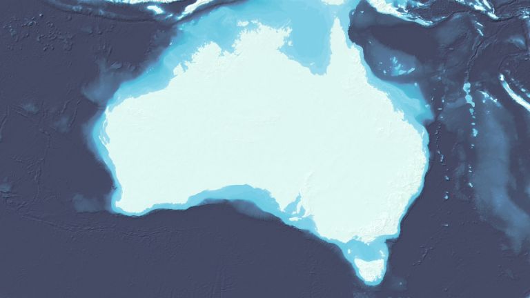
More than 1,500 individual seabed surveys have been combined to give sectors such as marine park management and offshore renewable industries - as well as storm surge modellers - a more comprehensive snapshot of what lies at the bottom of our oceans.
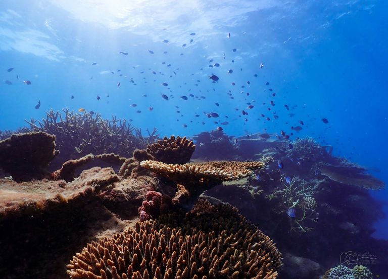
Deloitte Access Economics has found seabed mapping data directly contributed $9 billion to the Australian economy and employed over 56,000 FTEs in 2018-19.
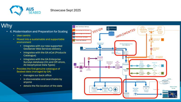
AusSeabed is Australia’s national collaborative seabed mapping program. Public AusSeabed showcase events are held and recorded throughout the year. sharing expertise and insights from across the marine science community.
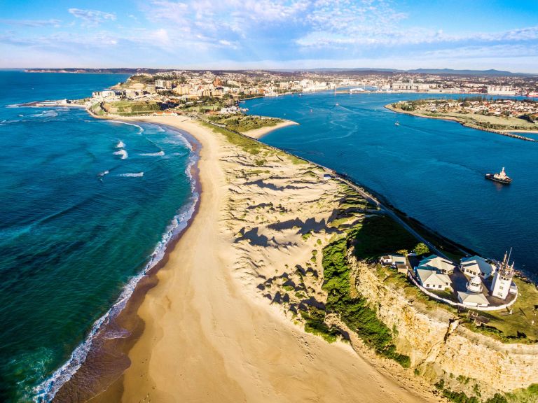
Developing a national method to support better coastal erosion decision making across Australia.
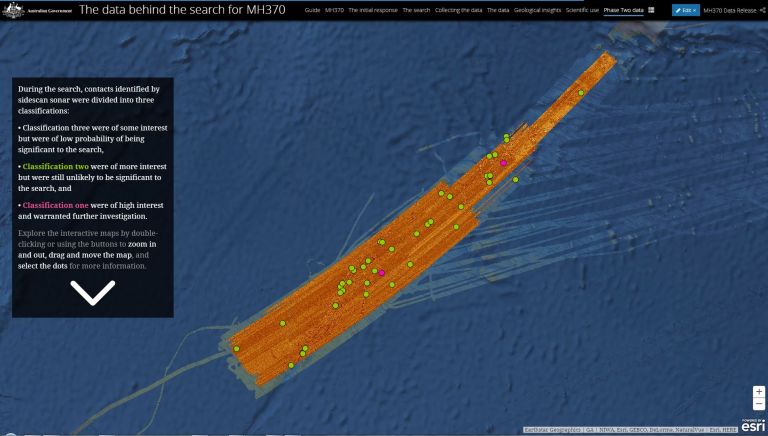
The search for MH370 involved the collection and analysis of large volumes of marine data from a remote area. The data obtained during the Phase One and Two of sea floor mapping is now available to the public.