Knowledge article How large is Australia? Areas of states, territories and deserts
Page last updated:4 November 2026
Australia covers 7.69 million square kilometres, including its mainland and territories. This page provides areas for Australia's states and territories as well as Australia's largest mainland and Antarctic deserts.
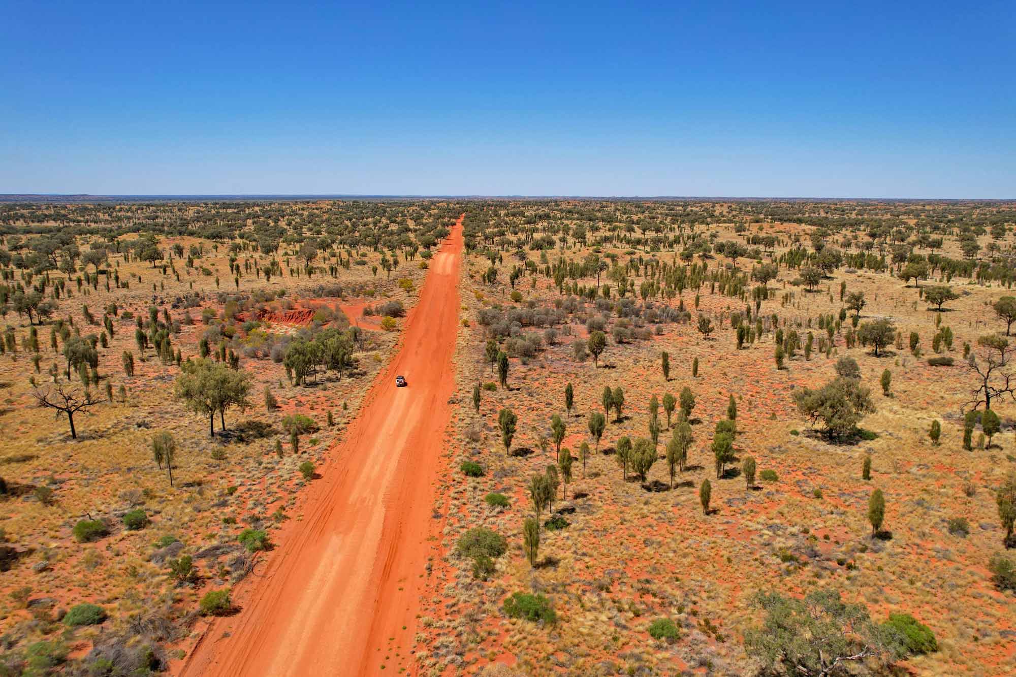
How large are Australia's states and territories?
Australia is the world's sixth-largest country, after Russia, Canada, China, the USA and Brazil.
Australia's total area is 7,688,287 square kilometres. This includes the Australian mainland, thousands of small fringing islands and numerous larger islands. Together, Australia's islands cover an area about half the size of Tasmania.
| State or territory | % | Mainland area (km2) | Island area (km2) | Total area (km2) |
|---|---|---|---|---|
| Western Australia (WA) | 32.9 | 2,523,924 | 3,089 | 2,527,013 |
| Queensland (QLD) | 22.5 | 1,723,030 | 6,712 | 1,729,742 |
| Northern Territory (NT) | 17.5 | 1,334,404 | 13,387 | 1,347,791 |
| South Australia (SA) | 12.8 | 979,651 | 4,670 | 984,321 |
| New South Wales (NSW) | 10.4 | 801,137 | 13 | 801,150 |
| Victoria (VIC) | 3.0 | 227,038 | 406 | 227,444 |
| Tasmania (TAS) | 0.9 | 64,519 | 3,882 | 68,401 |
| Australian Capital Territory (ACT) | < 1 | 2,358 | — | 2,358 |
| Jervis Bay Territory (*) | < 1 | 66 | 1 | 67 |
*The Jervis Bay Territory is a Commonwealth Territory, ceded by New South Wales in 1915 as a port for the Australian Capital Territory.
How do we calculate the area of Australia?
Calculations of Australia's area are based on coastline data from Geoscience Australia's GEODATA Coast 100K 2004, using the GDA_1994_Australia-Albers projection. The coastline data is nationally uniform, sourced primarily from the 1:100 000 scale National Topographic Map Series, and is the most authoritative data source currently available to calculate the area of Australia.
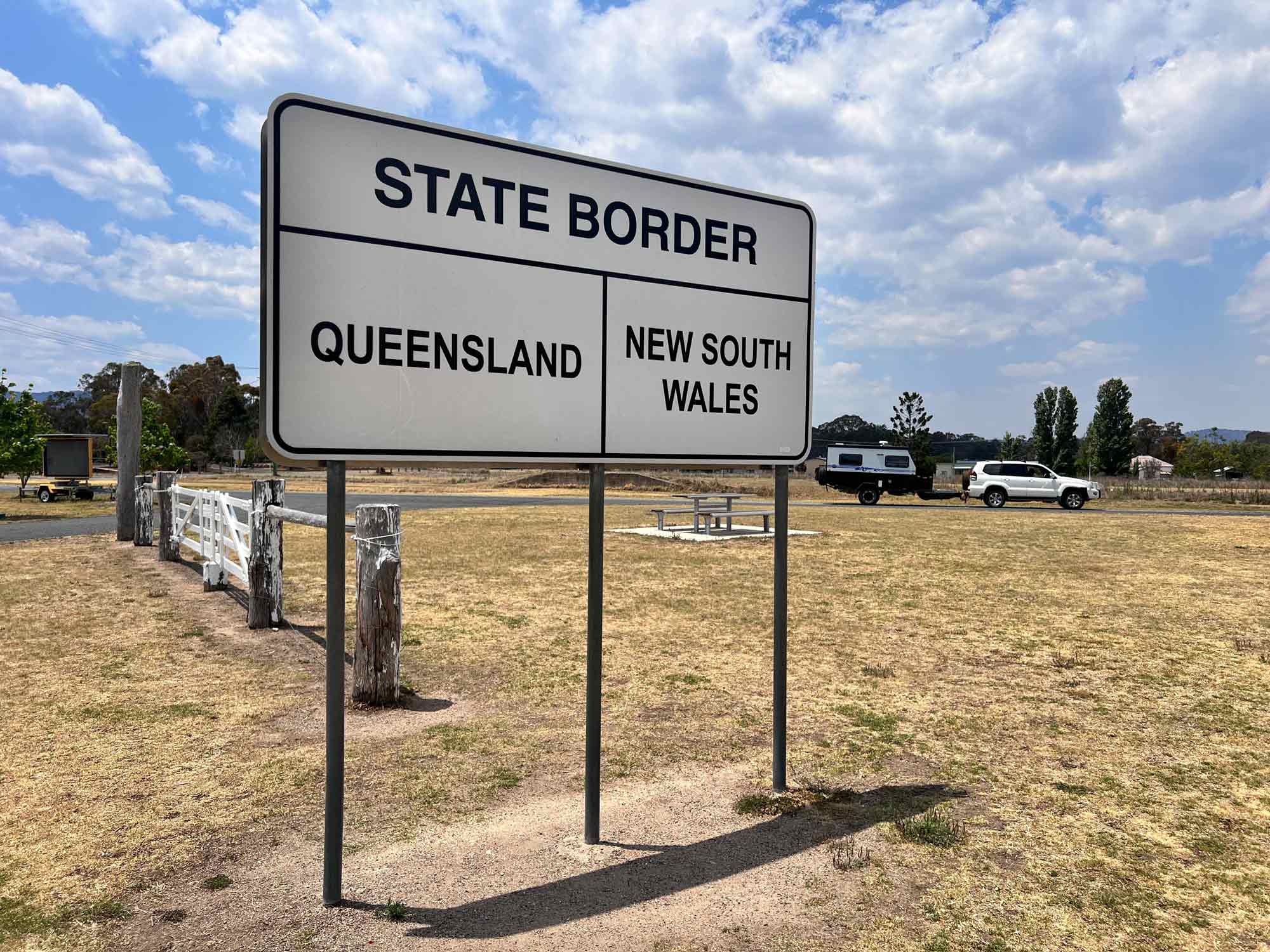
How large are Australia’s deserts?
Deserts are defined by their lack of rainfall.
According to the Köppen-Geiger climate classification, a desert is a region that receives less than 250 to 500 millimetres of precipitation annually.
Australia and its Antarctic territory contain different types of deserts, shaped by very different climates.
Australia’s mainland deserts are classified as arid, including desert and semi-arid environments. They receive precipitation as rain, with temperatures generally above 10°C and exceeding 35°C in summer.
Antarctica’s desert is classified as polar, with precipitation falling as snow and temperatures generally below 10°C, falling below −60°C in winter.
Approximate areas of Australia's 10 largest mainland deserts
| State or territory | Desert | Area (km2) | % of Australia |
|---|---|---|---|
| WA, SA | Great Victoria | 348,750 | 4.5 |
| WA | Great Sandy | 267,250 | 3.5 |
| WA, NT | Tanami | 184,500 | 2.4 |
| NT, QLD, SA | Simpson | 176,500 | 2.3 |
| WA | Gibson | 156,000 | 2.0 |
| WA | Little Sandy | 111,500 | 1.5 |
| SA, QLD, NSW | Strzelecki | 80,250 | 1.0 |
| SA, QLD, NSW | Sturt Stony | 29,750 | 0.3 |
| SA | Tirari | 15,250 | 0.2 |
| SA | Pedirka | 1,250 | less than 0.1 |
| Total | 1,371,000 | 18 |
Source: Geoscience Australia GEODATA TOPO-250K database
Australia's Antarctic desert
The total desert area of Australia’s Antarctic Territory (AAT) is 5,896,500 square kilometres.
This is:
- 42% of the entire Antarctic continent
- 76.7% of the size of the Australian continent.
About Geoscience Australia
Geoscience Australia delivers the trusted national geospatial and Earth science information that helps Australia understand, manage and plan for its land, resources, environment, infrastructure and resilience.
Discover more about Australia’s geography and people in the Digital Atlas of Australia, or return to the Australian Geography Knowledge Hub.
Discover more
From Australia's highest mountains and longest rivers to its largest lakes and highest cities and towns, get the facts about some of the country's most significant geographic features.
Australia's extreme geographic points mark the northernmost, southernmost, easternmost and westernmost limits of the country. Explore what makes each location distinctive.
Answers to common questions about Australia's coastlines, maritime jurisdiction, exclusive economic zone and marine geography.