Knowledge article Most extreme points of Australia
Page last updated:4 November 2026
Australia's extreme geographic points mark the northernmost, southernmost, easternmost and westernmost limits of the country. Explore where they are and what makes each location distinctive.
Australia is approximately 3,860 kilometres long from its most northerly point to its most southerly point in Tasmania, and is almost 4,000 kilometres wide, from east to west.
The latitude and longitude of Australia's continental extents:
| Extremity | Feature | Latitude | Longitude |
|---|---|---|---|
| North | Cape York, Queensland | 10° 41' 21" S | 142° 31' 50" E |
| South (Mainland) | South Point, Victoria | 39° 08' 20" S | 146° 22' 26" E |
| South | South East Cape, Tasmania | 43° 38' 40" S | 146° 49' 30" E |
| West | Steep Point, Western Australia | 26° 09' 5" S | 113° 09' 18" E |
| East | Cape Byron, New South Wales | 28° 38' 15" S | 153° 38' 14" E |
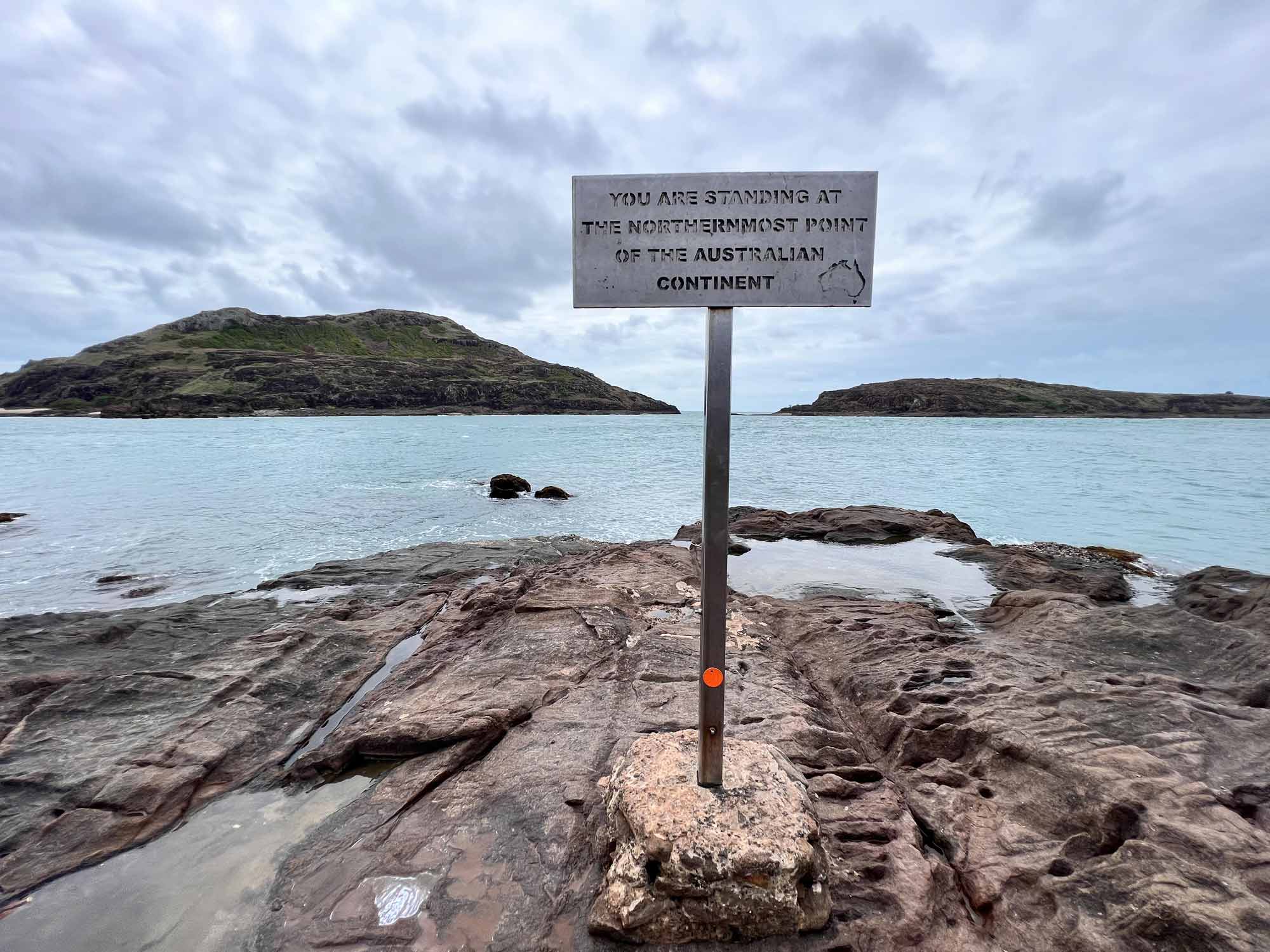
The Cape York marker is a famous yellow and black directional sign at ‘The Tip’ of the Cape York Peninsula in Queensland
What is Australia’s most northerly point?
Cape York, at the northern tip of Cape York Peninsula, is the most northerly point of the Australian mainland.
Located in far-north Queensland, Cape York Peninsula is a distinctive and relatively isolated landform, bounded by the Torres Strait to the north, the Coral Sea to the east and the Gulf of Carpentaria to the west.
The peninsula covers about 137,000 square kilometres and contains a diverse range of relatively undisturbed environments, from coastal areas and tropical rainforests to dry savannah woodlands. Its rugged terrain and remote location make the northernmost point of the Australian mainland a popular destination for four-wheel-drive and camping enthusiasts seeking to reach the ‘tip’.
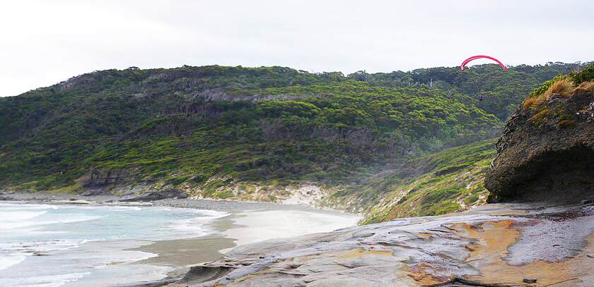
South East Cape is the southernmost point of the main island of Tasmania and marks the official dividing line between the Pacific and Indian Oceans
What is Australia’s most southerly point?
The most southerly point of Australia’s mainland is South Point at the tip of Wilsons Promontory National Park in Victoria.
The most southerly point of Australia — inclusive of Tasmania — is South East Cape.
It forms part of Tasmania's remote southern coastline. The area is exposed to extreme weather, with cold, wet southerly winds and rain falling on average every second day during summer and more frequently in other seasons.
South East Cape is part of Southwest National Park and the1.38 million hectare Tasmanian Wilderness World Heritage Area. It can be reached only by a walking track from nearby Cockle Creek, which is the most southerly point in Australia accessible by road.
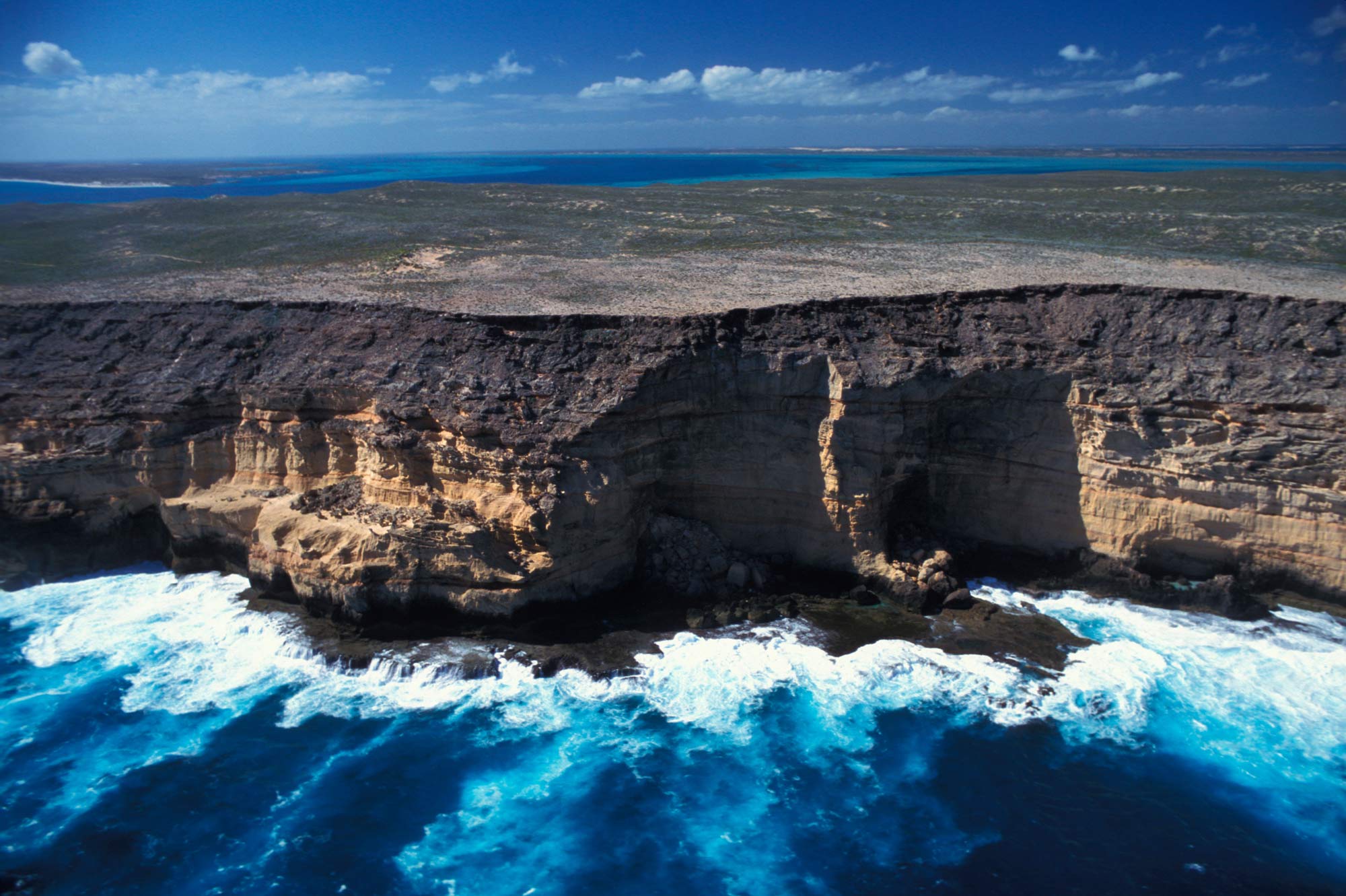
Zuytdorp Cliffs on the Western Australian Indian Ocean coast
What is Australia’s most westerly point?
Steep Point in Western Australia is Australia's most westerly point. Located near Dirk Hartog Island, it forms part of the western boundary of the Shark Bay World Heritage Area.
The area is known for the Zuytdorp Cliffs, which rise to 200 metres above sea level and extend for more than 200 kilometres from Kalbarri to Shark Bay, interrupted by small bays including False Entrance and Crayfish Bay.
The cliffs are named after the Dutch ship Zuytdorp, which was wrecked on the rugged coast in 1712 and remains on the seabed nearby. Steep Point was first named ‘Steyle Hock’ (‘Steep Point’) by Willem de Vlamingh in 1697. It was also called Point Escarpee by Louis Claude de Freycinet in 1801 before being anglicised as Steep Point by Phillip Parker King in 1822.
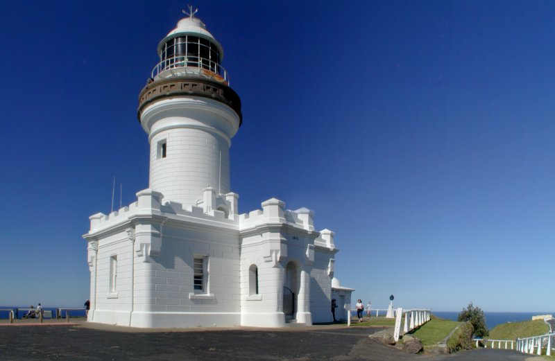
Cape Byron Lighthouse. Credit: Carl Gray
What is Australia’s most easterly point?
Cape Byron in northern New South Wales is Australia's most easterly point.
Located a few kilometres east of Byron Bay, the headland was named by Captain James Cook on 15 May 1770 after fellow navigator John Byron, grandfather of the poet Lord Byron.
Cape Byron is also known for its lighthouse and lighthouse keeper's cottage. Built in 1901, the lighthouse stands 22 metres high and sits 94 metres above sea level on the crest of the headland. Its light is one of the most powerful in the southern hemisphere.
About Geoscience Australia
Geoscience Australia delivers the trusted national geospatial and Earth science information that helps Australia understand, manage and plan for its land, resources, environment, infrastructure and resilience.
Discover more about Australia’s geography and people in the Digital Atlas of Australia, or return to the Australian Geography Knowledge Hub.
Discover more
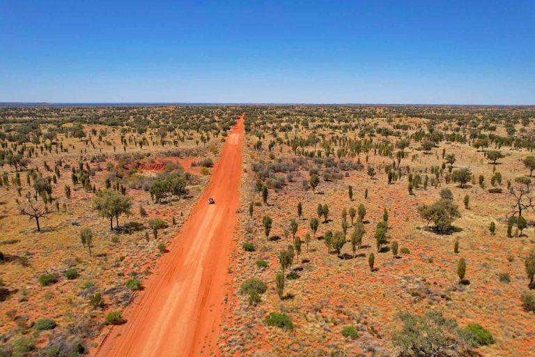
Australia's vast area includes its mainland and territories. Find the areas of Australia's states and territories as well as our largest mainland and Antarctic deserts.
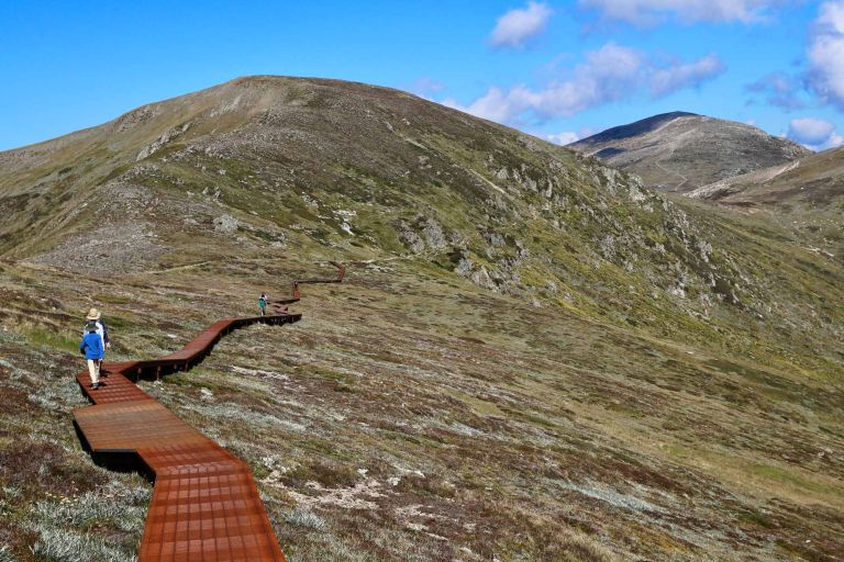
From Australia's highest mountains and longest rivers to its largest lakes and highest cities and towns, get the facts about some of the country's most significant geographic features.
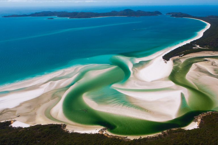
Answers to common questions about Australia's coastlines, maritime jurisdiction, exclusive economic zone and marine geography.