Knowledge article How long is Australia's coastline — and other FAQs
Page last updated:27 August 2026
Answers to common questions about Australia's coastlines, maritime jurisdiction, exclusive economic zone and marine geography.
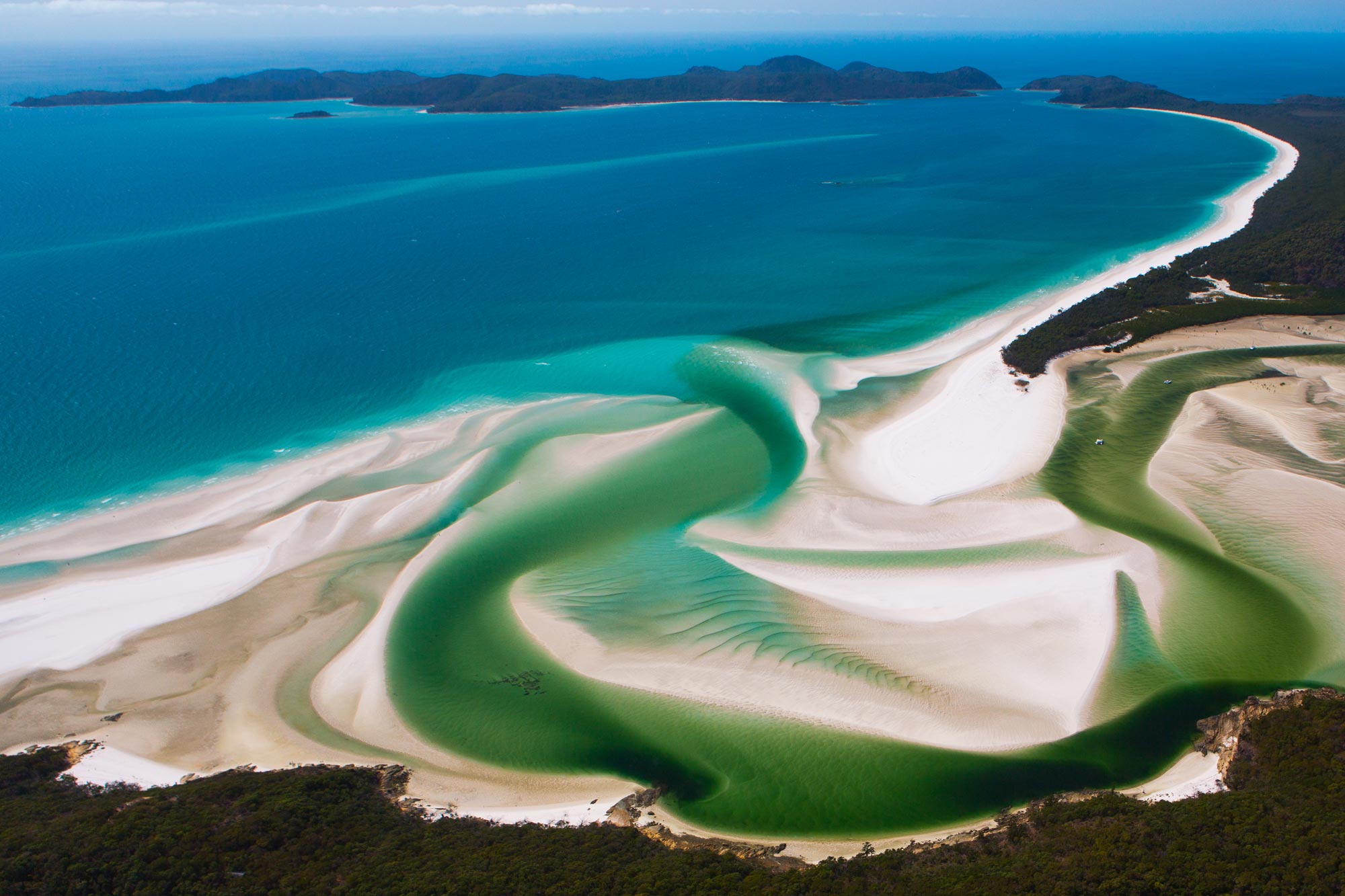
Australia's marine and coastal environments are among the largest and most complex in the world. Understanding them depends on trusted geographic information, continually improved through advances in Earth science, surveying, satellite observations and geospatial technology.
As Australia's national Earth science agency, Geoscience Australia maintains authoritative information about the nation's land, sea, seabed and coastlines.
Q. How long is Australia's coastline?
There isn't a single definitive answer to this question — the answer depends on the scale and level of detail to which the coastline is mapped.
For instance, a coastline measured from a national-scale map will be shorter than one measured from a highly detailed map that captures all the complexity of a coastline with its many bays, headlands, estuaries, beaches, inlets, islands and rocky features.
This is often referred to as the ‘coastline paradox’; the more detail used in the measurement, the more coastline complexity is included, and the longer the measured coastline becomes.
Modern geospatial science shows that coastlines can be measured accurately, but that different methods and definitions produce different, equally valid answers for different applications.
For example, at a scale of 1:100,000 Australia’s coastline is approximately 34,000 kilometres (excluding small offshore islands) and includes more than 1,000 estuaries.
Whereas, using the best available data for each location, Geoscience Australia’s latest estimate is that Australia’s coastline is in the vicinity of 200,000 kilometres in length.
Parts of Australia's coastline are dynamic — particularly its beaches and estuaries. However, many of the coastal features that contribute to Australia’s maritime zones, such as rocky headlands and islands, are highly stable.
At Geoscience Australia, we continue to improve Australia's understanding of its coast through advances in Earth observation, coastal mapping, elevation modelling and geospatial science. This work provides the authoritative information needed to support maritime boundaries, environmental management, infrastructure planning, coastal resilience and climate adaptation.
Learn more about Geoscience Australia's coastal expertise
Q. How large is Australia’s maritime jurisdiction?
Australia's maritime jurisdiction covers more than 13.86 million square kilometres of ocean and seabed — around 1.5 times our landmass (excluding the Australian Antarctic Territory and adjacent maritime jurisdiction).
It is one of the largest maritime jurisdictions in the world, extending across the Indian, Pacific and Southern Oceans and including waters surrounding Australia's external territories and the Australian Antarctic Territory.
Learn more: What is Australia’s maritime jurisdiction?
Q. How large is Australia’s exclusive economic zone (EEZ)?
Australia's exclusive economic zone (EEZ) covers more than 10 million square kilometres of ocean, extending up to 200 nautical miles from the territorial sea baseline in most areas.
The EEZ is one part of Australia's broader maritime jurisdiction, which is made up of several maritime zones with different legal rights and responsibilities.
Within the EEZ, Australia has sovereign rights to explore, exploit, conserve and manage living and non-living natural resources in the water column, seabed and subsoil.
Australia also has jurisdiction over artificial islands, installations and structures, marine scientific research, and the protection and preservation of the marine environment.
Learn more: What is Australia’s maritime jurisdiction?
Q. What is the Southern Ocean?
Australia defines the Southern Ocean as extending from the southern coastline of mainland Australia all the way south to Antarctica, including Heard and McDonald Island in the west and Macquarie Island in the east.
The Australian definition dates back to the foundational documents establishing the Province of South Australia, fixing the boundary on the south as the Southern Ocean. It reflects the international definition of the Southern Ocean at that time, and subsequent long-standing historic usage on maps, nautical charts, and official documents.
Australia’s official definition of the Southern Ocean was agreed by the Interdepartmental Committee of Surveying and Mapping under ICSM Resolution R00/11/06, Limits of Oceans and Seas and Offshore Undersea Features (April 2001), with representatives from the Commonwealth, State and Territory governments.
Internationally, the northern limit of the Southern Ocean has been debated since 1928 when the International Hydrographic Organisation (IHO) first sought agreement on the boundaries of the world's oceans and seas. In the third edition of the IHO’s Names and Limits of the Oceans and Seas, published in 1953, countries were advised to determine their own northern boundary of the Southern Ocean. Australia uses the ICSM definition for all official Australian maps and charts.
For more information, see the fact sheet published by the Australian Hydrographic Office on the Limits of Oceans and Seas Around Australia.
Learn more

Explore the concepts, calculations and legal frameworks that define Australia's rights and responsibilities at sea.
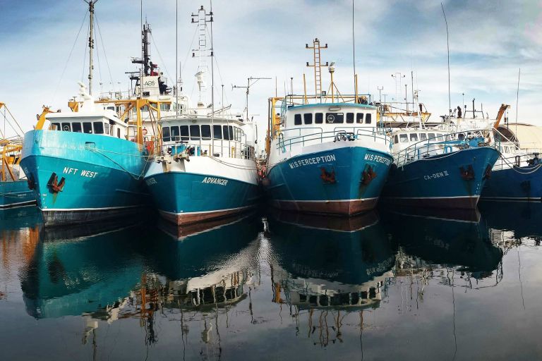
Australia's maritime zones define where different rights, responsibilities and obligations apply across Australia's maritime jurisdiction.
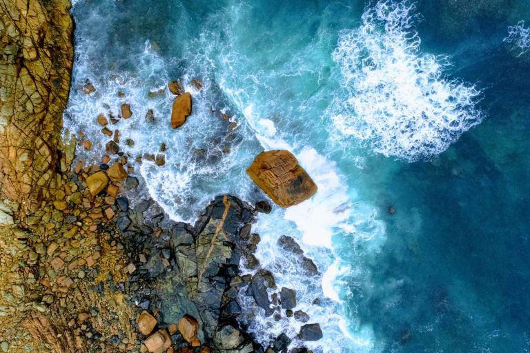
Geoscience Australia provides the geospatial and scientific insights that help shape Australia’s marine and coastal future. Explore data, maps and tools for understanding our seabed, coasts, maritime jurisdiction and Antarctica.