Knowledge article Australia’s largest, longest and highest features
Page last updated:4 November 2026
From Australia's highest mountains and longest rivers to its largest lakes and highest cities and towns, explore some of the country's most significant geographic features.
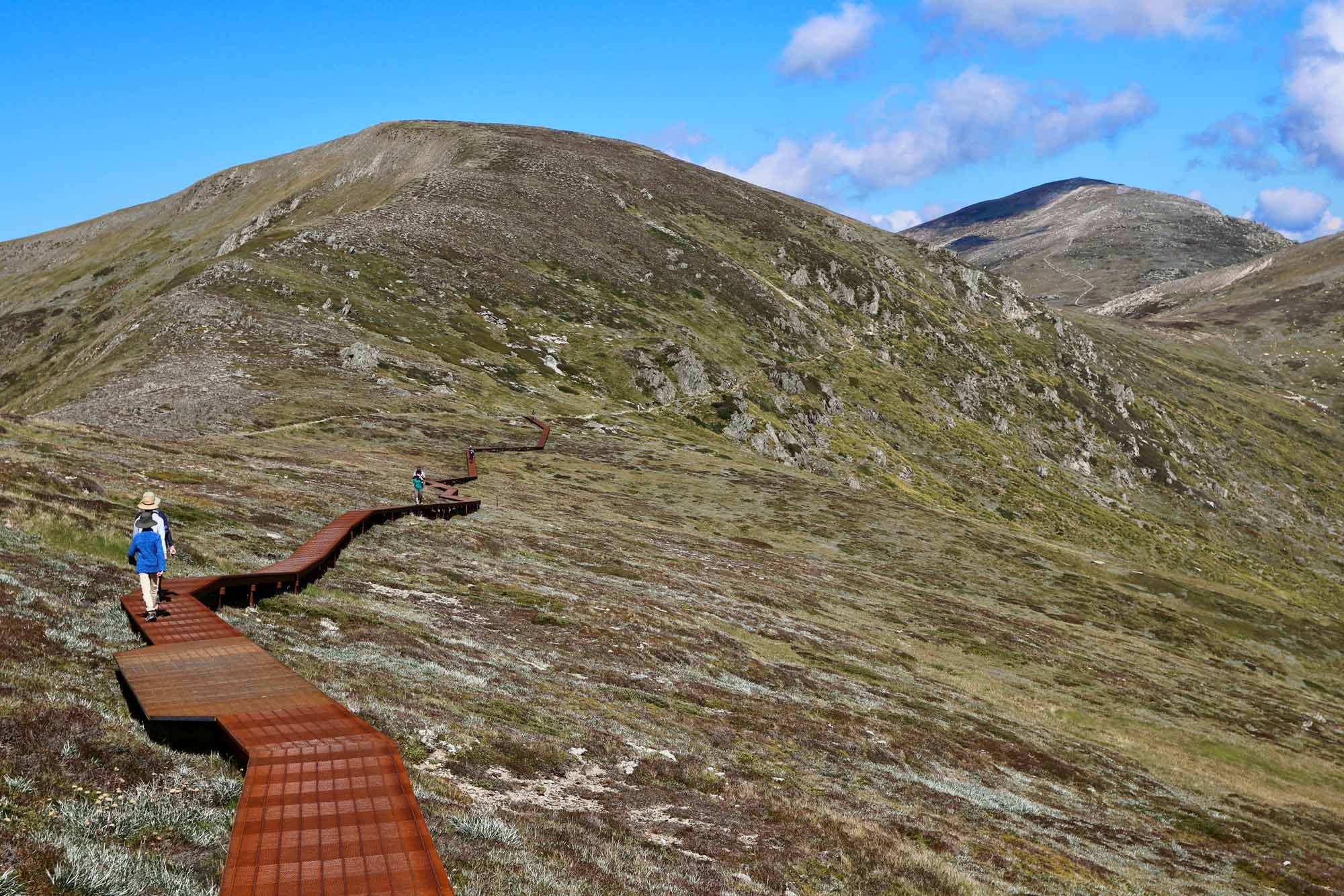
Spectacular hiking on Mount Kosciuszko in the NSW Snowy Mountains
Australia’s highest points
Australia’s highest mountain on the mainland is Mount Kosciuszko, which rises to 2,228 metres above sea level. The world's highest mountain, Mount Everest, is 8,848 metres above sea level, almost four times the height of Mount Kosciuszko.
The highest mountains on the Australian mainland are clustered in the Snowy Mountains region of New South Wales and the Victorian Alps. These ranges form part of the Great Dividing Range, which separates the central lowlands from the eastern highlands.
| Mountain | Height (m) |
|---|---|
| Mount Kosciuszko | 2,228 |
| Mount Townsend | 2,209 |
| Mount Twynam | 2,195 |
| Rams Head | 2,190 |
| Unnamed peak on Etheridge Ridge | 2,180 |
| Rams Head North | 2,177 |
| Alice Rawson Peak | 2,160 |
| Unnamed peak south-west of Abbott Peak | 2,159 |
| Abbott Peak and Carruthers Peak | 2,145 |
| Mt Northcote | 2,131 |
Good to know: There is always some debate about what should and should not be included in a list of the highest mountains. Some peaks have local names that are not widely recognised, while others may be considered part of a ridge rather than separate mountains. This list represents Geoscience Australia’s latest evidence-based assessment.
Source: Geoscience Australia National Geodetic database 1993, combined with the National Gazetteer of Australia.
| State or territory | Mountain | Height (m) |
|---|---|---|
| New South Wales | Mt Kosciuszko | 2,228 |
| Victoria | Mt Bogong | 1,986 |
| Australian Capital Territory | Bimberi Peak | 1,912 |
| Tasmania | Mt Ossa | 1,617 |
| Queensland | Bartle Frere (South Peak) | 1,611 |
| Northern Territory | Mt Zeil | 1,531 |
| South Australia | Mt Woodroffe | 1,435 |
| Western Australia | Mt Meharry | 1,253 |
Source: Geoscience Australia National Geodetic database, 1993.
The highest point on Australian territory is in the Australian Antarctic Territory.
- Mt McClintock, in the eastern sector of the territory, is 3,490 metres high.
- Mt Menzies, in the western sector, is 3,355 metres high.
Both are considerably higher than Mount Kosciuszko at 2,228 metres.
Elevations more than 4,000 metres also exist in the western sector of the Australian Antarctic Territory in the vicinity of 82E 56S. These are ice domes and are generally not considered mountains, although the definition is frequently debated.
Another point higher than Mount Kosciuszko is Mawson's Peak on Heard Island. It is 2,745 metres high and forms the summit of an active volcano called Big Ben.
The lowest point in Australia is Kati Thanda-Lake Eyre in South Australia at 15 metres below sea level.
How do we know? This information is based on Geoscience Australia’s GEODATA TOPO-250K dataset.
| State/Territory | City/Town name | Height (m) |
|---|---|---|
| New South Wales | Perisher Valley | 1,740 |
| Victoria | Hotham Heights | 1,700 |
| Tasmania | Reynolds Neck | 1,100 |
| Queensland | Ravenshoe | 930 |
| Western Australia | Tom Price | 750 |
| Northern Territory | Areyonga | 700 |
| South Australia | Amata | 700 |
| Australian Capital Territory | Canberra | 660 |
Australia's largest waterbodies
Australia has relatively few natural lakes that provide reliable supplies of water, so many rivers have been dammed to create reservoirs for water supply and power generation.
The sizes of the waterbodies listed on this page have been determined using Geoscience Australia’s GEODATA TOPO 2.5M data.
This table shows Australia’s largest waterbodies, whether natural or constructed.
| State or territory | Lake | Area (km2) |
|---|---|---|
| South Australia | Kati Thanda-Lake Eyre (salt) | 9,690 |
| Western Australia | Lake Mackay | 3,494 |
| Northern Territory | Lake Amadeus (salt) | 1,032 |
| New South Wales | Lake Garnpung | 542 |
| Tasmania | Lake Gordon | 272 |
| Queensland | Lake Dalrymple | 220 |
| Victoria | Lake Corangamite (salt) | 209 |
| Australian Capital Territory | Lake Burley Griffin | 7.2 |
The lakes in this table are held back by dams and are the largest waterbodies serving water and power supply needs.
| State or territory | Dam | Reservoir | Capacity (million m3) |
|---|---|---|---|
| Tasmania | Gordon | Lake Gordon | 12,450 |
| Western Australia | Ord River | Lake Argyle | 10,760 |
| New South Wales | Eucumbene | Lake Eucumbene | 4,798 |
| Victoria | Dartmouth | - | 4,000 |
| Queensland | Burdekin Falls | Lake Dalrymple | 1,860 |
| Northern Territory | Darwin River | - | 259 |
| Australian Capital Territory | Corin | - | 70.9 |
| South Australia | Mount Bold | Mount Bold | 45.9 |
Salt lakes are normally dry, appearing as glittering sheets of salt that stretch to the horizon. Kati Thanda-Lake Eyre filled only three times last century, and Lake Torrens only once.
| Salt lake | State | Size (km2) |
|---|---|---|
| Kati Thanda-Lake Eyre | South Australia | 9,690 |
| Lake Torrens | South Australia | 5,745 |
| Lake Gairdner | South Australia | 4,351 |
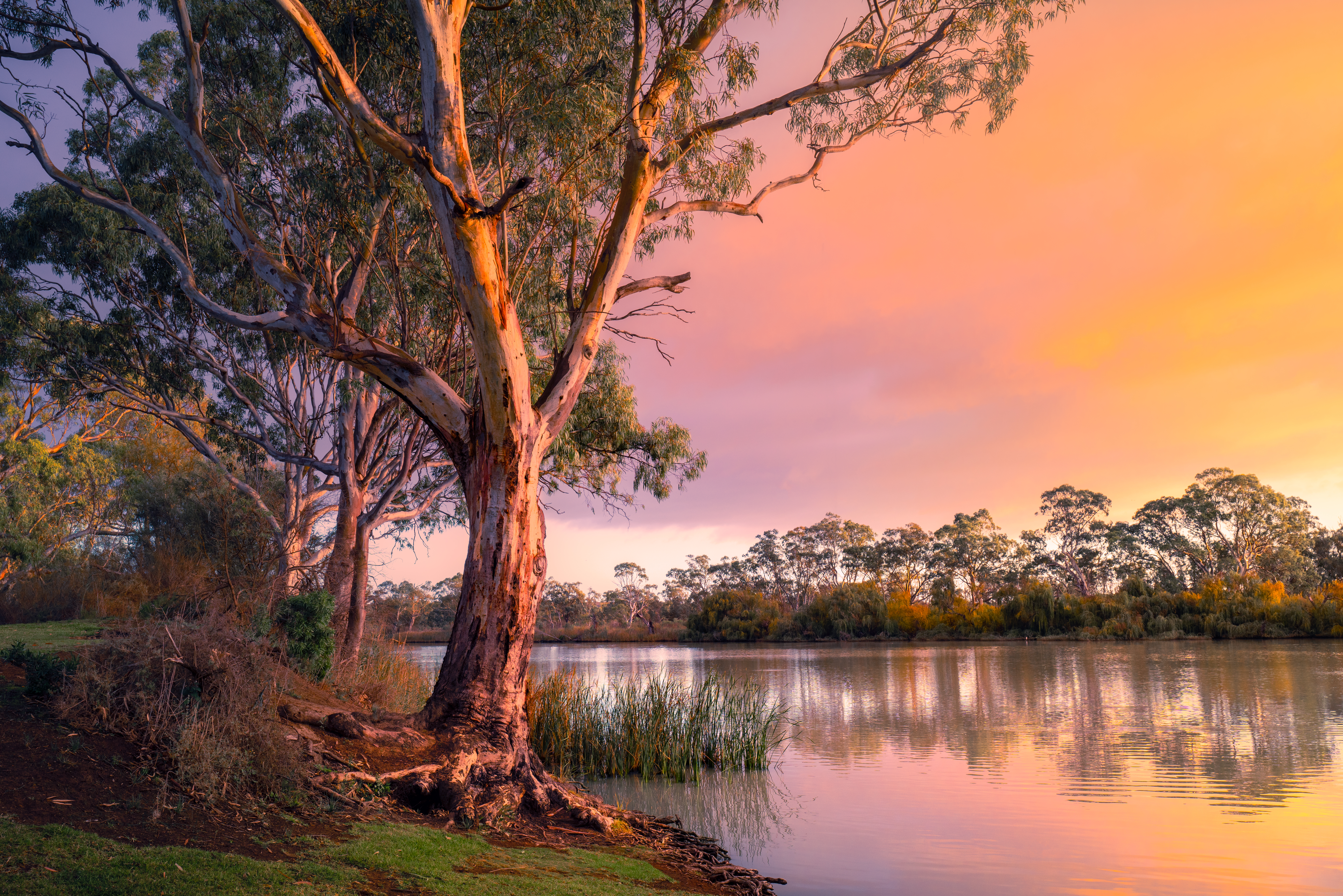
South Australia’s ‘Mighty Murray’ is Australia's longest single river
Australia's longest rivers
Measuring the length of a river is more complex than simply following its course on a map.
The result depends on how the river is defined and represented, the geographic data used, the scale and accuracy of that data, and which tributaries and named sections are included. Calculating river lengths therefore draws on surveying, topography, cartography, geospatial data and place-name information, with different approaches producing different results.
Geoscience Australia recalculated the lengths of Australia's 10 longest rivers in September 2008 using data from the GEODATA TOPO-250K database. These calculations confirmed that Australia's longest single river is the River Murray at 2,508 kilometres.
However, if the longest tributaries of the Darling River — the Culgoa, Balonne and Condamine — are taken into account, the total length of the Darling increases to 2,740 kilometres, making it Australia's longest waterway.
| River | State | Length (km), approximate |
|---|---|---|
| River Murray | NSW/SA | 2,508 |
| Darling River (from the River Murray to Culgoa River) | NSW | 1,545 |
| Murrumbidgee River | NSW/ACT | 1,485 |
| Lachlan River | NSW | 1,339 |
| Cooper Creek | Qld/SA | 1,113 |
| Flinders River | Qld | 1,004 |
| Diamantina River | Qld/SA | 941 |
Source: Geoscience Australia GEODATA TOPO-250K database
It is important to note that these lengths are still only approximations because they have been measured from a cartographic representation of the rivers, rather than the actual rivers.
| State or territory | Longest river | Length (km), approximate |
|---|---|---|
| New South Wales | River Murray | 1,808 |
| Queensland | Flinders River | 1,004 |
| Western Australia | Gascoyne River | 834 |
| South Australia | River Murray | 700 |
| Victoria | Goulburn River | 654 |
| Northern Territory | Victoria River | 510 |
| Tasmania | South Esk River | 245 |
| Australian Capital Territory | Murrumbidgee River | 59 |
Although the River Murray forms much of the border separating New South Wales and Victoria, it is not Victoria's longest river. This is because the New South Wales border is delineated by the river's southern bank rather than by the middle of the river.
The only section of the Murray considered within Victoria is a stretch of approximately 11 kilometres where it separates Victoria and South Australia. At this point, the middle of the river forms the border.
The Murray–Darling catchment contains Australia's longest continuous river system.
This is established by measuring downstream from the confluence of the River Murray and the Darling River, plus the Darling itself and some of the Darling's tributaries, to create an overall length of 3,672 kilometres.
With connected flow through Queensland, New South Wales and South Australia, this system drains a major portion of the interior lowlands of eastern Australia.
Its total length is just over half that of the Nile River in continental Africa, which at 6,695 kilometres is considered to be the world's longest river.
From its headwaters in Queensland to the River Murray mouth near Goolwa in South Australia, the Murray–Darling system has been measured using the following rivers:
| Rivers within the system | States through which they flow | Length (km) |
|---|---|---|
| Condamine/Balonne/Culgoa rivers | Qld/NSW | 1,195 |
| Darling River (between the Culgoa River and River Murray) | NSW | 1,545 |
| River Murray (downstream from the Darling River junction) | NSW/Vic/SA | 828 |
| Total length of system | Qld/NSW/Vic/SA | 3,672 |
Source: Geoscience Australia GEODATA TOPO-250K database
About Geoscience Australia
Geoscience Australia delivers the trusted national geospatial and Earth science information that helps Australia understand, manage and plan for its land, resources, environment, infrastructure and resilience.
Discover more about Australia’s geography and people in the Digital Atlas of Australia, or return to the Australian Geography Knowledge Hub.
Discover more
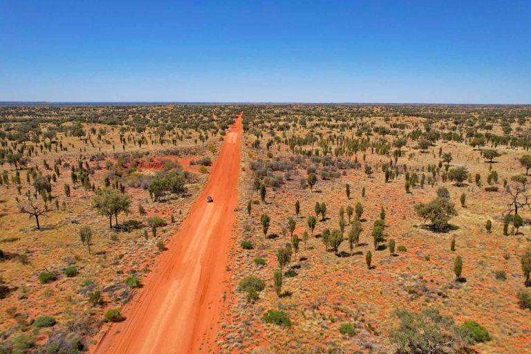
Australia's vast area includes its mainland and territories. Find the areas of Australia's states and territories as well as our largest mainland and Antarctic deserts.
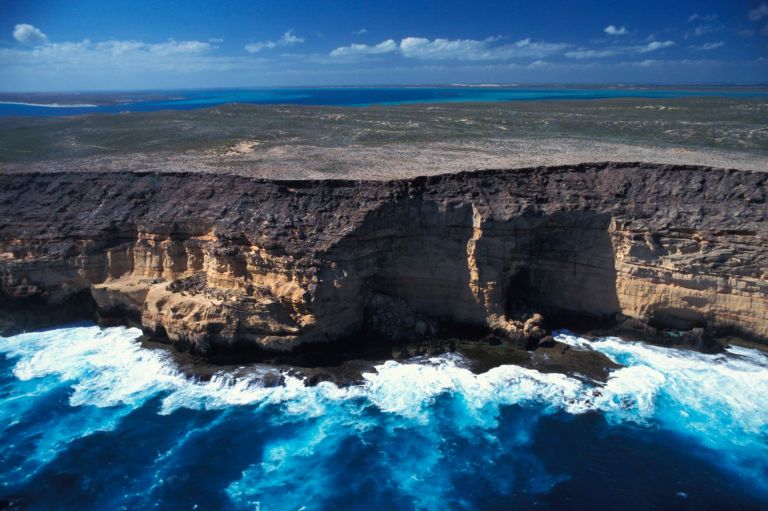
Australia's extreme geographic points mark the northernmost, southernmost, easternmost and westernmost limits of the country. Explore what makes each location distinctive.
Answers to common questions about Australia's coastlines, maritime jurisdiction, exclusive economic zone and marine geography.