Knowledge article Australian islands
Page last updated:4 November 2026
Australia is an island-rich continent, with thousands of islands ranging from small rocky outcrops to some of the country's largest and most remote landforms.
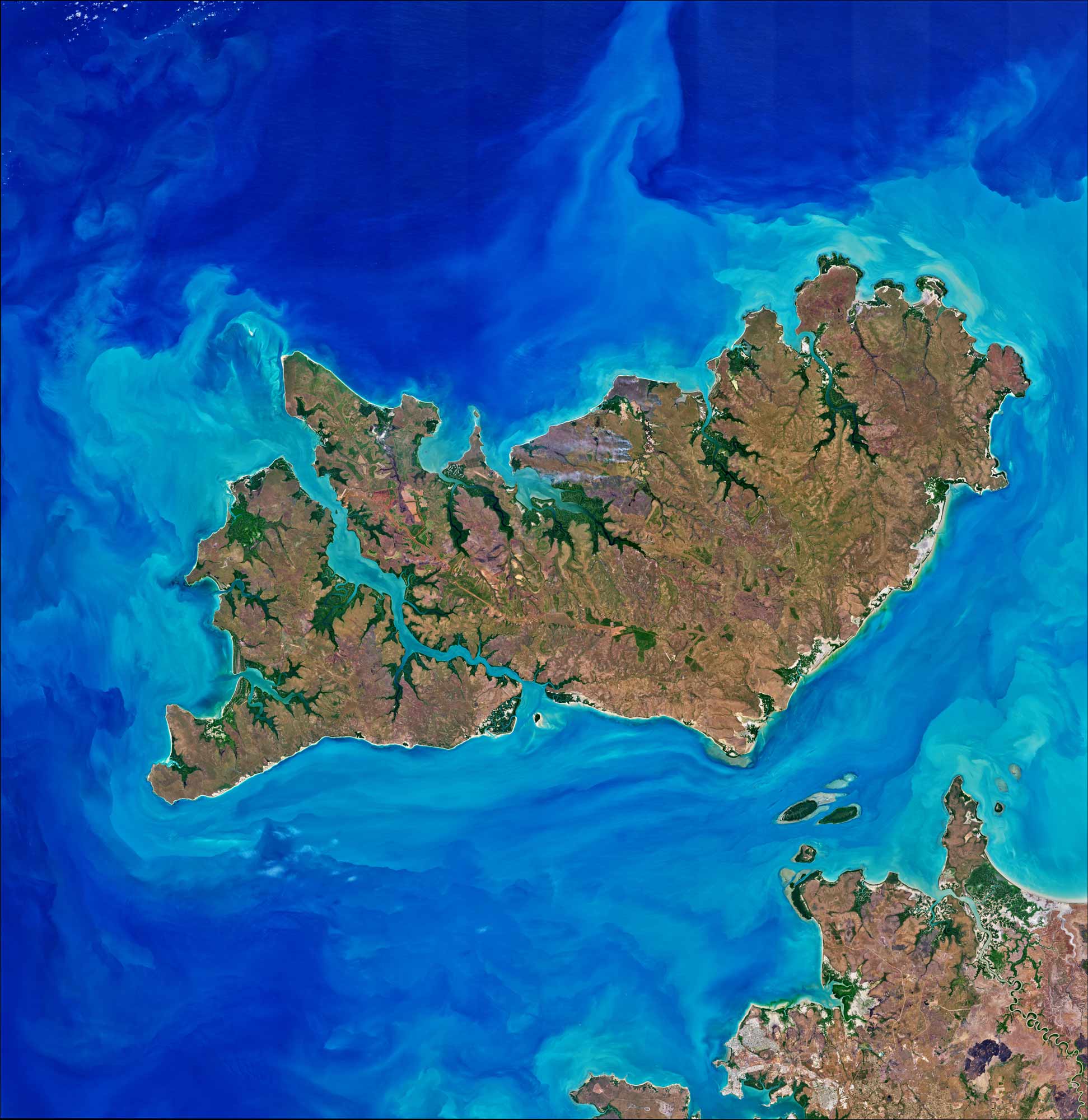
Satellite image of Melville Island (top right) with Bathurst Island (left) and the Australian mainland (bottom right), courtesy of NASA Earth Observatory images by Joshua Stevens, using Landsat data from the US Geological Survey.
Australia is more than a single landmass. It includes thousands of islands, ranging from small rocky outcrops to large islands with diverse landscapes and ecosystems.
These islands extend across the Pacific, Indian and Southern oceans and the Coral and Timor seas, and include islands close to the mainland and remote islands that form part of Australia's external territories.
What are Australia’s largest islands?
| State or territory | Name | Area (km2) |
|---|---|---|
| Northern Territory | Melville Island | 5,786 |
| South Australia | Kangaroo Island | 4,416 |
| Northern Territory | Groote Eylandt | 2,285 |
| Northern Territory | Bathurst Island | 1,693 |
| Queensland | K'gari | 1,653 |
| Tasmania | Flinders Island | 1,359 |
| Tasmania | King Island | 1,091 |
| Queensland | Mornington Island | 1,002 |
Calculations on Australia's coastline lengths are taken from Geoscience Australia's GEODATA Coast 100K 2004 database. The data is nationally uniform, is sourced primarily from the 1:100 000 scale National Topographic Map Series and is the most authoritative data currently available on the length of Australia's island coastlines.
Which parts of Australia have the most islands?
The number of islands varies considerably between Australia's states and territories, with most concentrated in Western Australia, Queensland and Tasmania.
| State or territory | Number of islands |
|---|---|
| Western Australia | 3,747 |
| Queensland | 1,955 |
| Tasmania | 1,000 |
| Northern Territory | 887 |
| South Australia | 346 |
| Victoria | 184 |
| New South Wales | 102 |
| Jervis Bay Territory | 1 |
| Australian Capital Territory | - |
| Total | 8,222 |
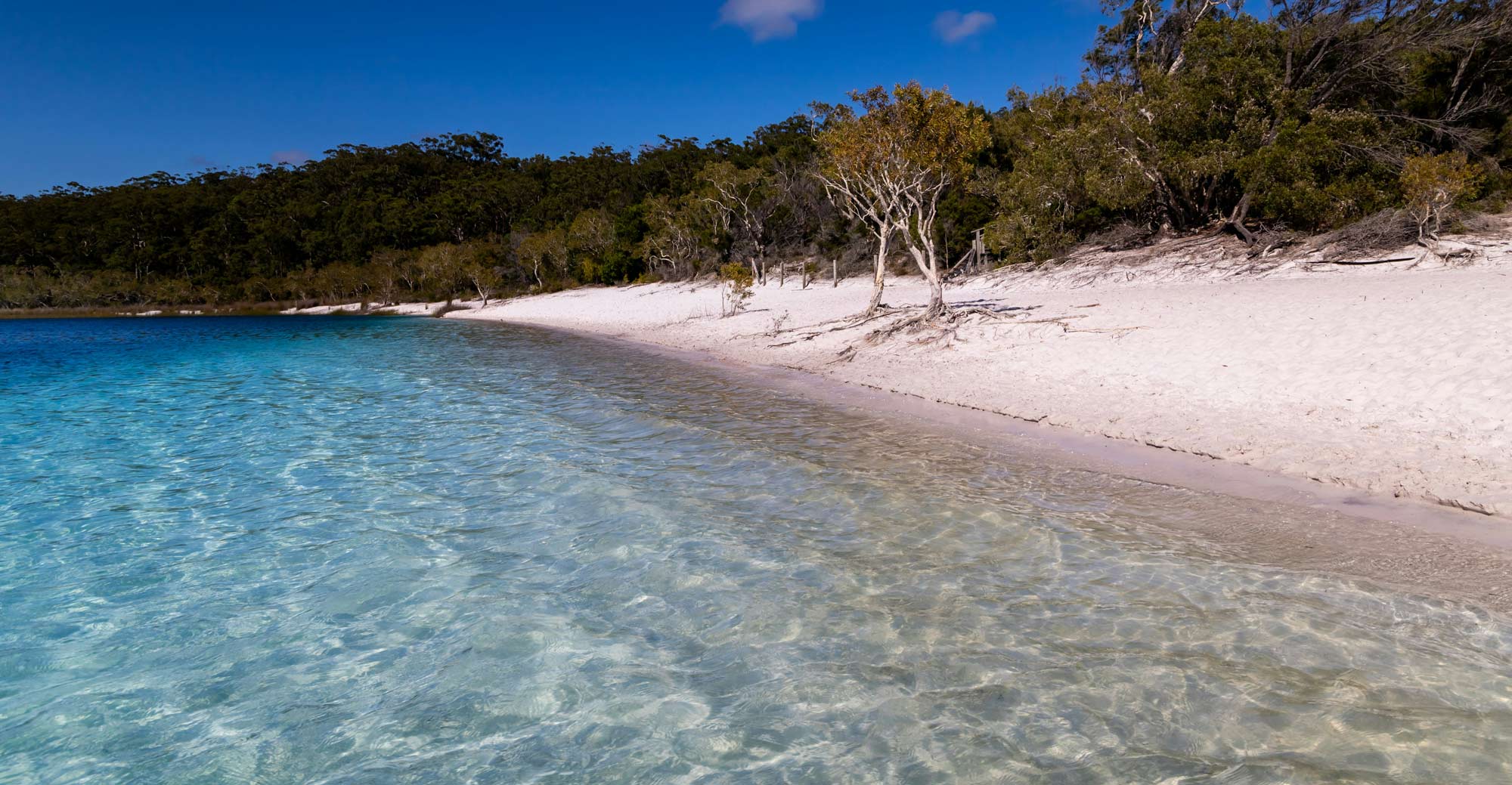
K'gari (formerly Fraser Island) is managed by the Queensland Parks and Wildlife Service as part of Great Sandy National Park, located off the Fraser Coast in southeastern Queensland
Australia is home to the world’s largest sand island
Located off the coast of southern Queensland, K'gari is the world's largest sand island, covering 165,280 hectares. It is 123 kilometres long and up to 25 kilometres wide, with a diverse landscape that includes freshwater lakes, sand dunes, wetlands and rainforests.
K'gari is also known for its coloured sands, which were stained by decayed vegetation leaching into the sand over thousands of years. Some deposits are up to eight million years old. The Cathedrals — a natural feature on the island's eastern beach — provide an example of this process.
In the 1970s, major campaigns opposed sand mining on K'gari, leading to an Australian Government ban on sand mining on the island. K'gari is now World Heritage listed and includes Great Sandy National Park, which covers 52,400 hectares in the northern part of the island.
About Geoscience Australia
Geoscience Australia delivers the trusted national geospatial and Earth science information that helps Australia understand, manage and plan for its land, resources, environment, infrastructure and resilience.
Discover more about Australia’s geography and people in the Digital Atlas of Australia, or return to the Australian Geography Knowledge Hub.
Discover more
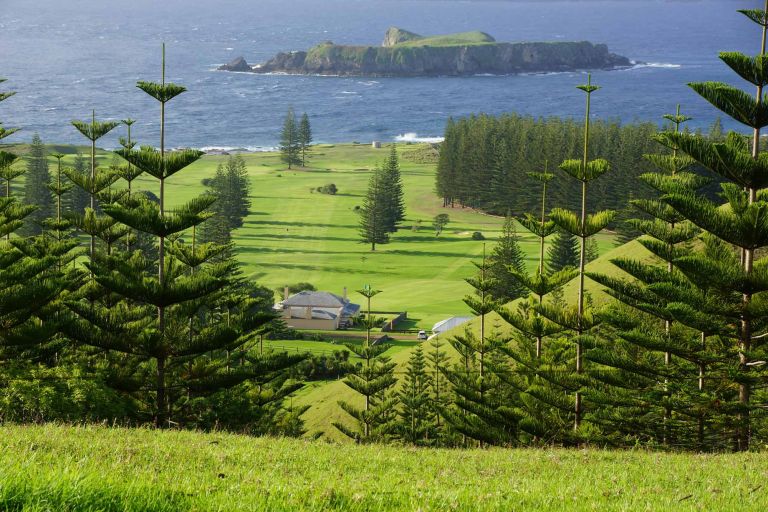
Australia’s territories span the Pacific, Indian and Southern oceans and the Coral Sea. From tropical coral reefs and islands to remote subantarctic landscapes, they encompass a diverse range of environments and geographic features.

Australia's maritime jurisdiction defines where the nation may exercise specific rights, responsibilities and obligations at sea under international and Australian law.
Geoscience Australia provides the geospatial and scientific insights that help shape Australia’s marine and coastal future. Explore data, maps and tools for understanding our seabed, coasts, maritime jurisdiction and Antarctica.