Knowledge article What is Australia's maritime jurisdiction?
Page last updated:27 August 2026
Australia's maritime jurisdiction defines where the nation may exercise specific rights, responsibilities and obligations at sea under international and Australian law.
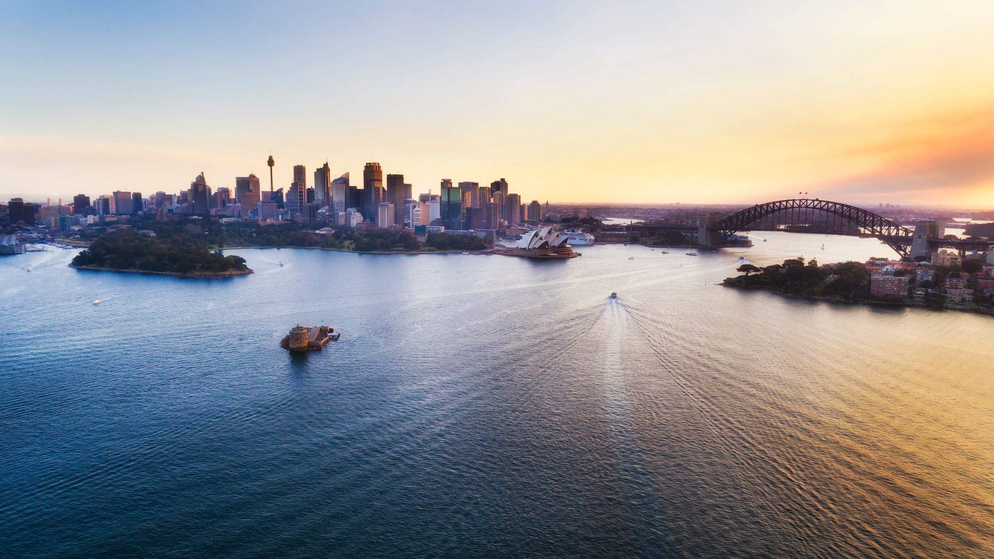
Australia's rights and responsibilities extend far beyond its coastline
Australia has one of the largest maritime jurisdictions in the world — a vast marine estate with an area of 13.86 million square kilometres, including the waters surrounding Australia's external territories and the Australian Antarctic Territory.
This area is approximately 1.5 times larger than our landmass (not including the Australian Antarctic Territory and adjacent maritime jurisdiction). It includes parts of the Indian, Pacific and Southern Oceans, and the Timor, Arafura and Coral Seas.
Maritime jurisdiction refers to the areas of ocean where Australia exercises sovereignty, sovereign rights and jurisdiction, in accordance with international and domestic law, as well as arising out of treaties with neighbouring countries.
This legal framework is essential for Australia to manage marine resources, protect the marine environment, support shipping and maritime safety, enable scientific research, and regulate many other activities that contribute to our economy, security and future prosperity.
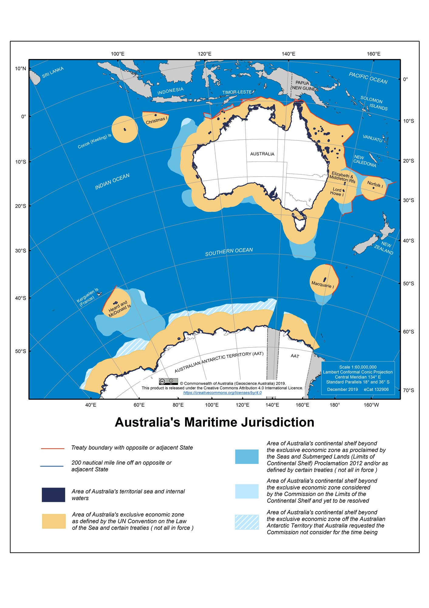
Australia’s maritime zones
Australia's maritime jurisdiction is expressed through a series of maritime zones, each defining different rights, responsibilities and obligations under international and Australian law.
These include:
- Coastal waters
- Territorial sea
- Contiguous zone
- Exclusive economic zone (EEZ)
- Continental shelf
Together, these zones provide the framework for how Australia's rights and responsibilities apply across our oceans and seas.
Learn about Australia's maritime zones
Sectoral boundaries and areas
Within Australia's maritime jurisdiction are a range of legally defined boundaries and management areas tied to specific uses or sectors. These include marine parks, fisheries management areas, shipping routes, offshore petroleum titles, defence exercise areas and many other boundaries established for specific purposes.
These boundaries often overlap Australia's maritime zones, meaning different rights, responsibilities and activities may apply in the same location.
Understanding how these areas and uses interact is an important part of planning, regulation, environmental management and the sustainable use of Australia's marine estate.
Geoscience Australia helps make these boundaries visible and available to support informed decisions.
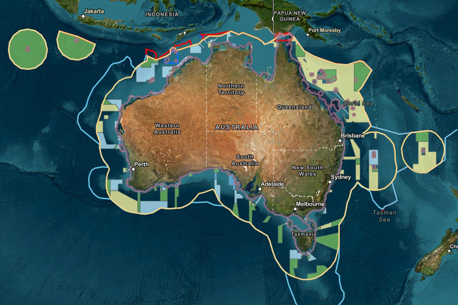
Geoscience Australian maintains the Australian Maritime Boundaries 2020 dataset, which can be visualised via the Australian Marine Spatial Information System (AMSIS).
Explore what applies where
Through authoritative datasets, maps and technical advice Geoscience Australia helps make Australia's maritime jurisdiction visible and accessible, supporting greater certainty, stability and predictability across our region.
The Australian Marine Spatial Information System (AMSIS) is the Australian Government's digital platform for accessing and visualising official information relevant to marine spatial planning, governance and the sustainable management of Australia's marine domain.
AMSIS allows users to explore how maritime zones, protected areas, offshore titles, environmental information and other spatial layers relate to one another, helping build a clearer understanding of what applies where in any offshore location.
Explore Australia's maritime jurisdiction in AMSIS
Get the data: Geoscience Australia maintains the authoritative dataset that defines Australia’s maritime jurisdiction boundaries. This data product is known as the Australian Maritime Boundaries 2020 (AMB 2020).
See it on a map: Australia's maritime jurisdiction is also available as a large-format map for print here.
Learn more
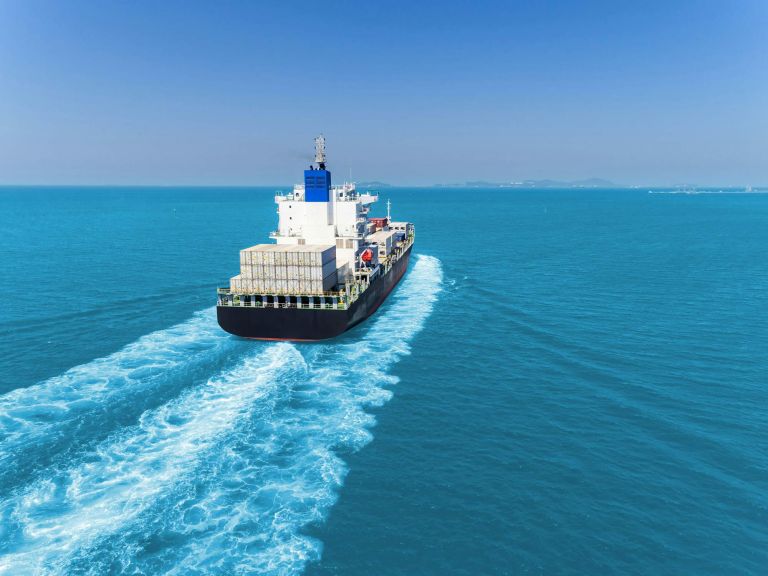
International laws and Australian legislation provide the legal framework that defines Australia's maritime boundaries, maritime zones and rights at sea.
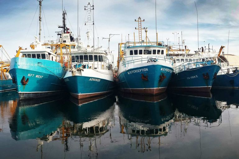
Australia's maritime zones define where different rights, responsibilities and obligations apply across Australia's maritime jurisdiction.
Geoscience Australia provides the geospatial and scientific insights that help shape Australia’s marine and coastal future. Explore data, maps and tools for understanding our seabed, coasts, maritime jurisdiction and Antarctica.