Knowledge article The long history of Australian landforms
Page last updated:4 November 2026
Australia has some of the oldest geological features in the world, as well as evidence of relatively recent volcanic and glacial activity. Its present landscape has been shaped by tectonic movements, changes in sea level, erosion, climate and volcanic activity over millions of years.
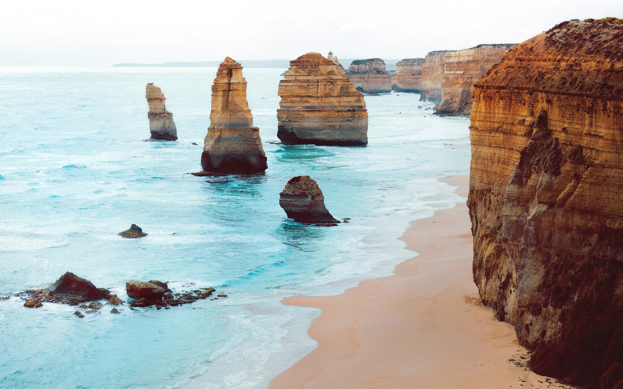
The shape of Australia has been influenced by tectonic movements and long-term changes in sea level. However, much of Australia's present topography has been shaped by prolonged erosion by wind and water.
About 50 per cent of Australia's rivers drain inland, often ending in ephemeral salt lakes. Many features of Australia's drainage pattern have a very long history, and some individual valleys have remained in approximately the same position for millions of years.
The Finke River in central Australia is one of the oldest rivers in the world. In Western Australia, the salt lakes of the Yilgarn region are remnants of a drainage pattern that was active before continental drift separated Australia from Antarctica.
Australia's landscape through geological time
Australia began its journey across the surface of the Earth as an isolated continent between about 55 and 10 million years ago and continues to move north by about seven centimetres each year.
Australia's present topography is the result of a long geological and landscape history.
During the Permian Period: Australia was located very close to the South Pole and much of the continent was glaciated by large ice caps. After the ice melted, parts of the continent subsided and formed sedimentary basins.
By the early Cretaceous Period: Australia was already so flat and low that a major rise in sea level divided the continent into three landmasses as a shallow sea spread across the land.
During the Paleogene and Neogene periods: Australia developed a broadly undulating landscape containing a number of sedimentary basins, including the Murray, Gippsland, Eucla, Carpentaria and Lake Eyre basins. Erosion of the newly formed continental edge on Australia's eastern side formed the Great Escarpment, which can be traced from near the tip of Cape York Peninsula to south-eastern Victoria.
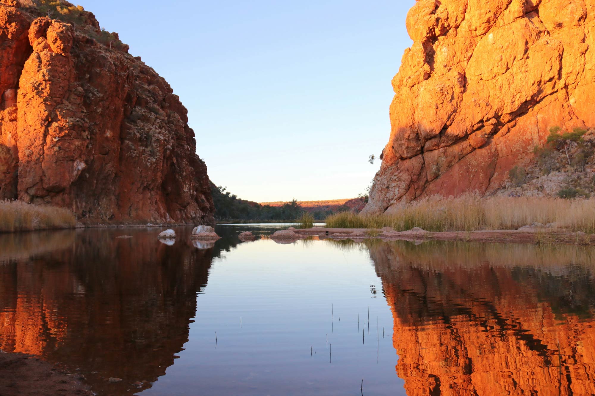
How did central Australia's landscapes form?
Much of central Australia is flat, but it contains ranges including the MacDonnell and Musgrave Ranges, as well as distinctive geological structures such as Uluru.
Faulting and folding in this region occurred long ago. The landscape seen today is largely the result of millions of years of erosion and the redistribution of sediments. Material eroded from higher areas accumulated in depressions within Australia's largely internal drainage system.
Uluru and nearby Kata Tjuta are examples of resistant geological formations that remained after the surrounding landscape eroded.
How did Australia's Eastern Highlands form?
During the Paleogene and Neogene periods, the Eastern Highlands were uplifted to form the Great Divide, or Great Dividing Range, which runs almost 4,000 kilometres from near the tip of Cape York Peninsula in Queensland to the Grampians in Victoria.
The range separates rivers flowing west and north from those flowing towards the Pacific Ocean.
It includes mountains in the south, topped by Mount Kosciuszko, as well as volcanic plugs, ash domes and lava-flow remnants further north. Examples of volcanic influences include the Mount Warning Shield Volcano, formed about 23 million years ago on the New South Wales–Queensland border, and the Glass House Mountains and Mount Surprise in Queensland. These formations were created as Australia moved over a volcanic hotspot.
In some southern areas, erosion has dissected plateaus into rugged hills, with their eastern edge forming high escarpments.
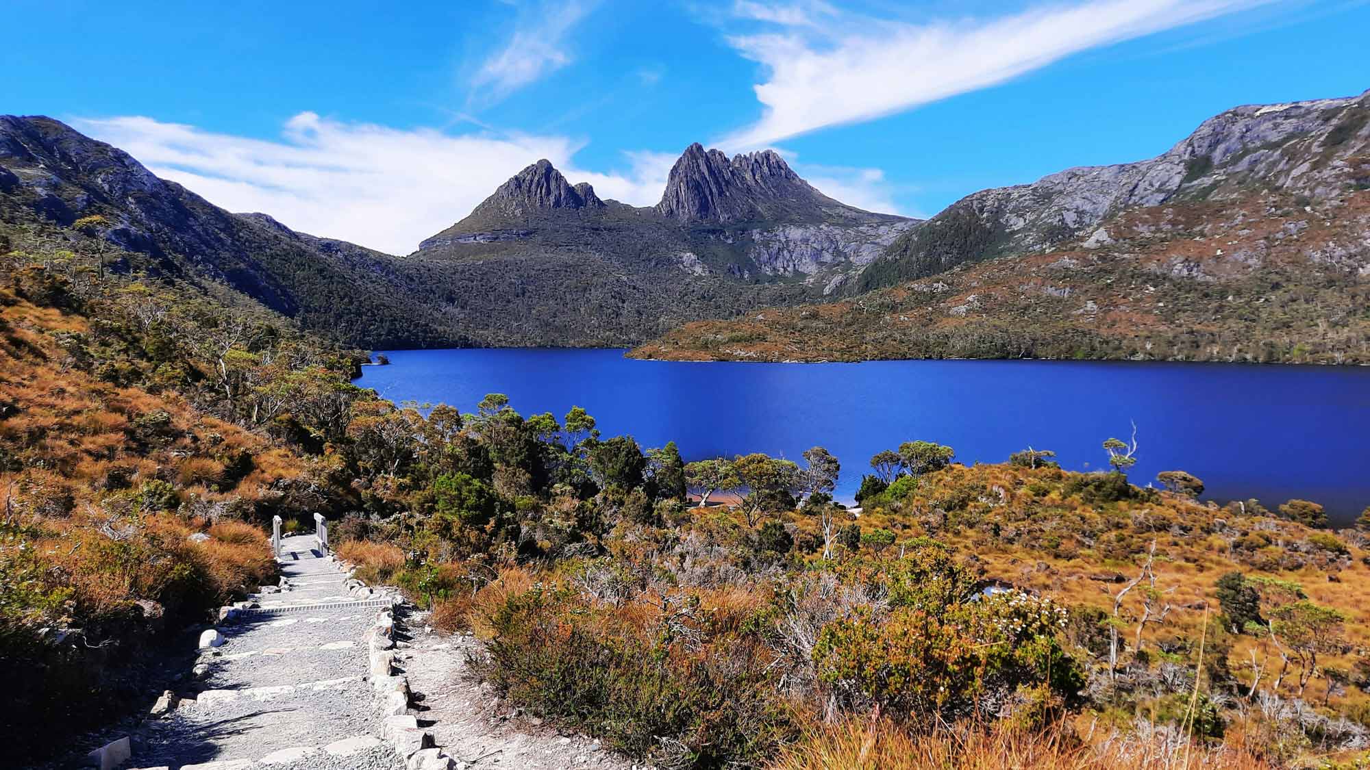
Cradle Mountain and Dove Lake in the central highlands of Tasmania
How did ice ages shape Australia?
The past few million years have included the Quaternary ice age, with repeated glacial and interglacial periods.
The last glacial period was at its most intense about 20,000 years ago. By around 11,700 years ago, the ice had retreated and rising sea levels had separated mainland Australia from Tasmania and New Guinea.
Tasmania contains evidence of three different glaciations, while mainland Australia contains evidence of only the last glaciation.
During the last glaciation, ice covered about 25 square kilometres around Mount Kosciuszko. One of the most significant remnants is the Blue Lake cirque — a bowl-shaped valley carved by ancient ice.
Glaciation was more widespread in Tasmania, covering a significant part of the state's western region. Well-known remnants include Crater Lake and Dove Lake near Cradle Mountain in Tasmania's central highlands.
When was Australia's most recent volcanic activity?
Volcanic activity occurred across eastern Australia during the Paleogene and Neogene periods, when volcanoes erupted and extensive lava plains formed.
This activity continued until only a few thousand years ago in Victoria and Queensland.
Australia's youngest mainland volcano is Mount Gambier in South Australia, which last erupted about 6,000 years ago.
Volcanic activity has occurred more recently on Australia's remote offshore territories. On Heard and McDonald Islands in the Southern Ocean, volcanic activity occurred at Mawson's Peak in the mid-1980s, while activity on the nearby McDonald Islands occurred during the 1990s.
How is Australia's landscape still changing?
Australia's present landforms are the result of prolonged and continuous processes of movement and erosion over millions of years. These processes continue as the continent moves north.
Climate has also played an important role in shaping Australia. Increasing aridity over the past 20 to 30 million years has had a particularly strong effect on central Australia, where lakes and river systems became drier and increasingly reliant on flows from the wetter margins of the continent.
Australia's landscapes therefore continue to change as geological processes, erosion and climate interact over time.
About Geoscience Australia
Geoscience Australia delivers the trusted national geospatial and Earth science information that helps Australia understand, manage and plan for its land, resources, environment, infrastructure and resilience.
Discover more about Australia’s geography and people in the Digital Atlas of Australia, or return to the Australian Geography Knowledge Hub.
Discover more
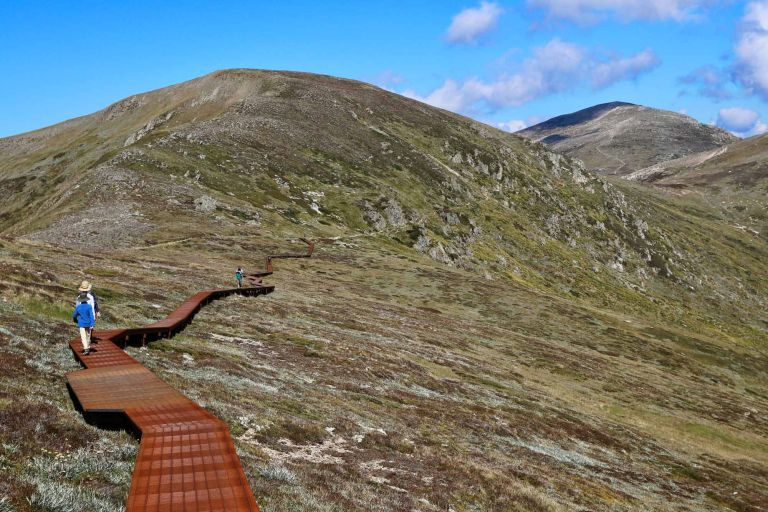
From Australia's highest mountains and longest rivers to its largest lakes and highest cities and towns, get the facts about some of the country's most significant geographic features.
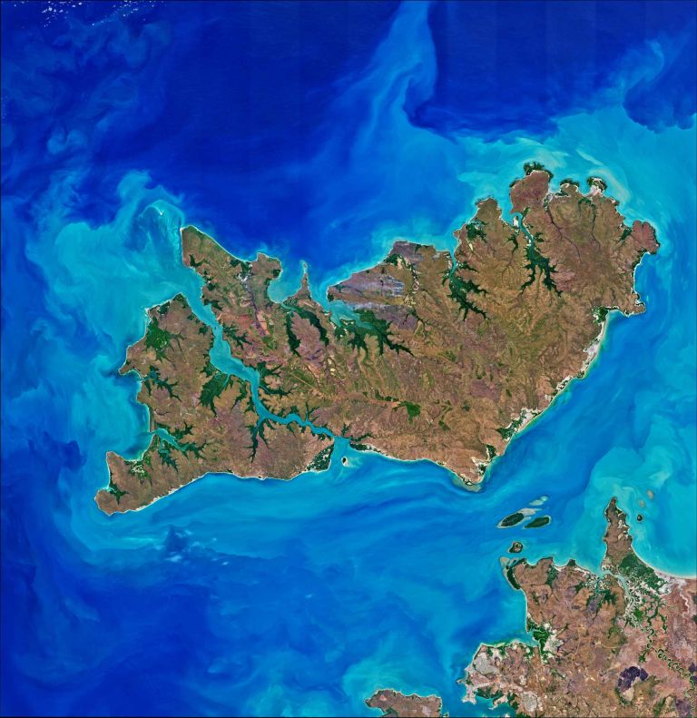
Australia is an island-rich continent, with thousands of islands ranging from small rocky outcrops to some of the country's largest and most remote landforms.
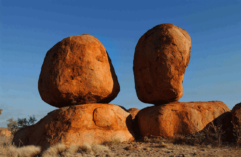
Australia has some of the oldest geological features in the world and its distinctive formations reveal processes that have shaped the continent over millions of years.