Location information at work Preparing for flood, fire and climate impacts
Location information helps Australia prepare for hazards, understand potential impacts and respond when disasters occur.
Page last updated:4 November 2026
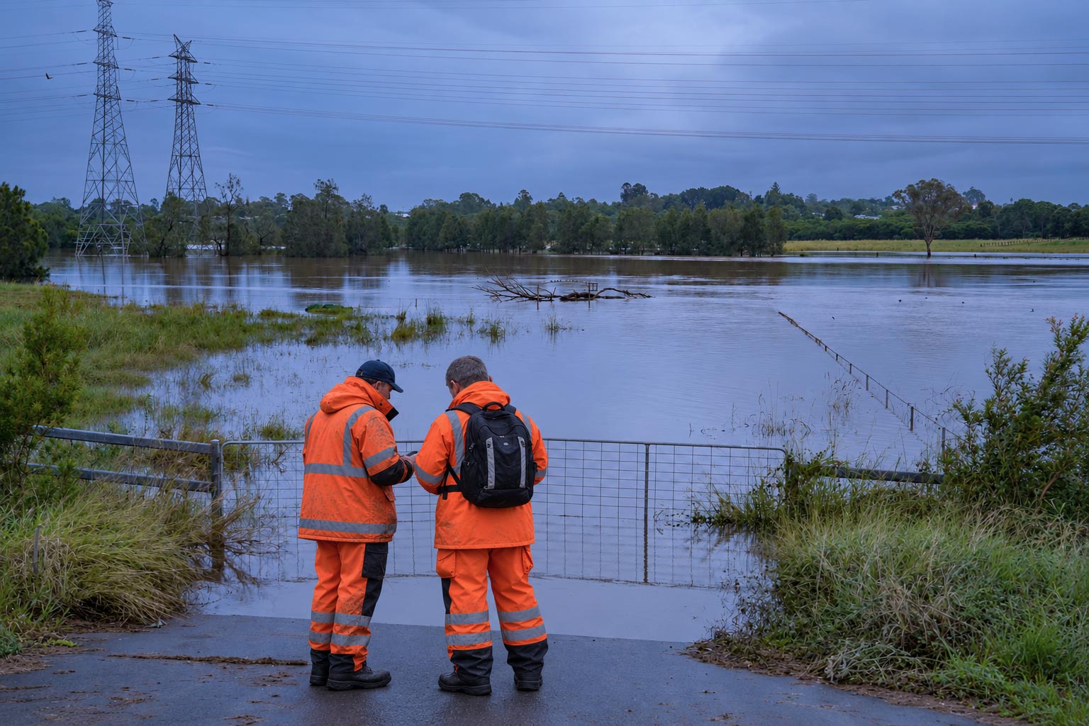
Mapping flood risk
Assessing flood and inundation risk starts with understanding the shape and elevation of the land.
High-resolution geospatial data from our ELVIS Elevation Information System is used across Australia for flood and stormwater modelling, and to study how water moves across catchments and floodplains. This information supports communities, councils, civil works and disaster preparedness.
Explore elevation data with ELVIS
Geoscience Australia ensures foundation geospatial data is available for integration into flood tools and resources across Australia:
Discover the Australian Flood Risk Information Portal (AFRIP)
See the flood projects of our Community Safety team
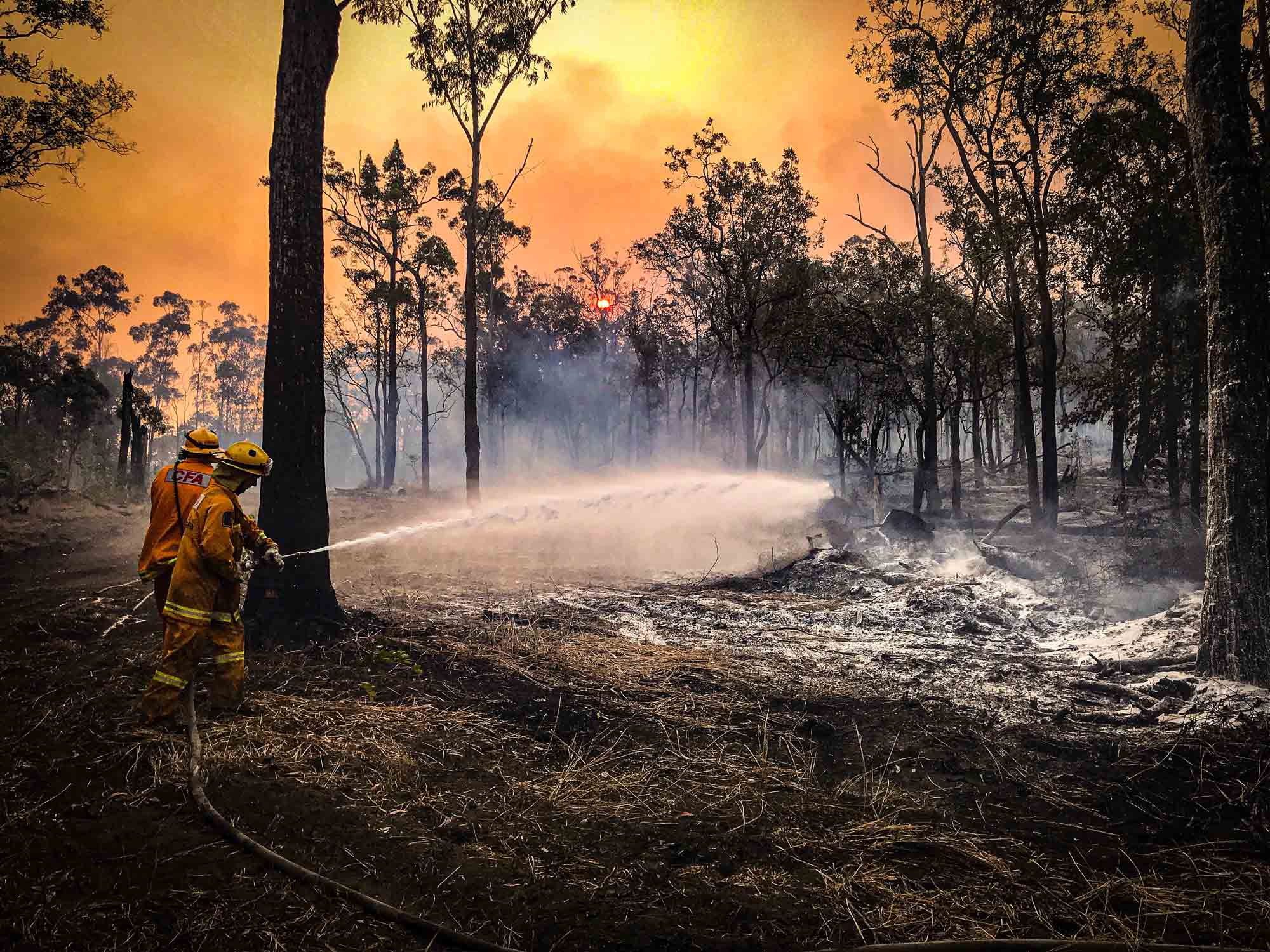
Uncovering the behaviour of bushfires
Knowing where bushfires are happening — and where they’ve happened before — helps Australia prepare for the future.
The Digital Atlas of Australia brings together near-real-time bushfire extents, three-hourly accumulated fire extents and more than a century of historical bushfire records.
Explore these datasets alongside information about infrastructure, communities, land and the environment to identify patterns, assess potential impacts and support planning and response.
Apply bushfire insights with the Digital Atlas
Trusted national geospatial data lays the foundation for Geoscience Australia’s many bushfire products and projects.
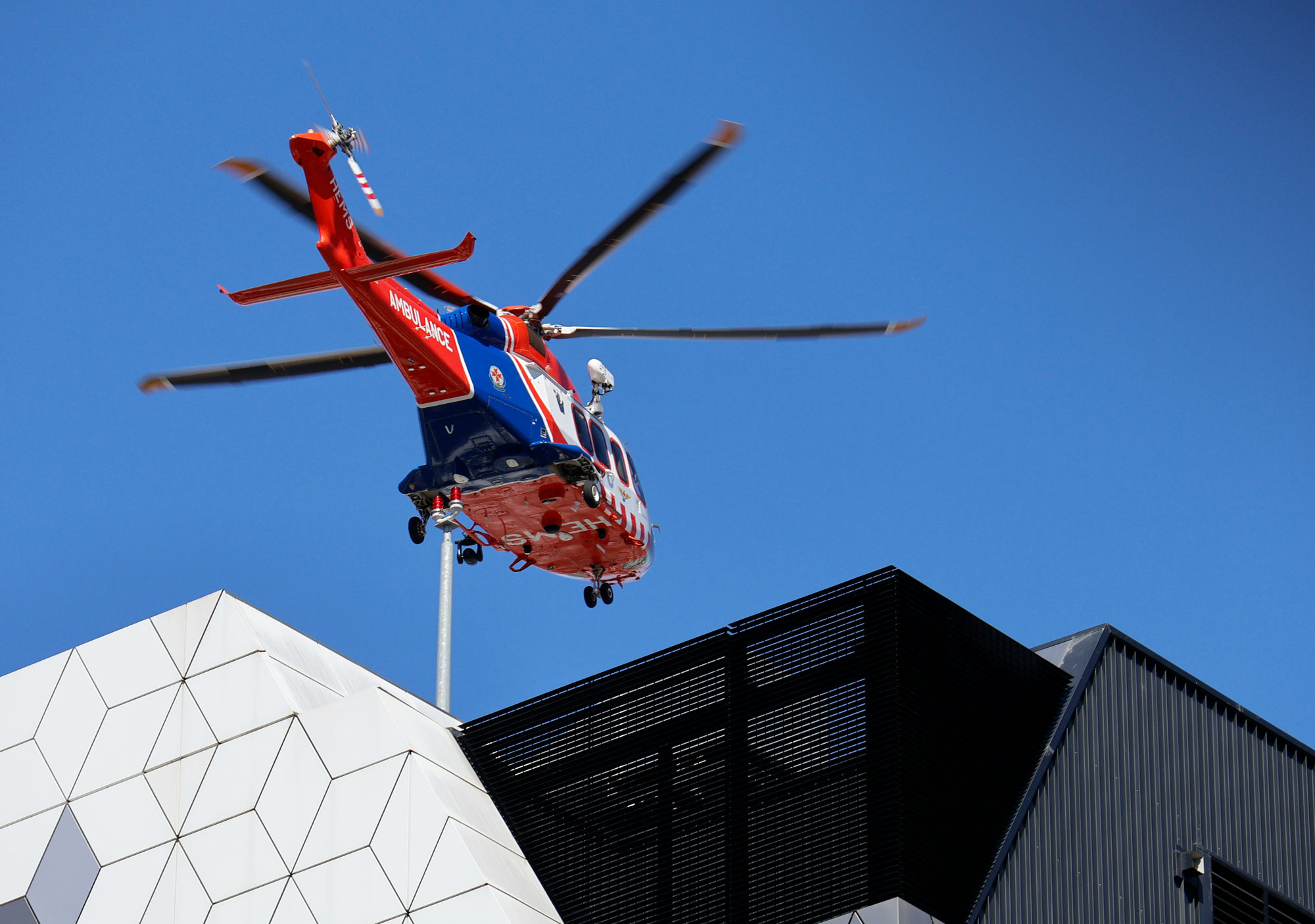
Enabling coordinated spatial awareness
National location information helps build a shared picture of the natural and built features in the landscape — supporting more coordinated preparedness, response, recovery and long-term resilience.
Emergency planners and managers rely on our trusted geospatial data to understand what is at risk, identify gaps and dependencies, and make better-informed decisions before, during and after an emergency or event. We work to ensure the best available datasets remain accessible. These can include:
- Hospitals and medical centres
- Emergency management facilities
- Electricity and power facilities
- Population
- Roads and other transport infrastructure.

Modelling sea level rise, tsunamis and coastal erosion
From seabed to shoreline, studies of how water interacts with the landscape call for quality data.
Geoscience Australia makes elevation data available through the ELVIS Elevation Information System and bathymetry data accessible through the AusSeabed Marine Data Portal, unlocking knowledge about the shape and depth of the land and seabed.
Together with other coastal data, these resources support modelling of tsunami inundation, sea level rise and coastal erosion — helping Australia understand potential impacts and prepare for future hazards.
Learn how our work supports tsunami preparedness
We’re helping Australia build a picture of sea level rise
Find data and tools for your work
Explore Geoscience Australia's maps, datasets and platforms to apply location information to your projects.
Digital Atlas of Australia
Discover, analyse and download curated national datasets by location, data provider or theme. The Digital Atlas brings together trusted data from across government in a user-friendly online platform.
Australia’s national foundation geospatial data
Search, view and use Australia’s national foundation geospatial data through trusted maps, platforms, portals and services.
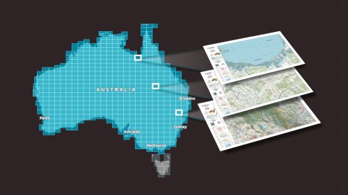
Topographic Maps Explorer
Explore Geoscience Australia’s authoritative national topographic maps and data, including current and historical maps and information available to download for free.
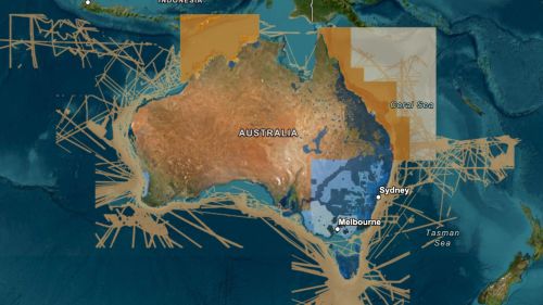
ELVIS Elevation Information System
Integrate elevation data into your project. ELVIS provides access to LiDAR point clouds, digital elevation models and other data through a cloud-based platform.