Insights for impact Building a clearer picture of sea level rise
As Australia and its neighbours work to understand what sea level rise and changing coastlines may mean for places and people, authoritative geospatial information is essential. Geoscience Australia's diverse geoscience capabilities help governments, planners and researchers across our region build a clearer picture of potential impacts.
Page last updated:27 August 2026
The challenge
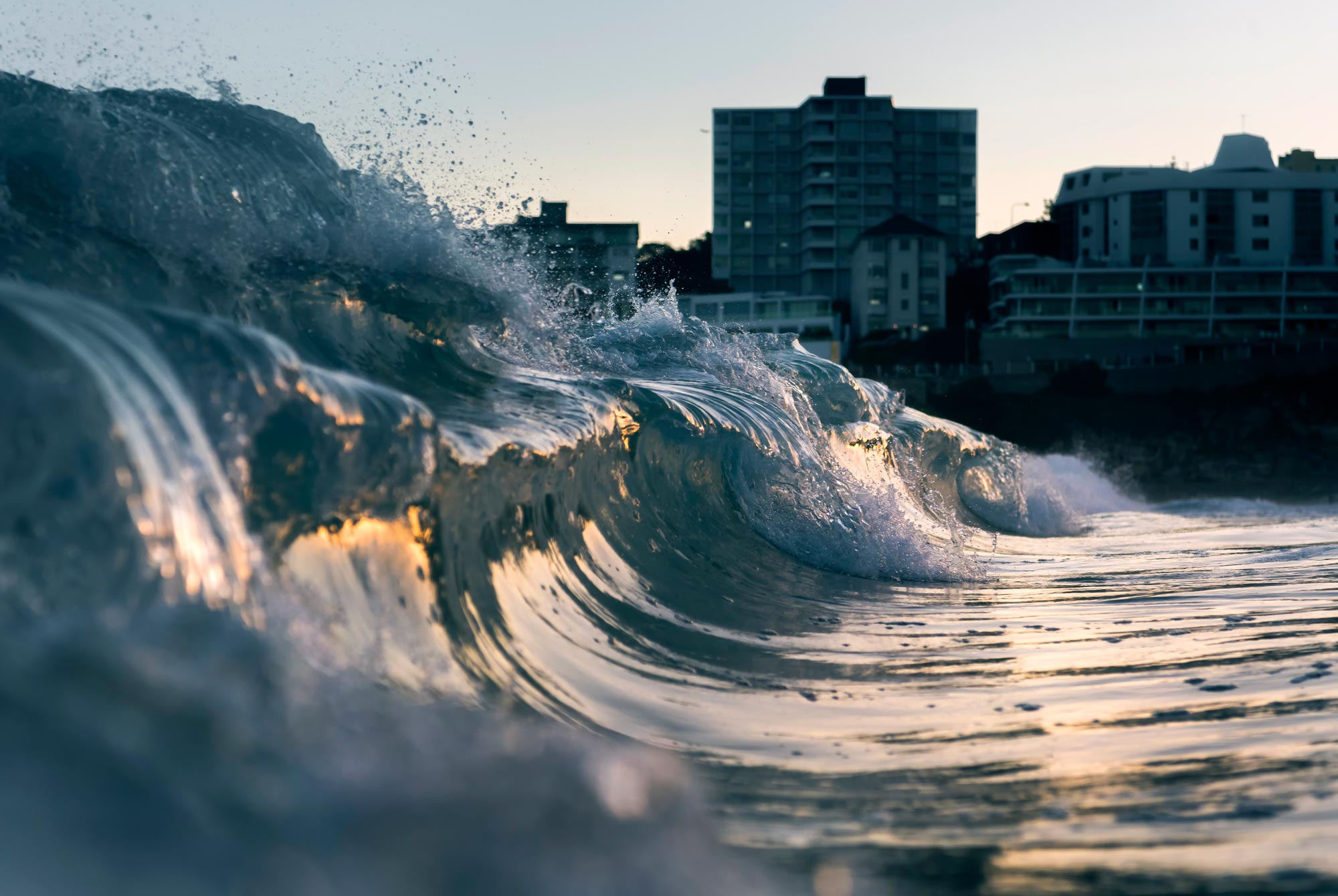
With more than 87% of Australia’s population living within 50 km of the coast, sea level rise is one of the nation’s most significant long-term climate risks.
The 2025 National Climate Risk Assessment — developed through the Australian Climate Service partnership between the Bureau of Meteorology, Geoscience Australia, CSIRO and the Australian Bureau of Statistics — found that an additional 1.5 million people could be living in high-risk coastal areas by 2050.
As sea level rise places increasing pressure on ecosystems, infrastructure and communities, knowing where change is likely to occur, and how its effects may evolve over time, depends on authoritative geographic information.
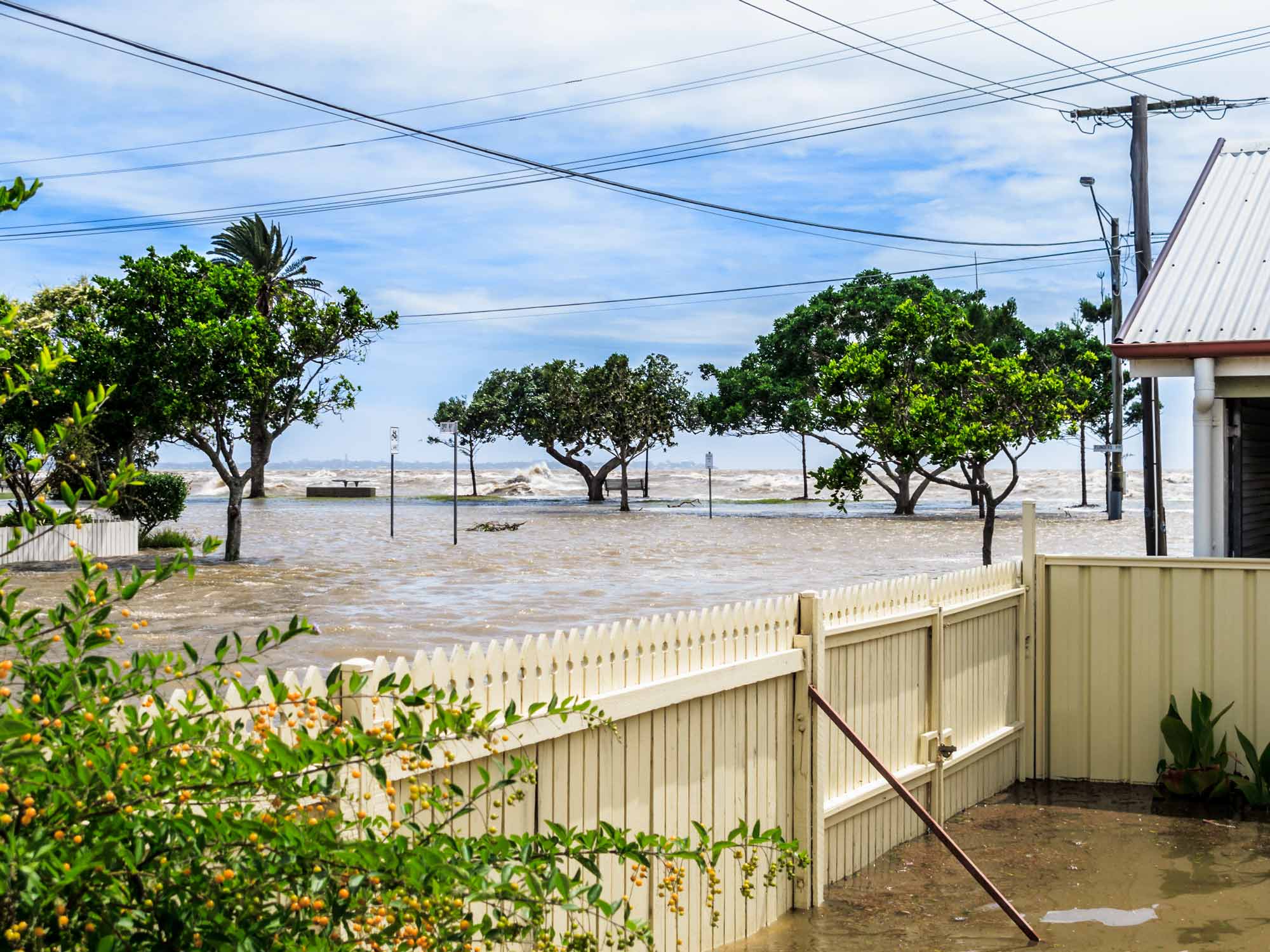
The shape of the seabed and coast influences how waves, storm surges and rising sea levels interact with coastal landscapes
Connecting information from land, seabed and space
The implications of sea level rise cannot come into view through a single lens.
Measuring land elevation, mapping the seabed, tracking coastal change from space and maintaining maritime boundary information each reveal a different part of the story.
The role of seabed and marine data
The shape of the seabed and coastline helps determine how waves, storm surges and coastal processes interact with the landscape, while coastal barriers and other landforms can reduce or amplify these impacts.
Geoscience Australia’s collaborative seabed mapping, marine geomorphology and seamless land-sea mapping provide the physical landscape information used in coastal hazard models and assessments.
Through the AusSeabed Marine Data Portal, governments and researchers can access bathymetry and other seabed data from around Australia for integration into local mapping, modelling and planning tools.
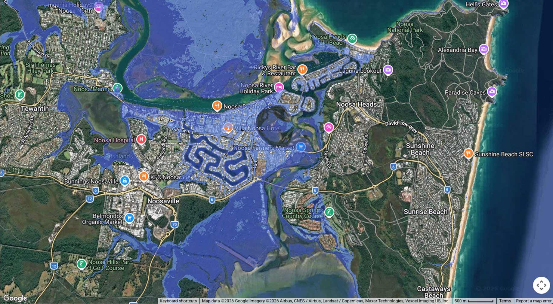
Data made available by Geoscience Australia's ELVIS Elevation Information System was integrated into the Coastal Risk Australia tool, which allows users to visualise how sea level rise might affect their local area. Here, the tool shows projected inundation of Noosa, Queensland, in the year 2100.
Making elevation data freely available
Around Australia, governments, industry and communities are modelling the projected impacts of sea level rise on their local environments.
Geoscience Australia's ELVIS Elevation Information System underpins this work by providing open access to information about the height of the land and the depth of the seabed. These data support the creation of digital elevation models (DEMs) and inundation or 'bathtub' models that help identify areas most vulnerable to rising sea levels.
Elevation data made available by ELVIS is integrated into the Coastal Risk Australia tool, for example, allowing users to visualise how sea level rise might affect their local area.
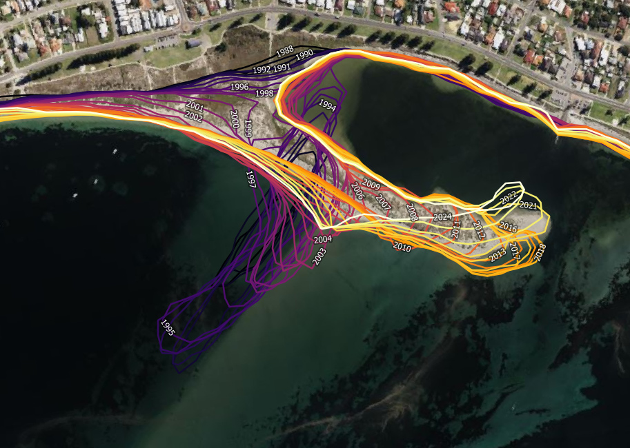
The DEA Coastlines product shows the evolution of a sand spit on Tern Island, south of Perth, over the years 1988 to 2021
Tracking change with a trusted view
Understanding the vulnerability of Australia’s coasts to future sea level rise requires a reliable record of how these landscapes are already changing.
Geoscience Australia’s Digital Earth Australia (DEA) program leverages the power of satellite data to deliver a suite of products that help track and analyse landscape change — providing insights into coastlines, coastal ecosystems, high and low tides, and intertidal zones.
In 2021, Geoscience Australia released DEACoastlines, a world-leading data product that combines Landsat satellite data and tidal modelling to map over 30,000 km of Australia’s coastline, with data spanning back to 1988.
By providing a nationally consistent record of how Australia's coastlines have changed over time, the product helps governments, researchers and community interpret the effects of sea level rise alongside other coastal processes — today, and in the decades to come.
More than a line in the sand
Sea level rise has effects beyond ecosystems and coastal communities.
Under the law of the sea, coastlines are used to define maritime zones such as the territorial sea, Exclusive Economic Zone (EEZ) and continental shelf. When coastlines, reefs or islands change it has implications for the coastal baselines used to generate maritime jurisdiction and the maritime rights and responsibilities that flow from them.
Australia's low-lying coral reef islands illustrate why this matters.
While many of the coastal features that help define Australia’s maritime zones, such as rocky headlands and islands, are generally stable, some coral reef islands also contribute to those zones. Research supported by Geoscience Australia found that one in four low-lying reef islands are at high or very high risk from climate-change-related pressures, including sea level rise, warmer oceans, ocean acidification, storms and marine heatwaves.
The implications of climate-change-related sea level rise for maritime zones are internationally recognised. In 2021, Pacific Islands Forum leaders adopted the Declaration on Preserving Maritime Zones in the Face of Climate Change-Related Sea-Level Rise, affirming their intention to maintain maritime zones and associated rights notwithstanding the impacts of climate change related sea level rise.
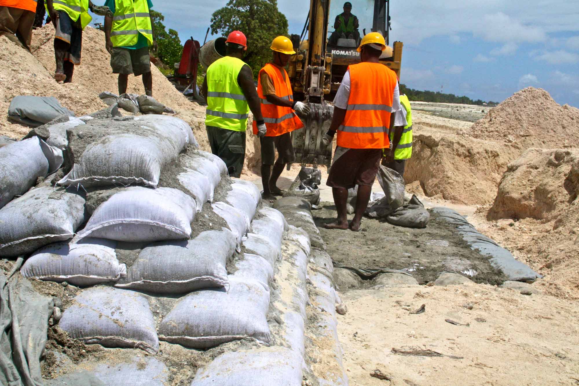
Seawalls under construction in the Pacific nation of Kiribati, a member of the Pacific Maritime Boundaries Program. Photo: Lauren Day / World Bank
Supporting our neighbours
Through the Pacific Maritime Boundaries Program, Geoscience Australia works with the Attorney-General's Department and other partners to assist countries to secure their maritime jurisdiction under the UN Convention on the Law of the Sea.
Led by the Pacific Community and supported by a regional consortium, the program assists Pacific Island countries to establish, declare and maintain their maritime zones and shared boundaries — providing certainty and stability for ocean governance.
For more than 20 years, Geoscience Australia has contributed geospatial expertise to maritime boundary determination across the Indo-Pacific. This work continues today, strengthening the geospatial evidence that supports maritime jurisdiction, marine planning and ocean governance in a changing climate.
Looking ahead
Sea level rise connects changes across land, coast, ocean and maritime jurisdiction. By measuring and mapping these connected environments over time, Geoscience Australia helps reveal where change is occurring and what it may mean for Australia and our region.
Discover more
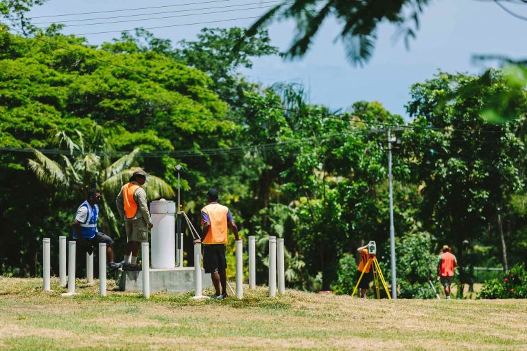
How Geoscience Australia is monitoring sea level variation across 13 Pacific Island nations to better prepare for rising sea level impact.
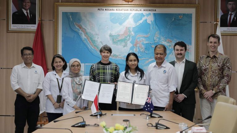
Australia and Indonesia work together to grow marine data capacity
Australian beaches are a major natural resource with about 11,000 beaches comprising 50% of our open coast.