Seabed Knowledge Hub Learn about seabed mapping
Why map the seabed?
Because it shapes many of the natural and human systems that underpin Australian life
For laying communication cables, building ports, docks and energy infrastructure, supporting fishing and shipping, and modelling waves and water currents — a detailed understanding of the seabed is vital.
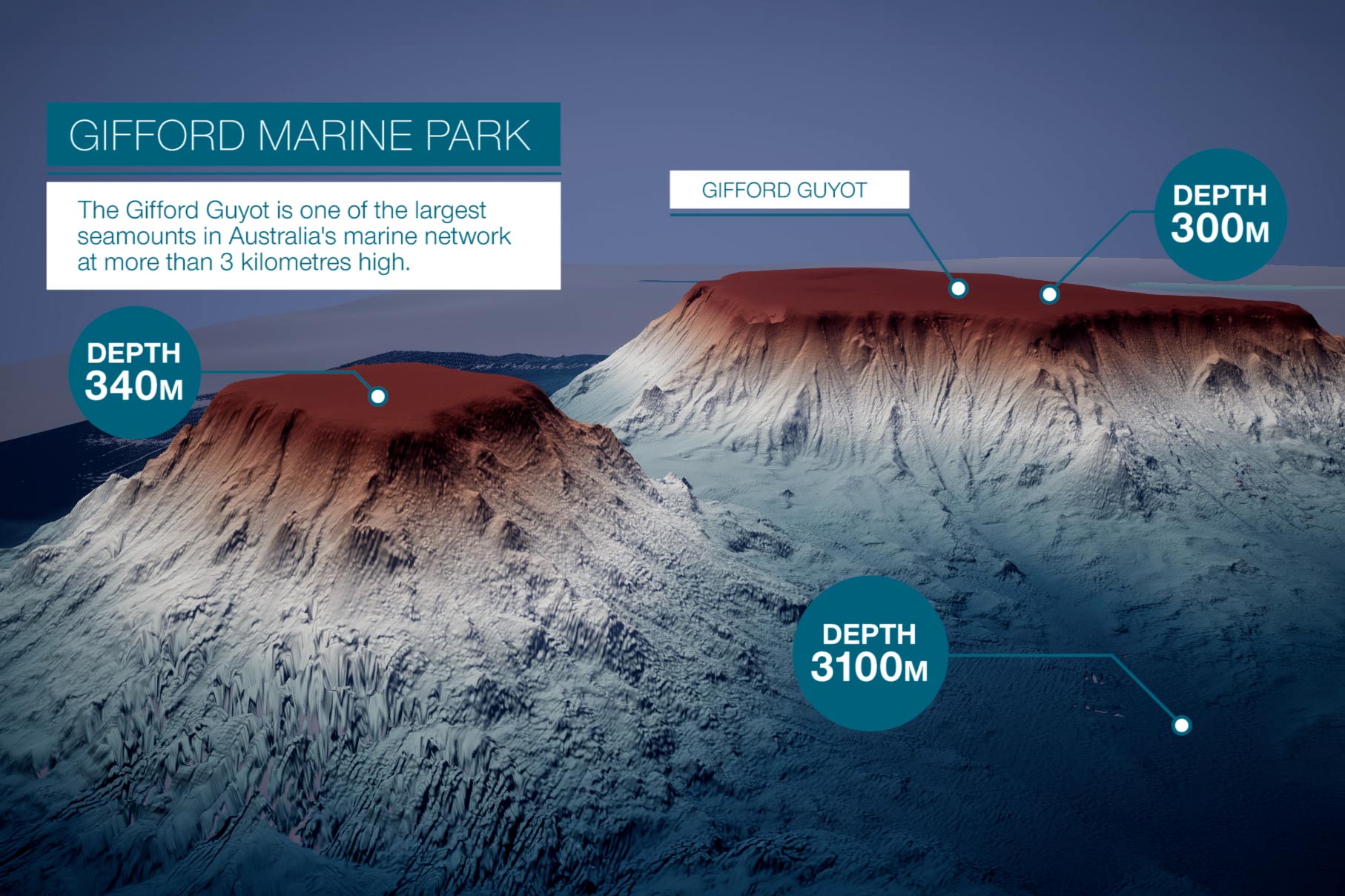
Geoscience Australia works to understand many aspects of Australia's seabed, including its depth, characteristics and features.
This knowledge hub brings together information about the science and technologies we use to provide marine insights to Australian governments, industries and communities.
Exploring Earth’s final frontier
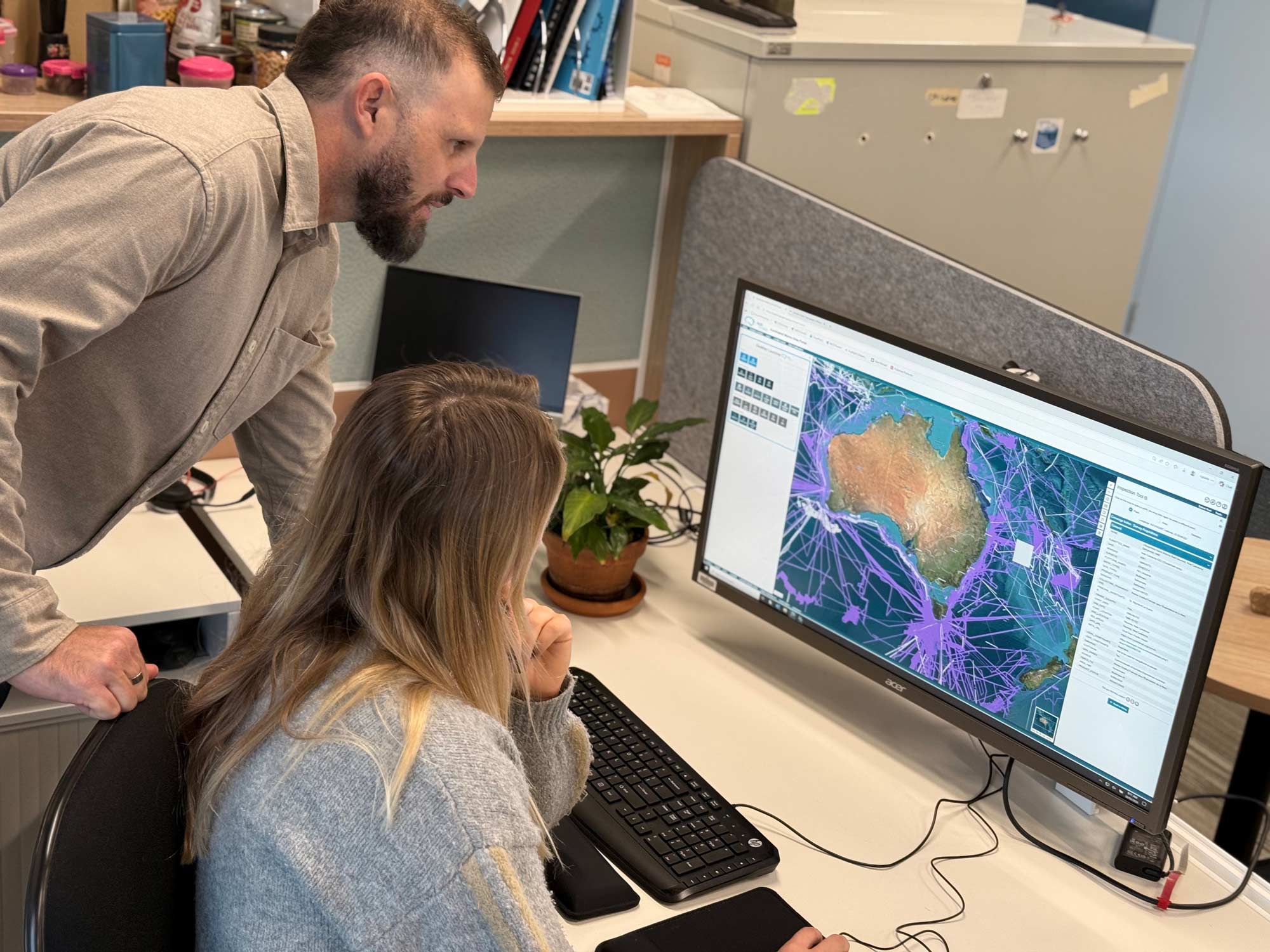
Learn how information is collected across Australia's marine estate through coordinated surveys undertaken by government, research and industry organisations.
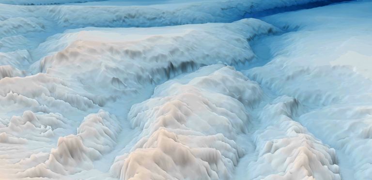
Discover how bathymetry data is collected and why it provides the foundation for navigation, marine planning, hazard assessment and ocean science.
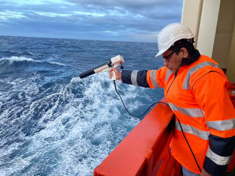
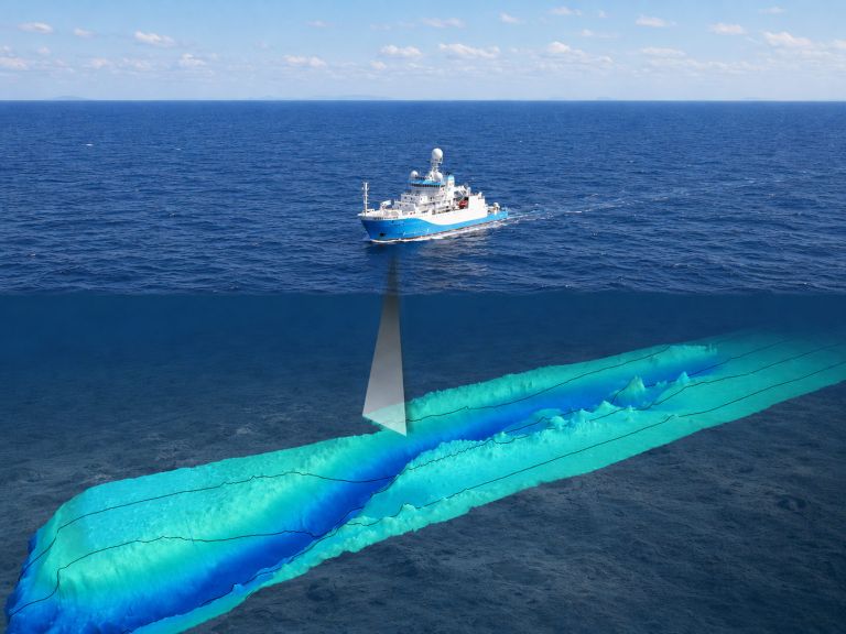
Scientists use sonar, LiDAR, satellite imagery and autonomous systems to collect bathymetry data and map the depth and shape of the seabed.
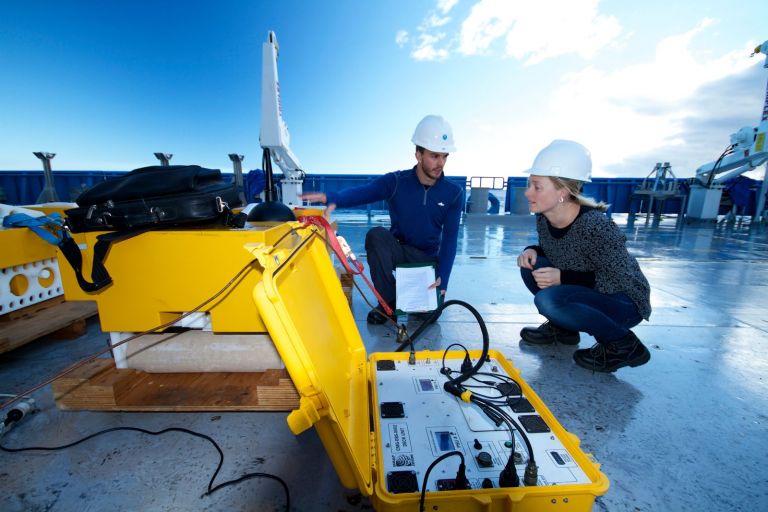
Sediment samples, imagery and geophysical measurements help scientists understand what the seabed is made of, how it formed and how marine environments change over time.
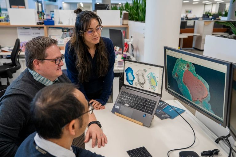
By interpreting the patterns and features revealed through seabed mapping, scientists can understand how ocean features formed, how they function, and how marine environments are connected.
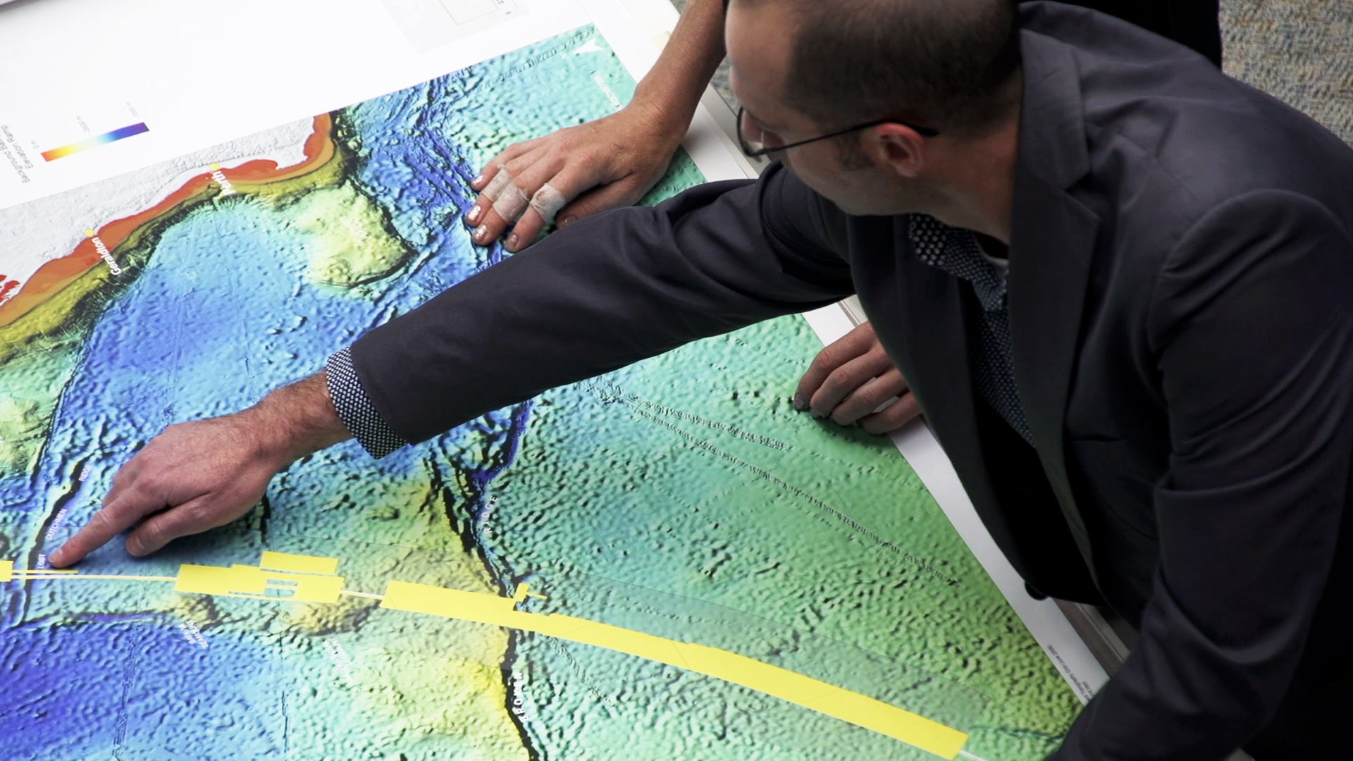
Lost at sea: the search for flight MH370
In 2014 Malaysia Airlines flight MH370 disappeared over the Indian Ocean
Geoscience Australia was called on to assist in the international search for the missing aircraft. The search involved collecting and processing large volumes of bathymetry data in remote ocean to develop maps of the seabed in a defined search area.
Dive into our seabed videos
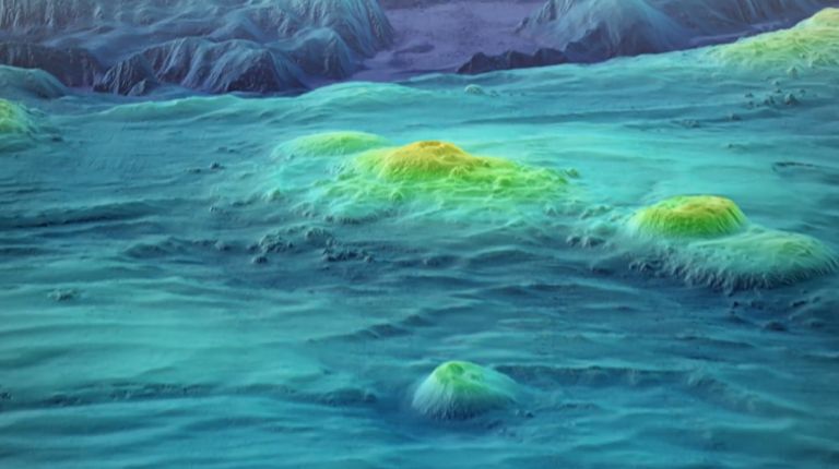
Explore how bathymetry and seabed mapping reveal the shape of Australia's marine world. This playlist showcases Geoscience Australia's work to map, understand and manage the seabed.
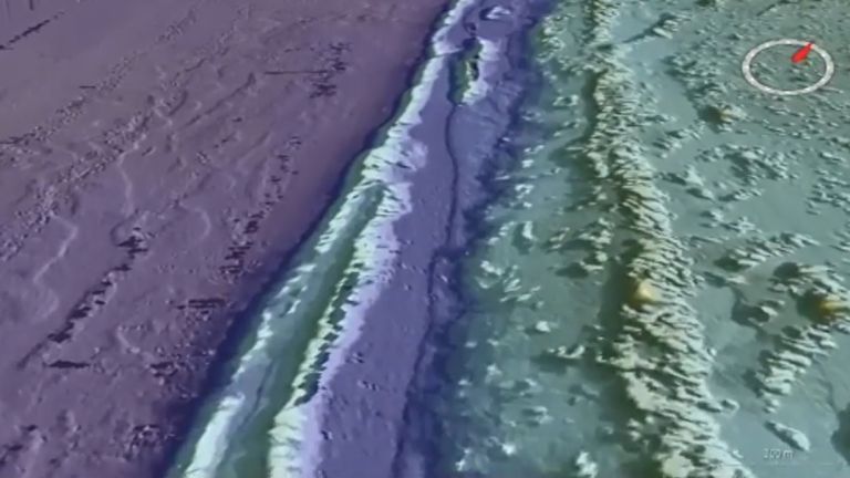
Discover how seabed landscapes shape marine habitats and ecosystems. Explore the geomorphology of the Carnarvon Shelf, Lord Howe Island Shelf and Tasmania's shelf reefs.
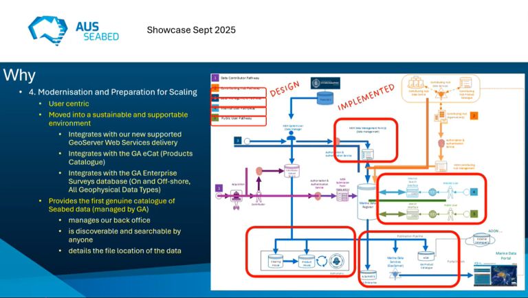
AusSeabed is Australia’s national collaborative seabed mapping program. Public AusSeabed showcase events are held and recorded throughout the year. sharing expertise and insights from across the marine science community.