Knowledge article How are seabed characteristics analysed?
Page last updated:27 August 2026
Sediment samples, imagery and geophysical measurements help scientists understand what the seabed is made of, how it formed and how marine environments change over time.
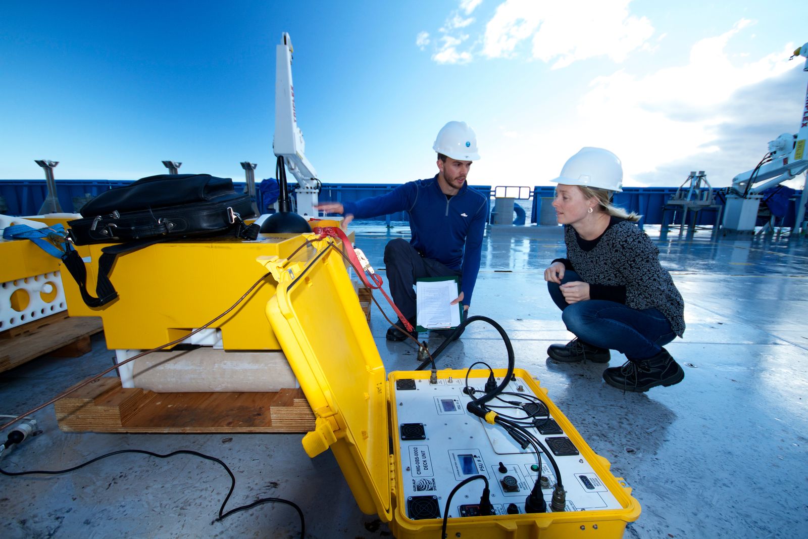
Why do seabed characteristics matter?
A ridge, canyon or plateau may be clearly visible on a bathymetric map, but additional information is needed to know whether the seabed is rock, sand, mud, gravel or coral reef — how stable it is, what habitats it supports, and how it has changed over time.
This characterisation supports marine planning, environmental assessment, offshore infrastructure, habitat mapping and geological research. It helps scientists better investigate the landscapes and processes that shape Australia's marine environment.
Sediments: the building blocks of the seabed
One of the most direct ways to understand the seabed is to collect a sample.
Sediment samples allow scientists to examine grain size, composition, mineralogy and other physical characteristics of the seabed. Samples may be collected using grab samplers, corers or drilling systems, depending on the type of information required. Sedimentary coring and drilling can recover material from the seabed and shallow subsurface, helping reveal both present-day conditions and environmental history.
Sediments provide important clues about ocean circulation, environmental processes, geological history and marine habitats.
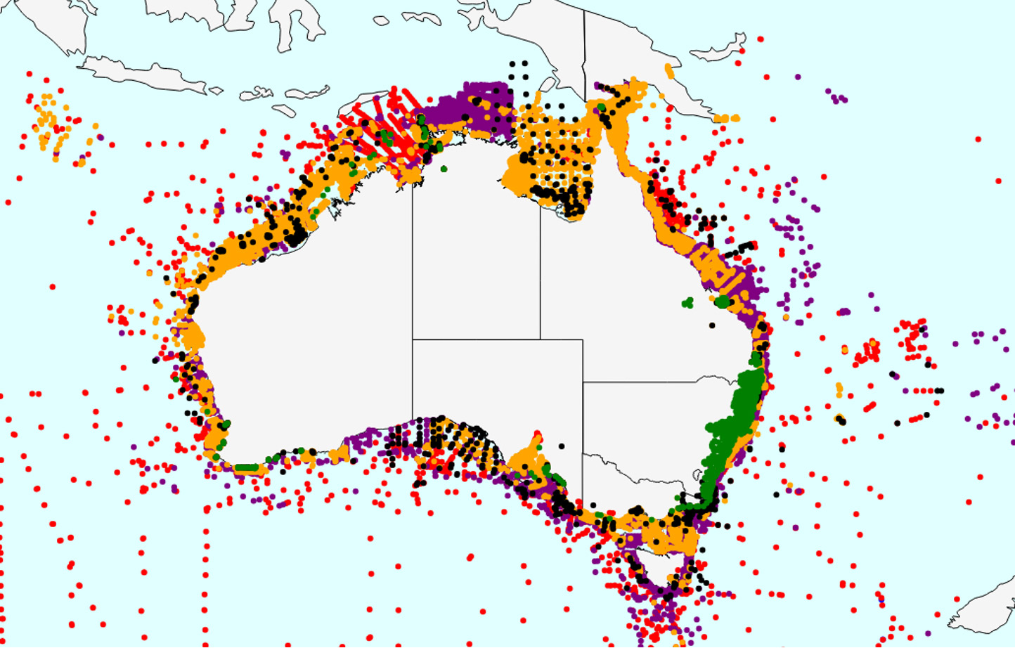
Australia's MARine Sediment (MARS) database contains information compiled from thousands of sediment samples collected by more than 40 organisations over many decades.
The MARine Sediment (MARS) database: Australia's sediment archive
Over decades, governments, researchers and industry have collected thousands of sediment samples from Australia's maritime jurisdiction. Geoscience Australia's MARine Sediment (MARS) database brings this information together into one of Australia's most important marine geoscience resources.
MARS contains information about sediment grain size, composition and seabed characteristics collected from across Australia's oceans. By bringing these observations into a consistent national dataset, MARS supports research into marine habitats, sediment movement, environmental change and Australia's geological history.
The database provides a critical foundation for marine research, environmental assessments, seabed mapping and marine planning.
Looking under the surface: sub-bottom profiling
While bathymetry and backscatter build a picture of the surface of the seabed, sub-bottom profiles allow scientists to look beneath it.
Sub-bottom profiling uses low-frequency sound pulses that penetrate below the seabed and reflect from buried geological layers. By analysing these reflections, scientists can determine the depth, thickness and characteristics of subsurface layers.
This data can help identify buried channels, ancient river systems, sediment layers, gas accumulations, landslides and other geological features.
Sub-bottom profiling helps identify stable ground for offshore infrastructure such as cables, pipelines and renewable energy structures, while also revealing geological hazards that may affect engineering, environmental management and marine planning.
Geoscience Australia, through the AusSeabed collaborative initiative, has developed and released Australian Sub-bottom Profiling Guidelines to standardise data acquisition and publication across Australian waters.
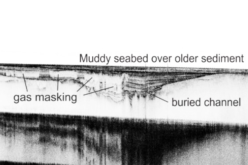
Australian shallow-water sub-bottom profile, showing 'gas masking' suggesting that some fluids, including CO2 gas, are escaping to the seabed.
Photos and video imagery
Sometimes the best way to capture seabed knowledge is simply to see it.
Underwater cameras, remotely operated vehicles (ROVs), autonomous underwater vehicles (AUVs) and drop cameras provide direct visual observations of marine environments.
Imagery helps scientists identify habitats, organisms and geological features while providing visual context for other datasets. Visual observations are often used to verify, or ‘ground-truth’, interpretations made from sonar and other remote sensing techniques.
Increasingly sophisticated tools are available for the curation, sharing and annotation of marine imagery. Geoscience Australia and other partners supported the development of Squidle+, a software platform that simplifies the management, discovery and annotation of marine imagery across the globe.
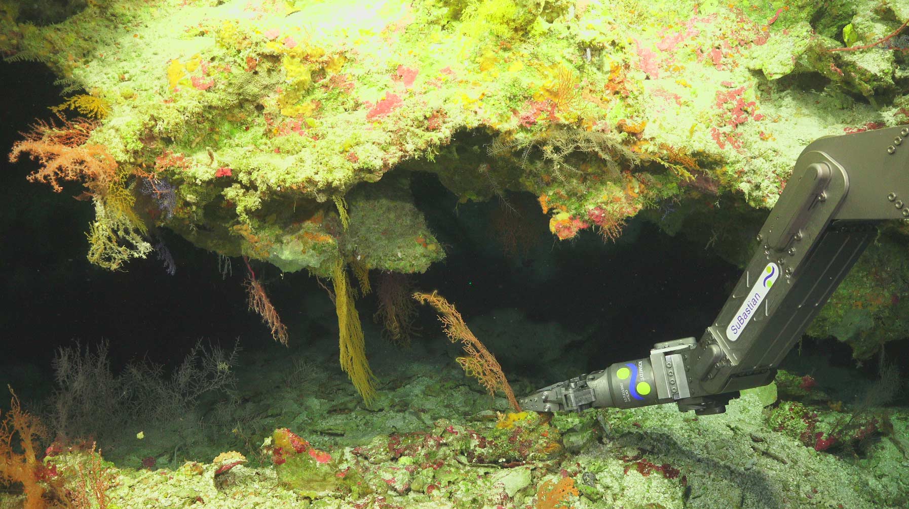
Remotely operated vehicles can capture high-resolution imagery of the seabed thousands of metres below the surface, precisely locating seabed features and revealing previously unseen marine environments. This shot was captured during a Geoscience Australia-led voyage on-board the RV Falkor (Schmidt Ocean Institute).
Historical seismic data
Historically, Geoscience Australia conducted marine seismic surveys to map the geology beneath Australia's seas. These surveys used acoustic equipment and seismic waves to image geological structures below the seabed.
Although Geoscience Australia no longer acquires marine seismic data, these historical datasets remain a valuable scientific resource. They support research into subsurface geology and Australia's offshore environments.
Archives are made accessible through the National Offshore Petroleum Information Management System and include decades of seismic surveys and marine geological information collected by industry, government and research organisations.
Blue geoscience for better decisions
Every observation adds another layer of knowledge about Australia's marine environment.
Together these datasets provide insights into what the seabed is made of, how it formed, and how it continues to change. By combining evidence from samples, imagery and geophysical observations, we’re creating a more detailed view of Australia's marine environment and providing the information needed for informed management, research and sustainable ocean use.
Learn more
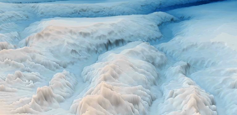
Discover how bathymetry data is collected and why it provides the foundation for navigation, marine planning, hazard assessment and ocean science.
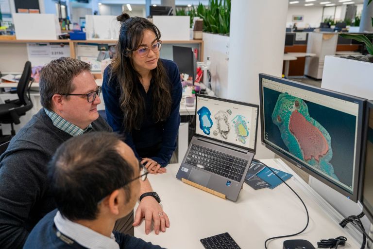
By interpreting the patterns and features revealed through seabed mapping, scientists can understand how ocean features formed, how they function, and how marine environments are connected.
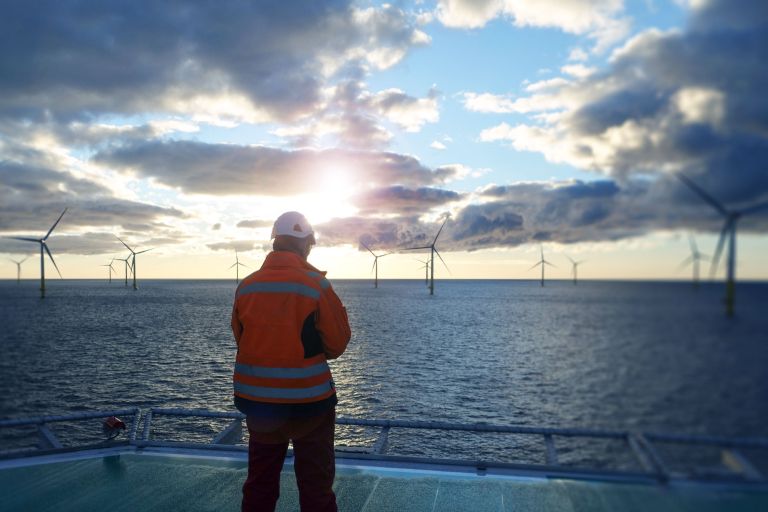
Our trusted marine information helps Australia plan, manage and understand emerging offshore renewable energy environments — ensuring secure foundations for a future industry.