Showcasing our work Promoting a common language for the seabed
Page last updated:27 August 2026
Through a series of roadshows and seminars around the country, the Geoscience Australia team is promoting a simple message: to better manage and protect our marine environment, a national approach to seabed science is essential.
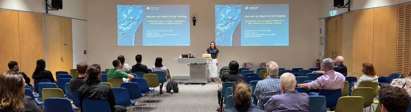
From Tasmania to North Queensland, representatives from Geoscience Australia’s Oceans, Reefs, Coasts and Antarctic (ORCA) branch are meeting with government, industry and research partners to promote a nationally consistent approach to seabed mapping and the interpretation of seabed features.
“We’re bringing the seabed to the surface for decision-makers around the country,” says Geoscience Australia’s Director of Marine and Coastal Geoscience Donna-marie Audas.
“By combining new data, improved modelling and common approaches to interpreting the seabed, we're making it easier for stakeholders to use this information in planning and management.”
This work supports more informed ocean and coastal management, from marine park planning to renewable energy development and ocean economics.
“With less than 10 per cent of Australia’s continental shelf mapped in sufficient detail, we need to make the most of every survey and every dataset," Audas says.
"This means ensuring information collected by different organisations can be used together."
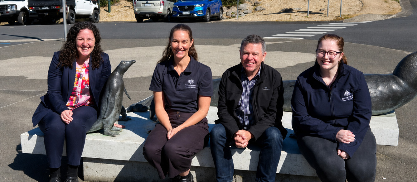
The roadshows are helping introduce new marine geomorphology frameworks developed by Geoscience Australia in collaboration with the International Association of Geomorphologists (IAG).
These include shared classification systems, digital vocabularies and mapping tools that support a consistent approach to describing and interpreting seabed features.
A National Marine and Coastal Geomorphology Working Group has also been established, with an inaugural meeting held in July 2026. The group will meet quarterly to help ensure decision-makers are working from the best available information and shared expertise.
“We're bringing people together to share knowledge and experience, identify common challenges, and avoid reinventing the wheel,” Audas says.
“By working across government and disciplines, we can build more consistent approaches to understanding and managing seabed information.”
Discover more
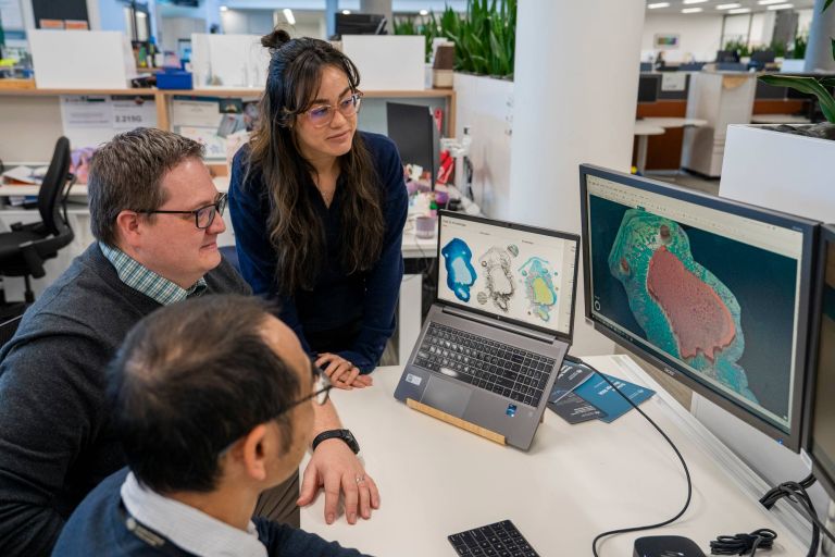
By interpreting the patterns and features revealed through seabed mapping, scientists can understand how ocean features formed, how they function, and how marine environments are connected.
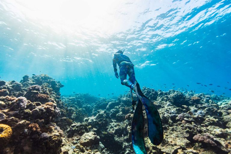
Australia's ambition to protect and conserve 30 per cent of its oceans by 2030 calls for the best available seabed mapping, geospatial information and marine geoscience.
The landmark Resourcing Australia’s Prosperity initiative is an ambitious endeavour. It will use innovative data, research and analysis to assess national potential for a broad suite of the resources critical to the net zero transition, supporting a strong resources and energy sector.