Knowledge article How do seabed surveys work?
Page last updated:27 August 2026
Seabed surveys use a variety of technologies to collect data about the ocean floor. This data is turned into seabed mapping data products that are foundational for marine research and ocean management. Geoscience Australia, through the AusSeabed collaborative initiative, helps coordinate seabed surveys around Australia.
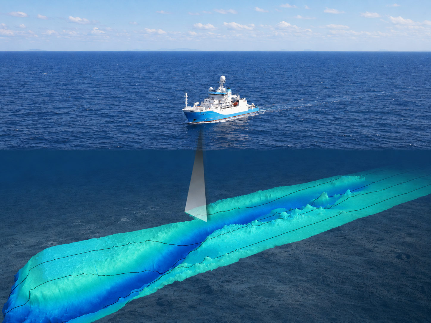
“Mowing the lawn”: Survey vessels such as the RV Investigator collect ‘swaths’ of data — enroute to final destinations, or over targeted areas in planned patterns, much like you might mow the lawn. This image shows how swaths of data collected by a vessel-mounted multibeam sonar system capture the water depth and shape of the seabed over a large area.
A patchwork approach to mapping the seabed
Unlike terrestrial landscapes, the ocean floor cannot be observed directly across large areas. Mapping the seabed is technologically challenging and expensive, so surveys typically cover relatively small areas, especially in shallow coastal waters.
Every one of these surveys provides a small window into Australia's marine environment.
When thousands of surveys are brought together, they create a much richer view of our oceans and coasts at a regional or national scale — revealing patterns, features and relationships that would otherwise remain unseen.
What information is collected?
Modern surveys often collect multiple types of information at the same time.
These may include:
- Bathymetry – reveals water depth and seabed shape.
- Seabed sediments – help identify what the seabed is made of.
- Backscatter – indicates variations in seabed hardness and texture.
- Sub-bottom profiles – reveal layers beneath the seabed surface.
- Photos and video imagery – help visually identify seabed features.
Each dataset provides a different perspective on the marine environment — identifying unrecorded coral reefs, ancient submerged features, marine habitats and geological processes previously unknown.
Who collects seabed information?
No single organisation can map Australia's oceans alone. Progress depends on cooperation, shared standards and open access to information.
Seabed mapping data is acquired in surveys by:
- Australian Government agencies, such as CSIRO, the Australian Hydrographic Office, the Australian Antarctic Division, the Australian Institute of Marine Science, and Geoscience Australia.
- State and territory government agencies
- Research organisations
- Commercial vessels
- Philanthropic organisations
- Other national governments.
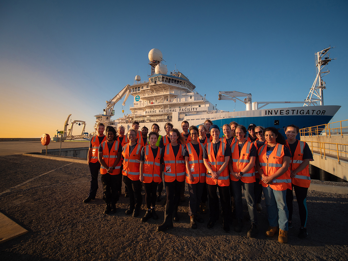
The RV Investigator is a dedicated Australian ocean research vessel operated by CSIRO through the Marine National Facility. Equipped with advanced mapping and sampling technologies it often collects seabed and other data that are included in Geoscience Australia data products.
Coordinating survey efforts
AusSeabed is a national collaborative initiative led by Geoscience Australia that brings together government, academia, industry and the broader seabed mapping community to coordinate seabed mapping activities.
The AusSeabed Survey Coordination Tool helps organisations coordinate survey activity by sharing planned surveys and mapping priorities, identifying areas of common interest and finding opportunities to collaborate. This helps reduce duplication, improve seabed mapping coverage and make the most of survey effort across Australia.
Promoting best practice
AusSeabed also develops and promotes best practice guidance to improve the consistency and quality of seabed data collected across Australia. Covering survey design and techniques including multibeam sonar, satellite-derived bathymetry and sub-bottom profiling, these shared approaches help ensure data collected by different organisations can be integrated, compared and reused.
See the Relevant Guidelines.
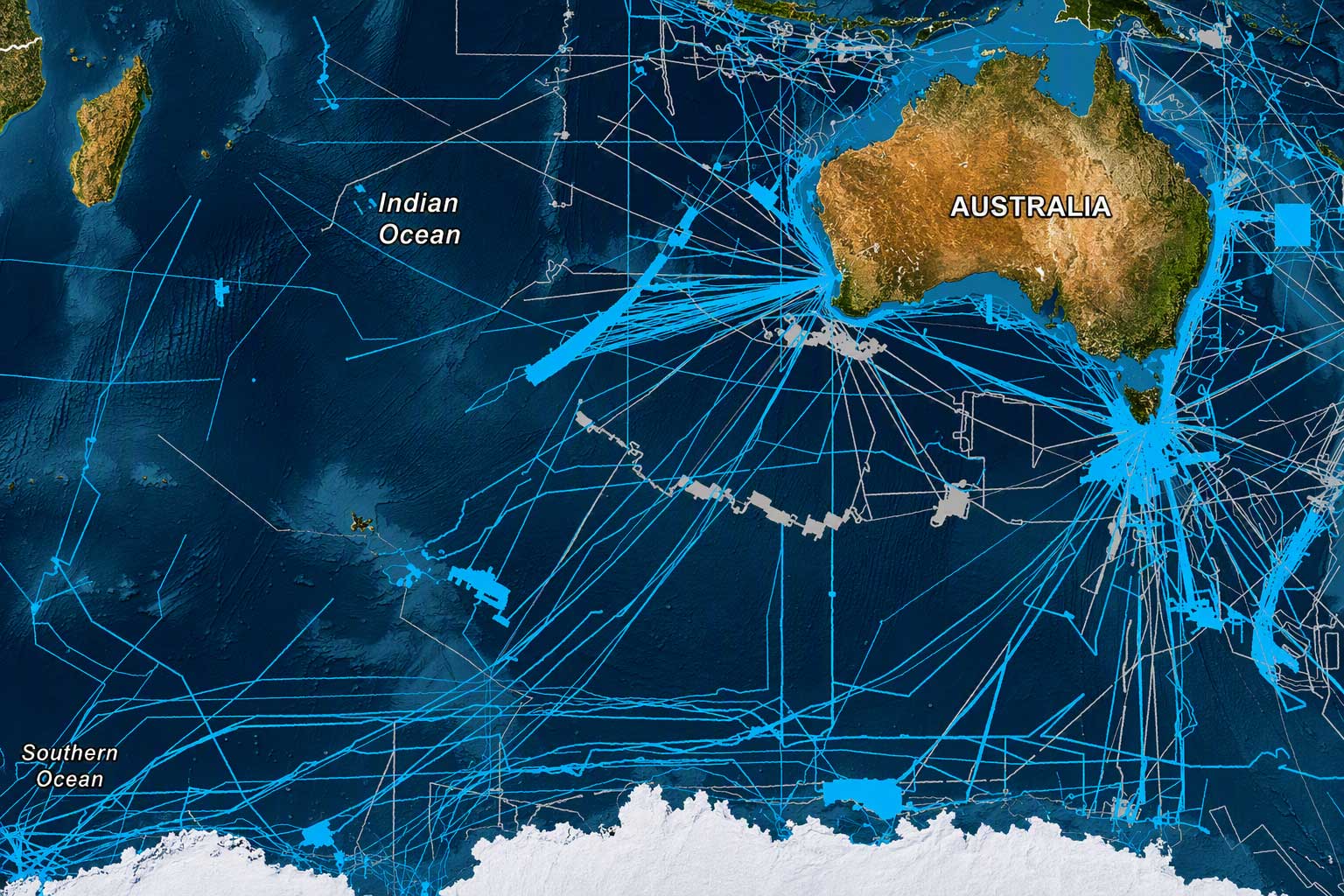
The path to knowledge is paved by many vessels. As research and other vessels travel Australia's waters, the swaths of seabed mapped beneath them combine to reveal an increasingly detailed picture of our underwater landscapes.
From data to discovery
Every survey adds another piece to our picture of Australia — and the world's seabed.
Through AusSeabed and national seabed mapping programs, Geoscience Australia contributes to global efforts to improve understanding of the ocean floor through initiatives such as the General Bathymetric Chart of the Oceans (GEBCO) and The Nippon Foundation-GEBCO Seabed 2030 Project.
Together, survey observations collected over decades reveal the landscapes, systems and processes that shape our oceans and coasts.
Learn more
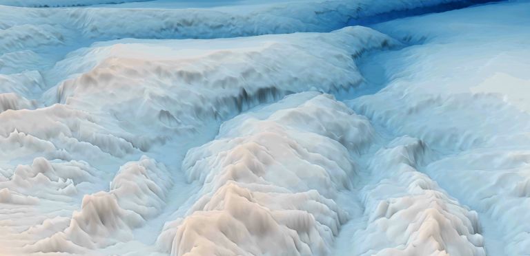
Discover how bathymetry data is collected and why it provides the foundation for navigation, marine planning, hazard assessment and ocean science.
Every year, new surveys, improved technologies and the digital recovery of historical data help reveal a more complete picture of Australia's seabed.

The AusSeabed Survey Coordination Tool is attracting growing recognition as a practical solution to one of marine mapping's enduring challenges: coordinating survey activity across a vast and busy marine estate.