About Geoscience Australia

Grounded in long-term Australian government, science and research priorities, the Geoscience Australia enterprise strategy charts how our applied geoscience will help Australia navigate complex national challenges and create benefits for generations to come.
A range of documents govern our operations and provide information about our projects and initiatives.
Our strength lies in our people and our diversity in backgrounds. Geoscience Australia offers a variety of scientific, technical, IT and administrative roles.

Geoscience Australia's management structure.

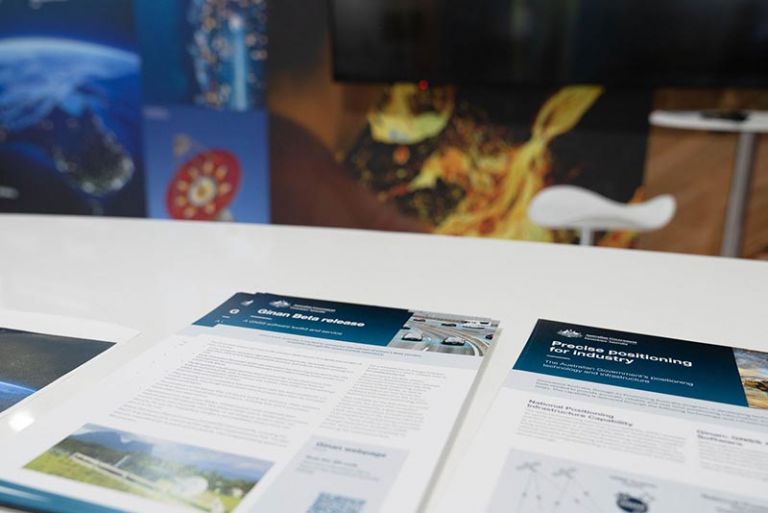
Explore current projects delivering applied geoscience across Australia.

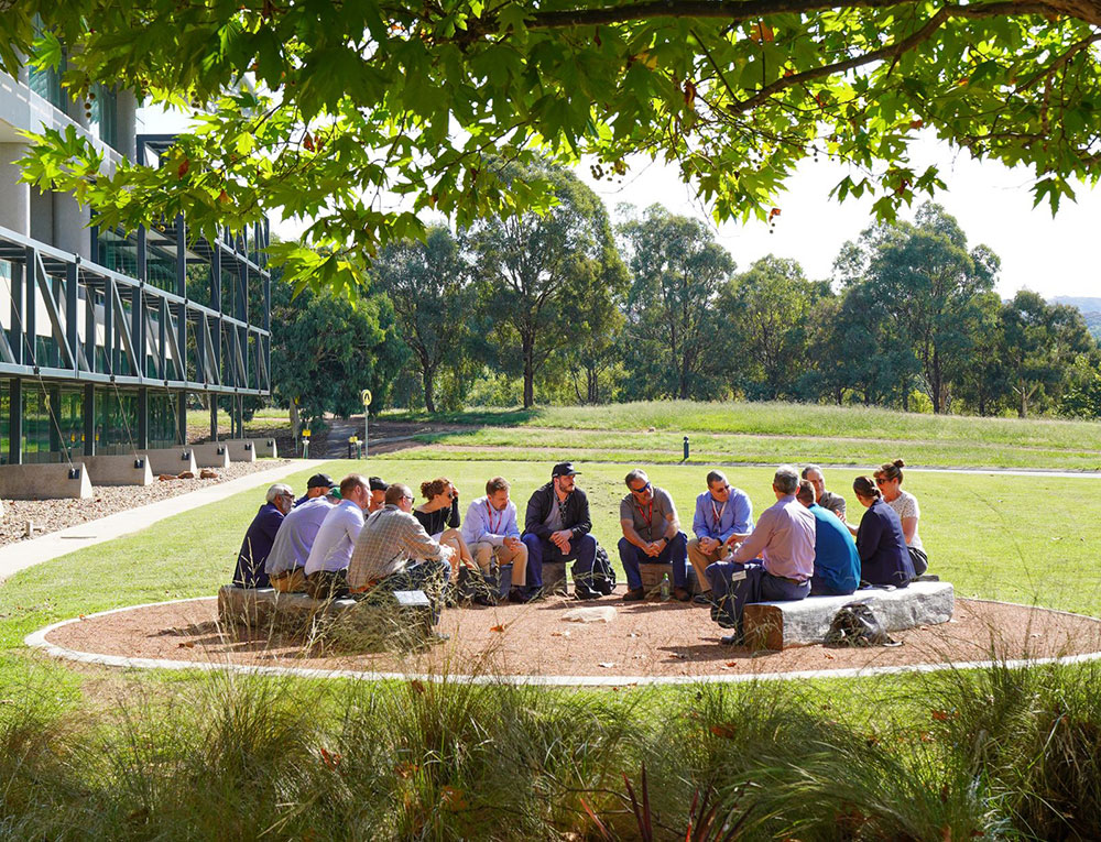
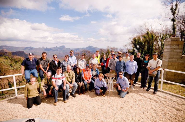
Geoscience Australia participates in cooperative projects at all levels of government and industry.
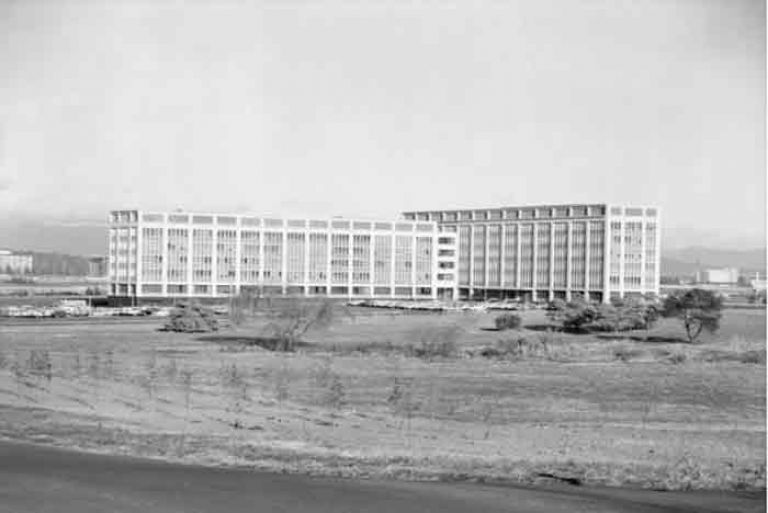
Geoscience Australia's history dates back almost to Federation in 1901 when it was decided to set aside land for the national capital.
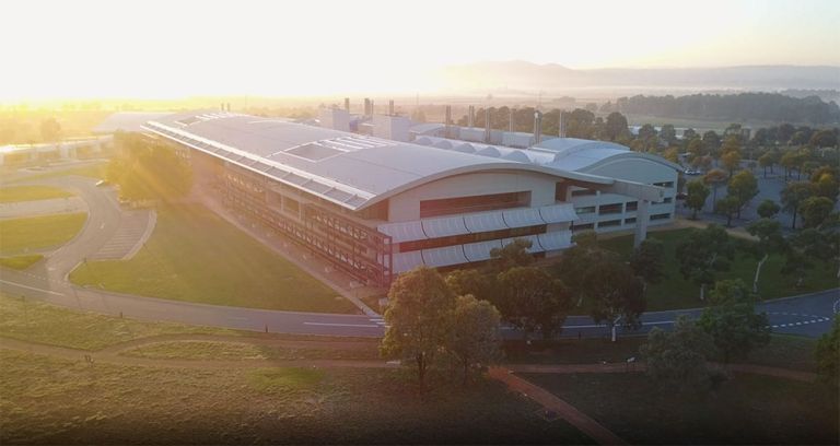
Learn about our purpose-built Canberra headquarters and its facilities.
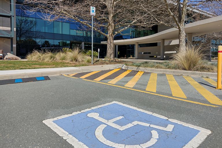
Information on visiting our public displays, education centre, and other facilities.
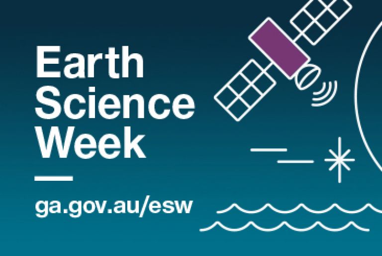
Geoscience Australia has something for everyone this Earth Science Week, whether you want to host your own event, attend an event, or show your support online.
Join our community
News and events
Find out the latest news, public talks and events and what’s happening in your community.
Get in touch
Have a question about Geoscience Australia or need help with using our data? Email us at clientservices@ga.gov.au or
call 1800 800 173.
Stay informed
Subscribe to some of Geoscience Australia's program newsletters to receive regular updates on, new data releases, publications, latest industry research and events.