Coastal maps, data and products We join land and sea to better understand the coastal zone
Australia's extensive coastline is one of the most dynamic environments on Earth, constantly reshaped by waves, tides, storms and climate change. Geoscience Australia integrates satellite observations, coastal mapping, seabed information and geospatial analysis to generate insights that inform decisions about this changing landscape.
Page last updated:27 August 2026
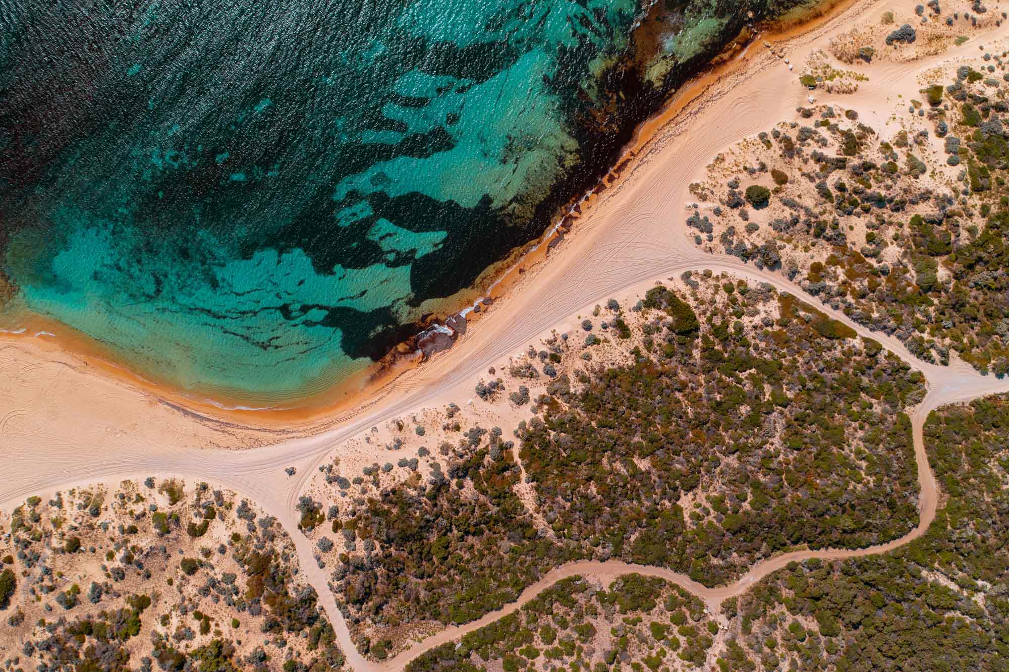
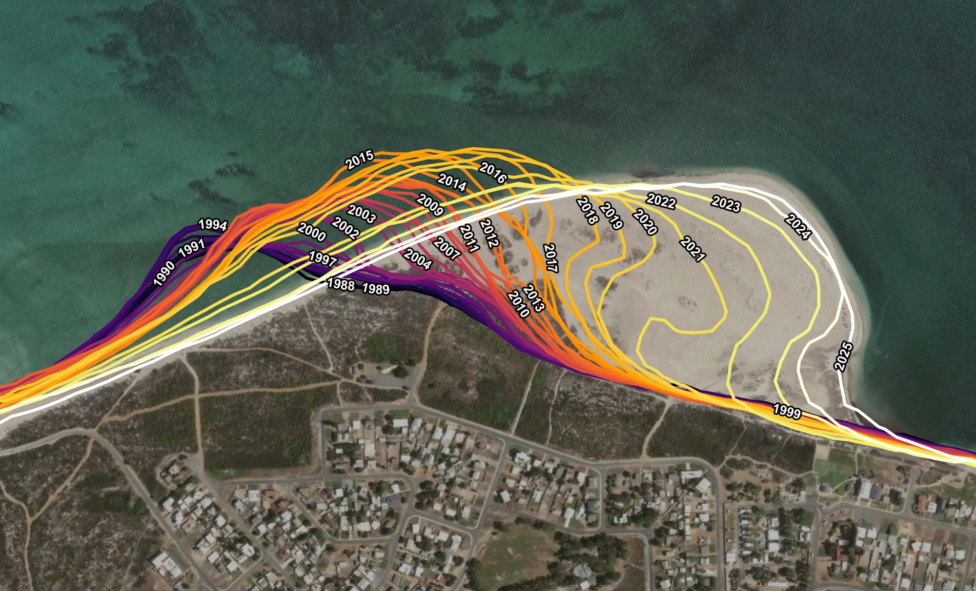
Tracking coastal change with satellite data
Understanding coastal change begins with long-term observation.
Through the Digital Earth Australia program, Geoscience Australia transforms decades of satellite imagery into accessible datasets that reveal how Australia's shorelines, intertidal environments and coastal ecosystems are changing over time.
These products support coastal planning, environmental management, scientific research and climate adaptation.
Discover:
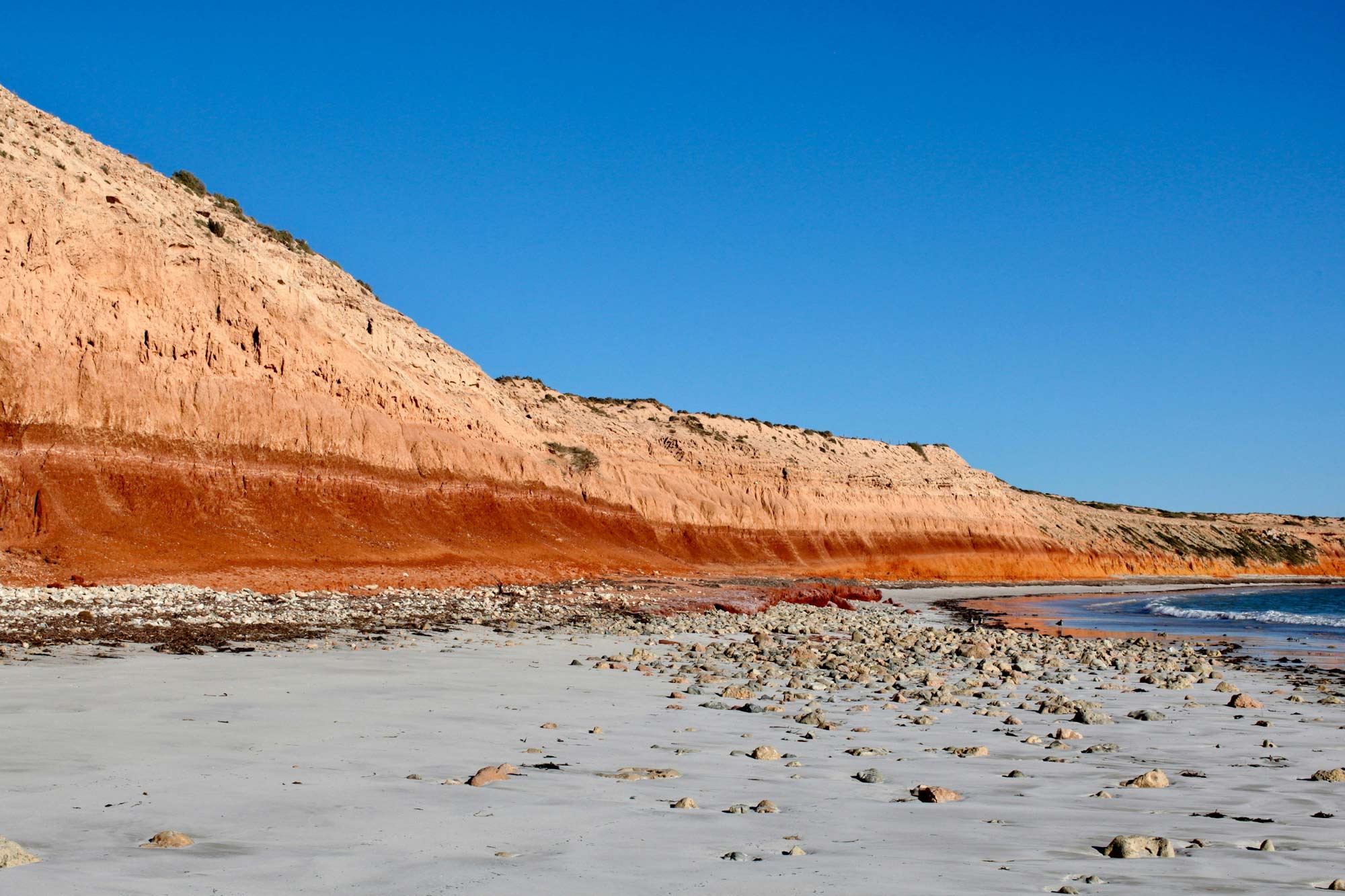
Defining coastal baselines for maritime boundaries
Coastlines can be measured and understood in many ways, depending on how they're used.
When it comes to determining the extents of Australia’s maritime jurisdiction and zones, and where rights and responsibilities apply at sea, authoritative coastal geographic reference points are essential.
Establishing these reference points relies on geoscience, geospatial science, coastal mapping and law.

Supporting community safety on our coasts
Geoscience Australia’s Community Safety team offers a range of scientific tools and insights to help emergency services plan and prepare for natural hazards, with the goal of reducing their impact when they do occur.
These include resources that help Australia better understand and manage the risks and impacts of tsunamis and floods, improving preparedness now and into the future.
See the data and products
What happens when tsunamis strike Australia?
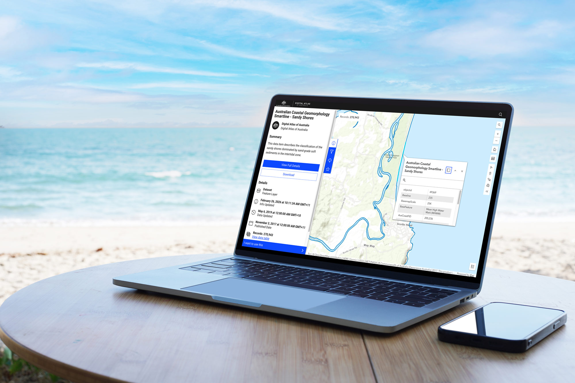
Explore layers of coastal information
Geoscience Australia collaborates with government and research agencies to develop nationally consistent information describing Australia's diverse coastal environments.
The Australian Coastal Geomorphology (Smartline) dataset maps coastal landforms and their relative sensitivity to change — from sandy beaches and dunes to muddy shores and intertidal estuaries.
The Digital Atlas of Australia lets you explore, analyse and visualise this coastal information by location alongside other trusted national datasets. Create custom maps by combining data from the Digital Atlas with your own to uncover new insights.
Access all of Geoscience Australia’s coastal data
There are many ways to discover and use our data and publications.

Geoscience Australia Data and Publications Search
Find and access Geoscience Australia's digital products in one catalogue — including data, maps, publications and services, from historical records to the latest datasets.

Geoscience Australia Web Services
Connect to select datasets through web services that let GIS and other applications access and display data directly, without need for download.

AusSeabed Marine Data Portal
Access our extensive database of bathymetry, backscatter, seabed sediment information, including the AusBathyTopo depth and elevation grids.
Digital Atlas of Australia
A central online platform bringing together, curating and connecting trusted national datasets from across government. The interactive maps and tools in the Digital Atlas allows you to explore, analyse and visualise data on Australia’s geography, people, economy, and the environment by location.