Maritime jurisdiction Our maritime jurisdiction advisory role
Geoscience Australia provides geoscience advice that supports the management and communication of Australia's maritime jurisdiction, including provision of geospatial data, online tools, and maps to visualise Australia’s offshore domain.
Page last updated:27 August 2026
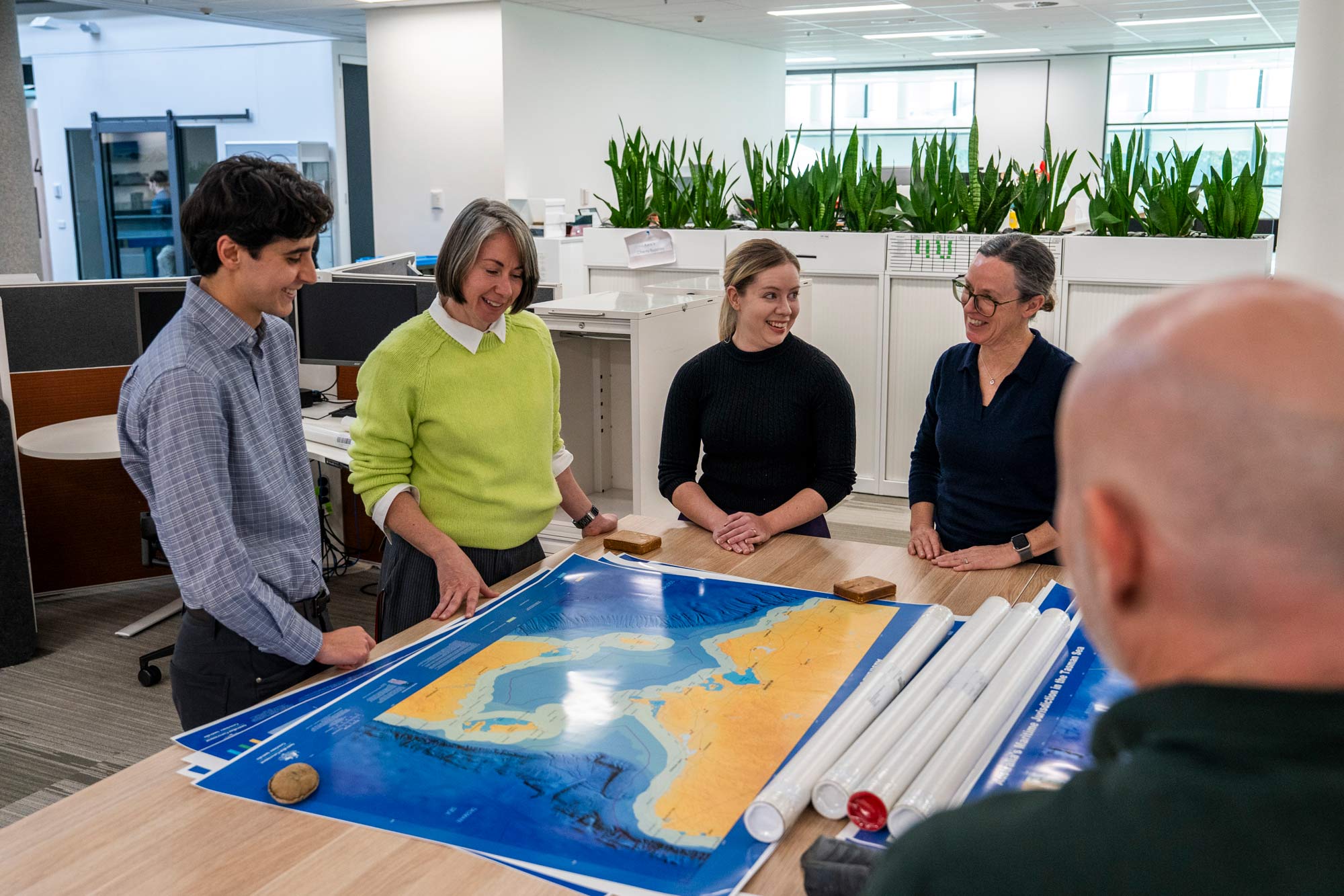
Australia’s maritime jurisdiction encompasses 13.86 million square kilometres of ocean. This extensive marine estate supports shipping, fisheries, offshore energy, environmental stewardship, scientific research, national security and other activities essential to Australia's future.
For governments, industry and the community to understand where Australia’s rights and responsibilities apply, legislation must be translated into forms that non-expert users can understand. These includes trusted geographic information, online mapping and visualisation tools and Australia’s official maps and figures.
Supporting government and the nation
Geoscience Australia helps make Australia's maritime jurisdiction visible and available to support informed decisions.
Our work includes:
- Applying geoscientific knowledge to the legal definitions that realise all of Australia’s offshore jurisdiction.
- Providing advice to the drafters of new legislation that includes geographic definitions.
- Maintaining Australia's maritime jurisdiction geospatial datasets.
- Providing technical advice on maritime jurisdiction and maritime zones.
- Maintaining the Australian Marine Spatial Information System (AMSIS) to ensure maritime boundaries are easily accessible.
- Contributing expertise to whole-of-government maritime initiatives.
We work closely with the Department of Foreign Affairs and Trade, the Attorney-General's Department, the Australian Hydrographic Office, State and Territory governments and many other partners to ensure Australia's maritime jurisdiction information remains accurate, consistent and available.
Providing clarity through change
As Australia’s coastal and marine landscapes change and new technologies improve our knowledge of these environments, the geographic information supporting maritime jurisdiction must remain accurate, trusted and fit for purpose. Legislation, international agreements and jurisdictional arrangements also continue to evolve alongside society's changing relationship with the ocean.
By combining maritime jurisdiction expertise with seabed mapping, coastal science, marine geospatial information and Earth observations, Geoscience Australia maintains the trusted geographic foundation that supports Australia's rights and responsibilities at sea — today and tomorrow.
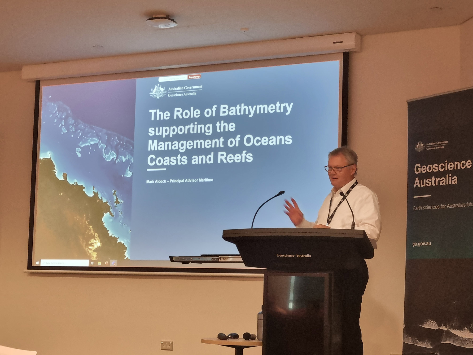
Geoscience Australia Principal Advisor Maritime Mark Alcock led the program that established the scientific and technical framework for Australia’s international and domestic maritime boundaries under United Nations Convention on the Law of the Sea.
Collaborating with regional and international partners
Working with Australian Government agencies and regional partners, Geoscience Australia shares technical expertise and best practice approaches that support Pacific and Southeast Asian partners in managing and communicating their maritime jurisdiction information.
Geoscience Australia also represents Australia in global forums that advance geospatial standards, data interoperability and the consistent interpretation of maritime boundaries, including leading Australian delegations to the United Nations Committee of Experts on Global Geospatial Information Management (UN-GGIM).
Together, this work strengthens regional capability, supports the peaceful administration of shared marine areas, promotes internationally consistent approaches to maritime jurisdiction, and helps Australia and its neighbours respond to emerging challenges such as climate change and sea-level rise.
Related resources
The framework that shapes Australia’s maritime jurisdiction
International laws and Australian legislation provide the legal framework that defines Australia's maritime boundaries, maritime zones and rights at sea.
How Australia's maritime boundaries are calculated
Australia's maritime zones are measured from the territorial sea baseline under the UN Convention on the Law of the Sea. Establishing baselines relies on geoscience, geospatial science, coastal mapping and law.
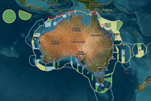
Australian Marine Spatial Information System
AMSIS connects geography with legislation, maritime boundaries and regulatory frameworks, providing an accessible, trusted view of what applies where across Australia’s marine domain.