Boundaries Knowledge Hub Learn about Australia’s maritime boundaries

What is Australia’s maritime jurisdiction?
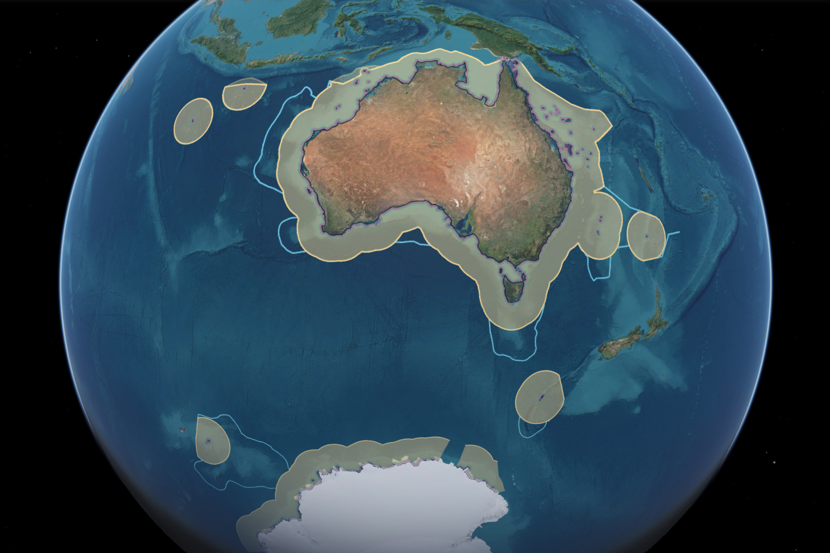
Australia has one of the largest maritime jurisdictions in the world — a vast marine estate with an area of 13.86 million square kilometres, including the waters surrounding Australia's external territories and the Australian Antarctic Territory.
Within this jurisdiction, a series of maritime zones help define where Australia may manage marine resources, protect the environment, undertake scientific research and exercise other rights recognised under international law.
How Australia’s maritime boundaries are determined
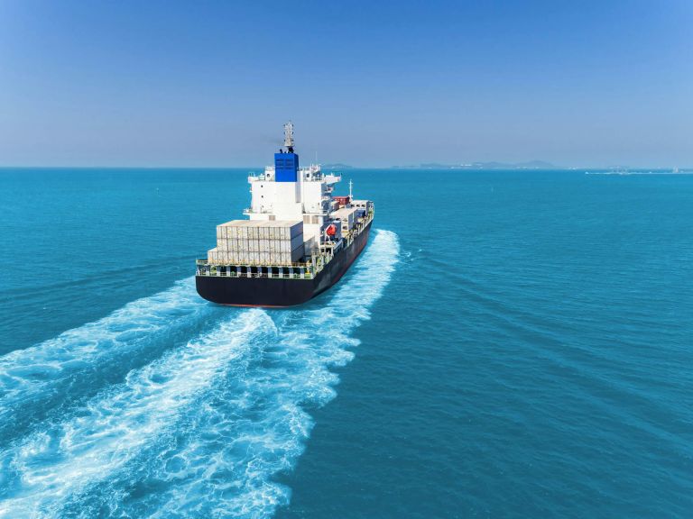
International laws and Australian legislation provide the legal framework that defines Australia's maritime boundaries, maritime zones and rights at sea.

Australia's maritime zones are measured from the territorial sea baseline under the UN Convention on the Law of the Sea. Establishing baselines relies on geoscience, geospatial science, coastal mapping and law.
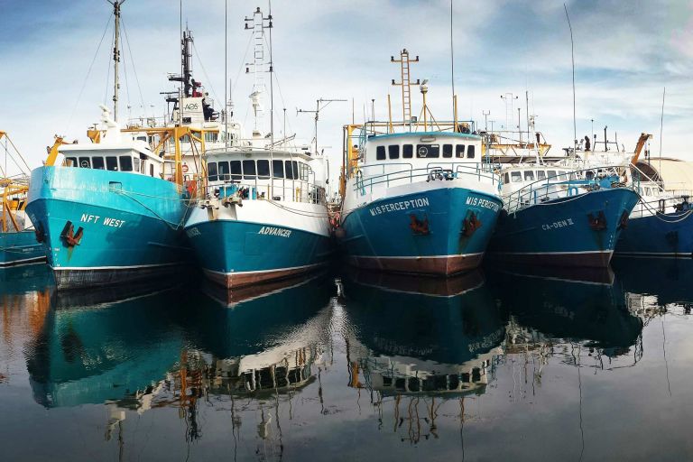
Australia's maritime zones define where different rights, responsibilities and obligations apply across Australia's maritime jurisdiction.
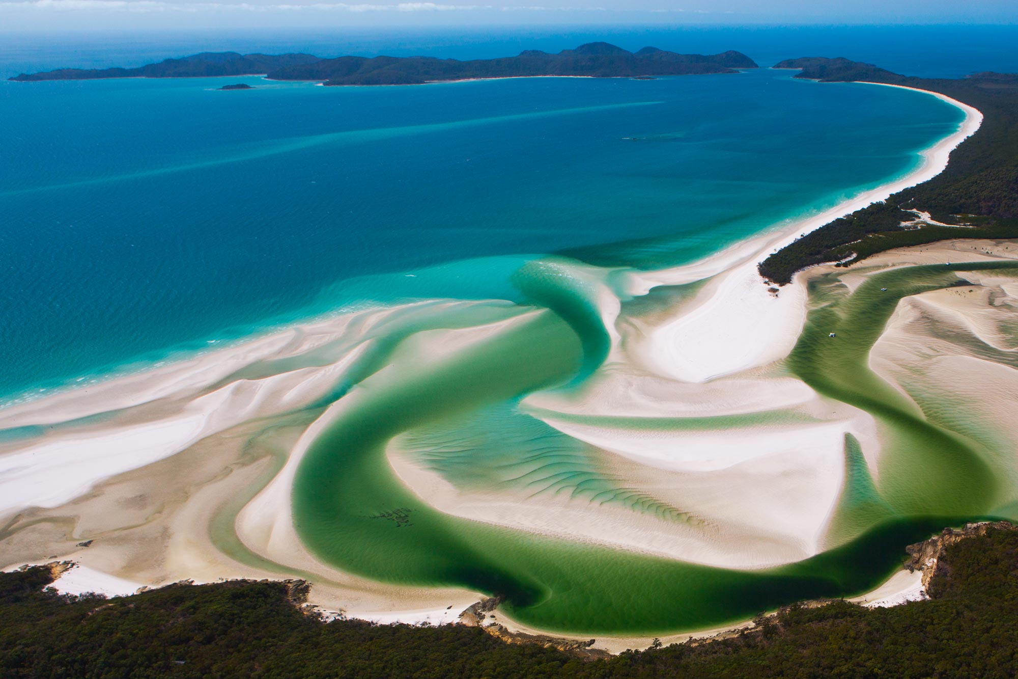
How long is Australia's coastline? And other FAQs
Australia's marine and coastal environments are among the largest and most complex in the world.
Understanding them depends on trusted geographic information, continually improved through advances in Earth science, surveying, satellite observations and geospatial technology.
As Australia's national Earth science agency, Geoscience Australia maintains authoritative information about the nation's land, sea, seabed and coastlines.
Related resources
Seminar: Australia's maritime boundaries in a changing world
Geoscience Australia has the mandated authority for determining the Australia’s maritime jurisdiction and the framework for managing marine resources. Discover how we support marine planning, resource management and decision-making.
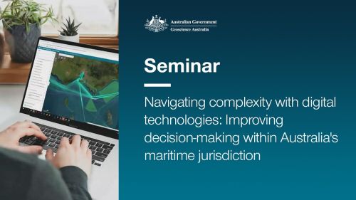
Seminar: Navigating complexity with digital technologies
Learn how AMSIS brings together trusted marine geospatial information to show what applies where across Australia's marine domain. Discover the technology, design principles and thinking behind its development and evolution.

Procedures for Describing Maritime Boundaries
Unambiguous descriptions provide a consistent framework for government departments and agencies involved in the marine area.

Video: Managing Australia's Maritime Jurisdiction
This short video summarises the value of Geoscience Australia's work to manage Australia's maritime jurisdictions, including the Australian Antarctic Territory.