Knowledge article Introducing the framework that shapes Australia’s maritime jurisdiction
Page last updated:27 August 2026
International laws and Australian legislation provide the legal framework that defines Australia's maritime boundaries, maritime zones and rights at sea.
The rights and responsibilities that apply within Australia’s maritime jurisdiction are governed by a framework of international law and Australian legislation that helps nations peacefully share, use and manage the world’s oceans. Among many things the framework provides guidance on:
- measuring maritime zones and boundaries
- defining the rights and responsibilities of coastal states
- managing marine resources, and
- the peaceful settlement of maritime disputes.
Without these shared rules, it would be difficult to manage competing activities such as shipping, fisheries, resource development, marine research and environmental protection.
What is the Law of the Sea?
The Law of the Sea is a body of international rules and principles developed to regulate ocean space, as reflected in the 1982 United Nations Convention on the Law of the Sea (UNCLOS).
Australia participated in all three United Nations conferences on the Law of the Sea (1958, 1960 and 1973-82) and became party to UNCLOS in 1994.
UNCLOS: a constitution for the seas
Sometimes described as a “constitution for the seas”, UNCLOS provides the internationally recognised framework that governs maritime rights and responsibilities around the world. It is the primary international treaty underpinning the modern Law of the Sea.
An international agreement about the sea became necessary when many nations realised the wealth of resources there — especially fisheries and mineral resources. These marine resources are not endless and need to be managed in an effective and sustainable manner.
All of the countries bound by UNCLOS must follow rules about maritime boundaries, access to the various maritime zones and managing the resources and activities within those boundaries.
All member countries of the United Nations are eligible to become a party to UNCLOS, whether or not they have a coast. During the drafting of UNCLOS, the needs of land-locked and geographically disadvantage countries were taken into account.
What is the Seas and Submerged Lands Act?
The Seas and Submerged Lands Act 1973 (SSLA) is the primary Australian legislation that gives effect to the United Nations Convention on the Law of the Sea (UNCLOS) within Australia's legal system.
Proclamations made under the Act establish Australia's key maritime zones, including the territorial sea and exclusive economic zone (EEZ).
These zones define where Australia may exercise specific rights and responsibilities relating to resource management, environmental stewardship, scientific research, maritime safety and offshore administration. The SSLA also establishes how the maritime zones are measured and determined, using a defined territorial sea baseline around Australia's coast.
Arrangements between the Commonwealth, States and Territories
In 1975, the High Court determined in the Seas and Submerged Lands Case that the Commonwealth has sovereignty over waters to the edge of the territorial sea, including the seabed beneath these waters.
Following this decision, the Commonwealth and the states undertook negotiations resulting in the 'Offshore Constitutional Settlement', which deals with Commonwealth and state jurisdiction in the waters to the edge of the territorial sea — as ‘if the breadth of that territorial sea had continued to be 3 nautical miles’.
The settlement also includes arrangements on managing oil, gas and other seabed minerals, the Great Barrier Reef Marine Park, other marine parks, historic shipwrecks, shipping, marine pollution and fishing.
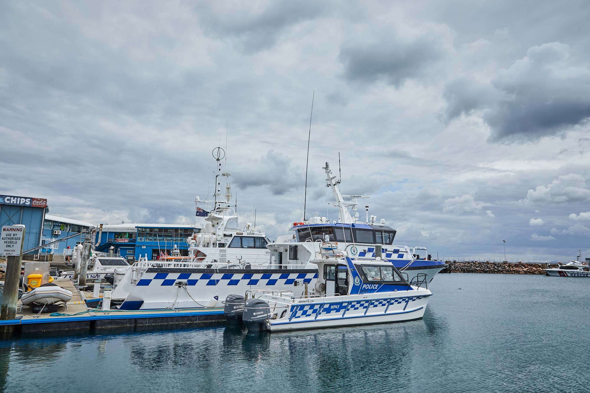
In general, the states and the Northern Territory have responsibility for areas up to three nautical miles from the territorial sea baseline, which are termed 'coastal waters'.
For more, see Offshore Constitutional Settlement.
Additional arrangements have been made between the States and the Commonwealth to support the administration of Australia’s maritime jurisdiction. An important example is the Crimes at Sea Act 2000, which extends the operation of State criminal law throughout Australia’s offshore jurisdiction where required. Similarly, the Offshore Petroleum and Greenhouse Gas Storage Act 2006 sets out arrangements for administrating offshore petroleum and greenhouse gas activities.
Get further detail in Ruling the waves – Regulating Australia’s offshore waters.
Mapping Australia’s maritime treaties
A treaty is an agreement between two or more countries that they will agree to the same set of rules. Australia’s maritime claims are defined in several areas by treaties that have been negotiated with neighbouring countries over the last 50 years.
Australia has negotiated maritime boundaries with:
- Indonesia (1971, 1972, 1997)
- Papua New Guinea (1978)
- Solomon Islands (1988)
- France (1982)
- New Zealand (2004)
- Timor-Leste (2019)
The Department of Foreign Affairs and Trade is responsible for all aspects of Australia’s treaty-making process.
In support of this work Geoscience Australia produces and maintains the Treaties – Australian Maritime Boundaries 2020 dataset, a digital representation of Australia's international treaty boundaries that can also be visualised via the Digital Atlas of Australia and Australian Marine Spatial Information System (AMSIS).
Learn more
Unambiguous descriptions provide a consistent framework for government departments and agencies involved in the marine area.
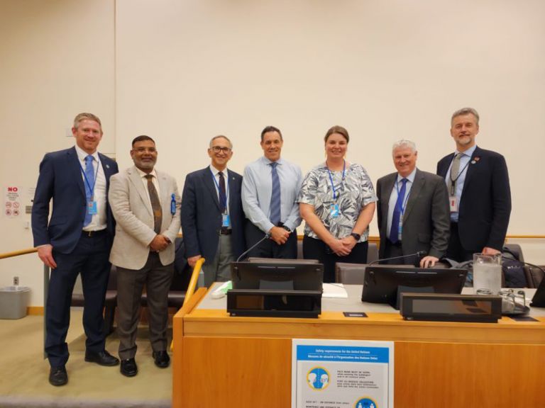
Geoscience Australia recently led the Australian delegation to the 13th session of the United Nations Committee of Experts on Global Geospatial Information Management.

Australia's maritime zones are measured from the territorial sea baseline under the UN Convention on the Law of the Sea. Establishing baselines relies on geoscience, geospatial science, coastal mapping and law.