Insights for impact Shaping Australia's marine parks
For decades, Geoscience Australia has helped build the scientific foundation for Australia's Marine Parks. Today, advances in seabed mapping and marine geomorphology are strengthening the evidence that supports conservation decisions as Australia works towards protecting 30 per cent of its marine environment by 2030.
Page last updated:27 August 2026
The challenge
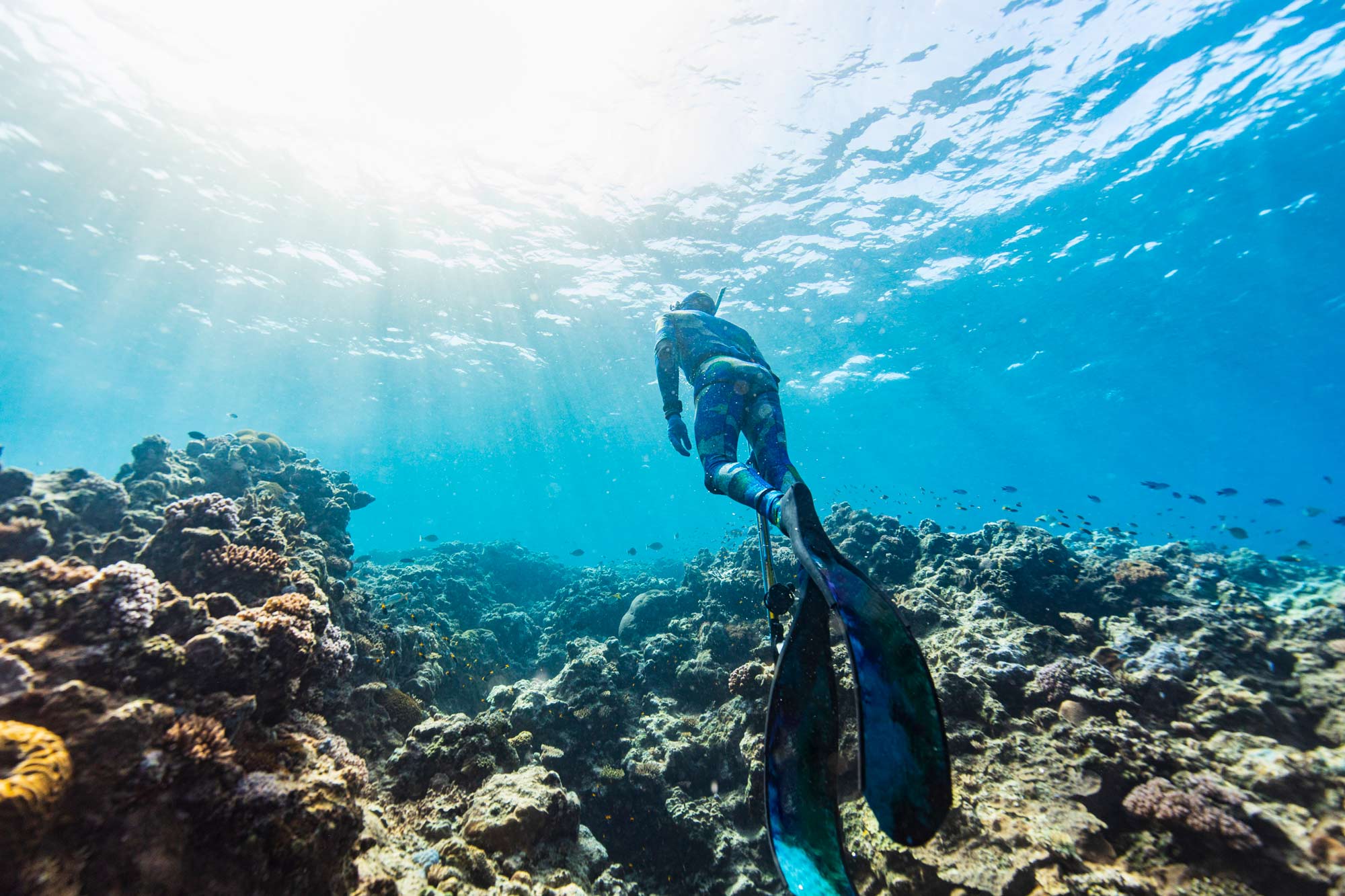
Australia's network of 60 Marine Parks covers almost four million square kilometres of ocean, protecting ecosystems that range from shallow coastal reefs and continental shelves to deep abyssal plains. Across such vast and remote areas, direct biological observations can be difficult to obtain.
Seabed depth, shape and characteristics can provide important clues to where different habitats and ecosystems may occur. Over many years, Geoscience Australia’s interpretation of seabed features has helped identify areas of ecological significance and supported conservation decisions in marine parks.
Today, as Australia works towards protecting 30 per cent of its marine environment by 2030, consistent, high-quality seabed information is increasingly important for park planning, management and statutory reviews.
Building the evidence base
Geoscience Australia integrates bathymetry, seabed sediment data, acoustic backscatter, seabed imagery, and other marine data from many organisations. Together, these datasets reveal the depth, shape and characteristics of the seabed, providing physical context for marine habitats and ecosystems.
This knowledge supports environmental assessment, ecological monitoring and benthic habitat mapping — helping scientists map the habitats and communities found on and around the seabed.
Our Earth observation and remote sensing capabilities add insights from space, while the Australian Marine Spatial Information System (AMSIS) and Digital Atlas of Australia put Australia’s Marine Park boundaries and geospatial data at the fingertips of managers and planners.
Geoscience Australia’s seabed maps provide spatial context for research into marine habitats and species. Here, we worked with the Schmidt Ocean Institute and universities in Australia and internationally to investigate mesophotic (30 –150 m) and deep-water coral communities in the Coral Sea Marine Park.
A common language for seabed features
As the volume and diversity of marine data grow, so too does the need for consistent methods of analysis. Marine geomorphology provides a common language for the description and interpretation of seabed features.
By classifying the shape and origin of these features, marine geomorphology helps explain how underwater landscapes influence habitats and ecosystems. Reefs, seamounts, canyons and continental shelves create different physical environments that influence where habitats develop and species occur.
We work with Australian and international partners to develop geomorphology classifications, vocabularies and mapping approaches. These shared approaches allow seabed features mapped by different organisations, at different times and with different technologies, to be classified and interpreted consistently across Marine Parks.
Turning science into management
The Parks Australia Natural Values Ecosystems dataset provides a nationally consistent description of marine ecosystems to help managers assess how well parks are protecting their natural values, track ecosystem change and identify emerging pressures.
Geoscience Australia's AusBathyTopo grids provide a spatial foundation for this data, enabling parks managers to integrate ecosystem information with seabed data across Australia's Exclusive Economic Zone (EEZ).
Finding and filling knowledge gaps
Working with Parks Australia, we assess the quality of bathymetry and seabed imagery across Marine Parks and management zones to identify where existing data can support detailed geomorphology and habitat mapping — and where important gaps remain.
This helps identify where existing evidence is sufficient for park reviews and management, where additional information is needed, and where future seabed surveys could add the greatest value.
The AusSeabed Survey Coordination Tool supports this effort by helping organisations coordinate planned surveys and target new mapping towards priority knowledge gaps.
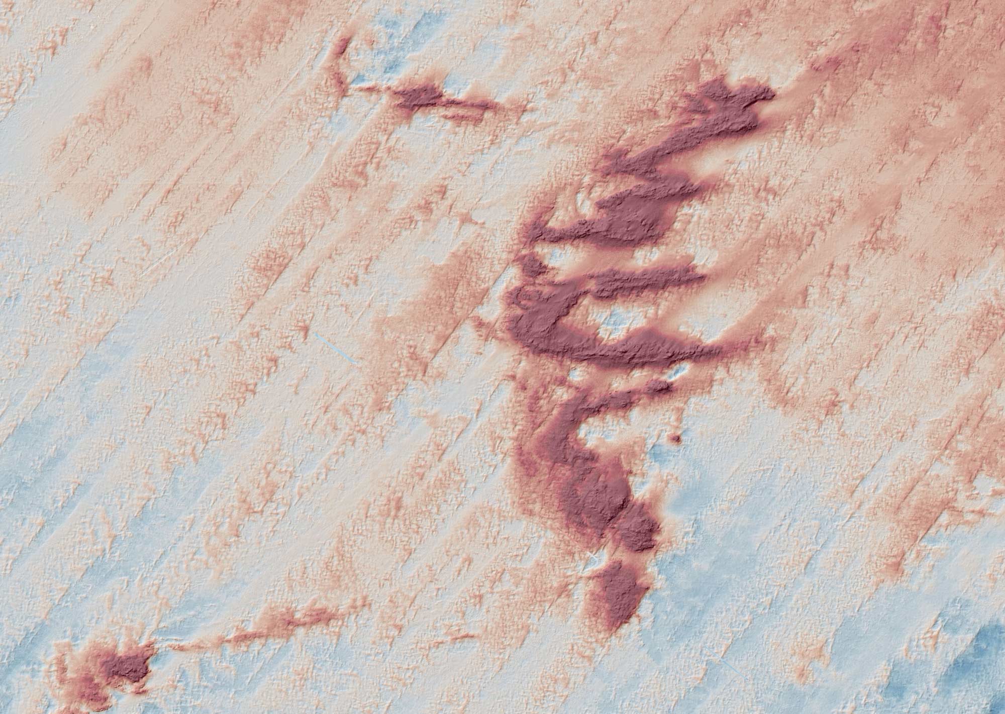
High-resolution mapping in Beagle Marine Park has revealed previously undefined seabed features, including ancient solidified dune systems, adding new detail to our knowledge of the physical environments within the park.
A stronger foundation for conservation
As Australia's Marine Parks evolve, continued mapping and interpretation of the seabed will reveal more about the environments they protect and where important knowledge gaps remain.
From seabed features to habitats and ecosystems, geoscience provides a physical foundation for marine conservation.
Discover more
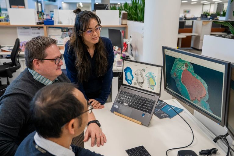
By interpreting the patterns and features revealed through seabed mapping, scientists can understand how ocean features formed, how they function, and how marine environments are connected.
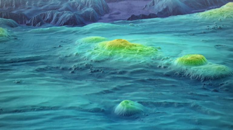
Explore how bathymetry and seabed mapping reveal the shape of Australia's marine world. This playlist showcases Geoscience Australia's work to map, understand and manage the seabed.
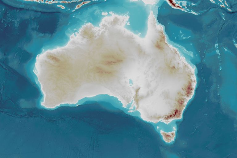
The AusBathyTopo grid series provides a seamless 3D dataset of Australia's land and seabed to support planning, scientific research and marine management.