


Water from rocks in Timor-Leste
4 July 2014
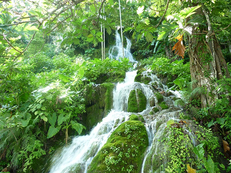
Groundwater spring emerging from a limestone
karst aquifer in central eastern Timor-Leste.
Water availability can often be limited in many districts of Timor-Leste, particularly during the dry season that often lasts for over half the year.
Geoscientists from Geoscience Australia have recently helped to identify the potential for major water resources within the rocks of Timor-Leste, as part of an international capacity-building project with our nearest neighbour.
This work represents a significant step forward for Timor-Leste's capacity to secure sufficient water for drinking, agriculture and industry into the future.
Geoscience Australia project leader Dr Luke Wallace said the study assessed the potential of water-bearing rocks, known as aquifers, to supply communities with fresh water, and provide alternatives to more commonly used surface water sources.
The study progressed in scale from understanding local scale groundwater processes to a country-wide perspective on groundwater systems, using multiple scientific approaches.
"We used case study investigations to look at local groundwater characteristics in different rock types, such as sands, fractured rocks and limestone cave systems," Dr Wallace explained.
"A conceptual understanding of how groundwater moves in these different rock types was developed through geological, geochemical and hydrogeological information from the case studies. This understanding was then used as the basis for developing a new national hydrogeology map of the country, consistent with existing international classifications," he said.
"The overarching outcome of this study is a new understanding of Timor-Leste's groundwater resource potential. This demonstrates how water security can be assisted in developing countries through developing fundamental, practical maps and conceptual models."
The three year project produced a new national hydrogeology map for the country as well as accompanying monitoring guides and vulnerability assessment, followed by training and information workshops.
The project was completed as part of a partnership formed between the Timor-Leste and Australian Governments to evaluate the groundwater resources in Timor-Leste and to help build the capacity of Timor-Leste agencies in monitoring, assessing and managing this water. Government representatives from Timor-Leste were involved in all aspects of the work from hands-on practical training of field staff through to delivery of workshops with local government officials.
A series of short videos explaining the Timor-Leste groundwater project is now available for viewing via Geoscience Australia's YouTube channel in English and in the local language Tetum.
The major outcomes from the project were previously reported in Vulnerability Assessment of Climate Change Impacts on Groundwater Resources in Timor-Leste: Summary Report. The report is also available in both English and the local Tetum language.